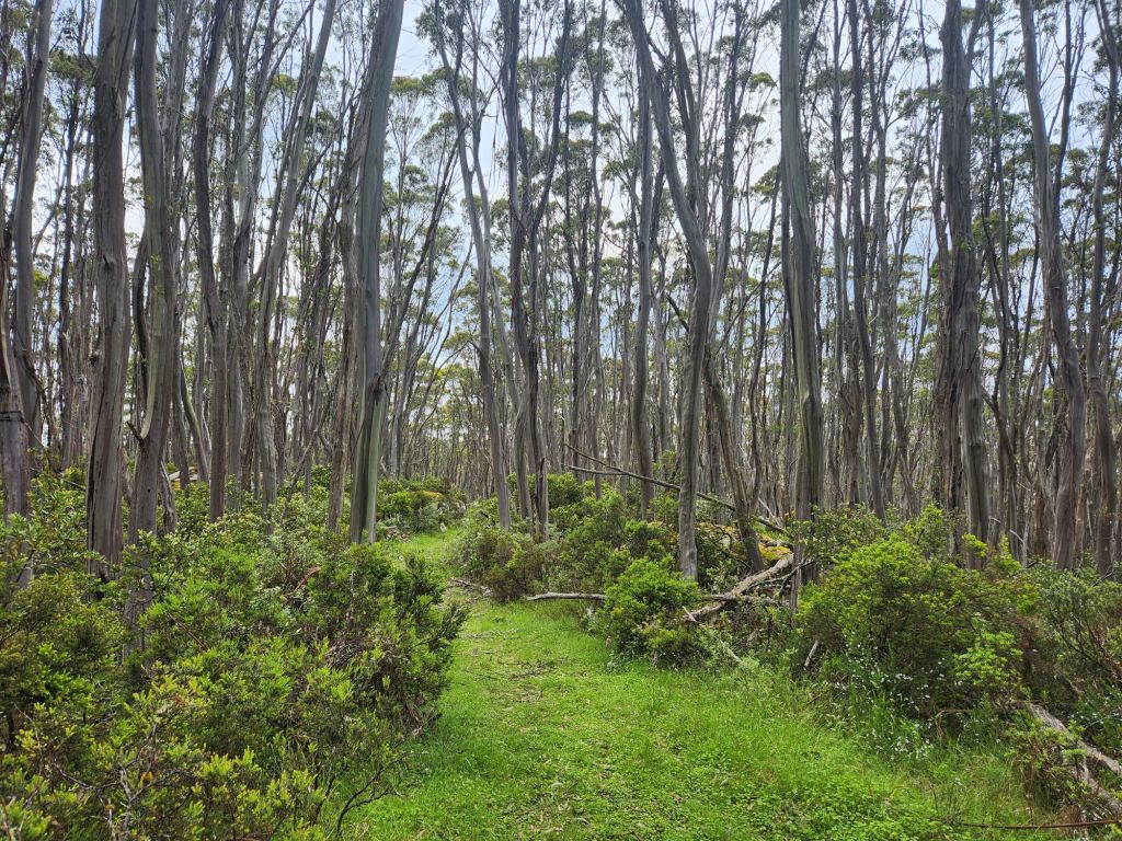
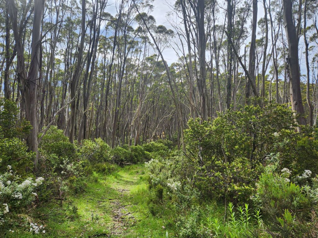
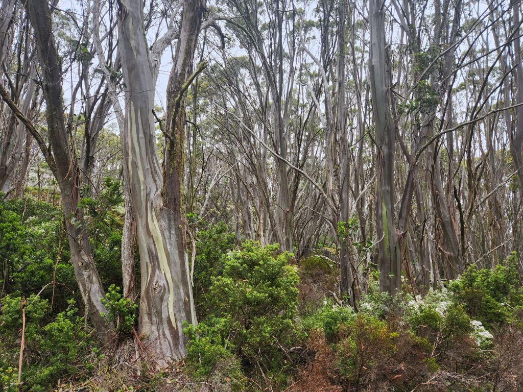
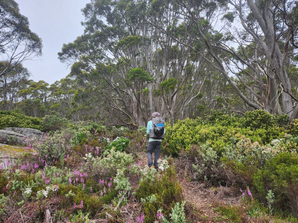
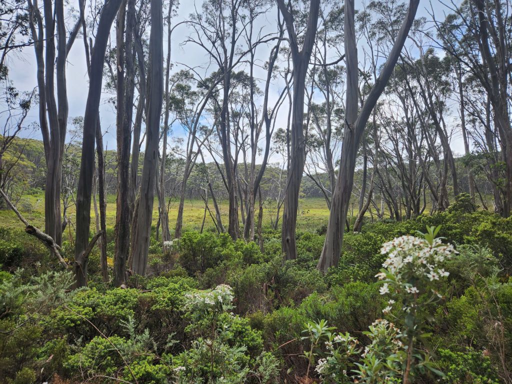
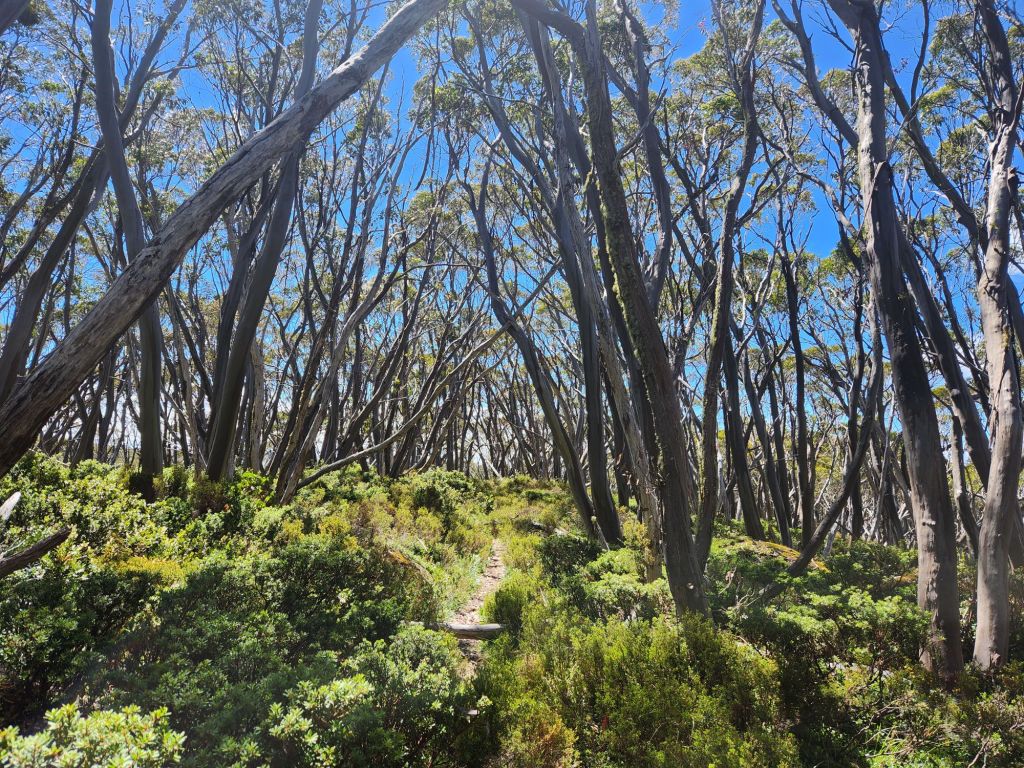
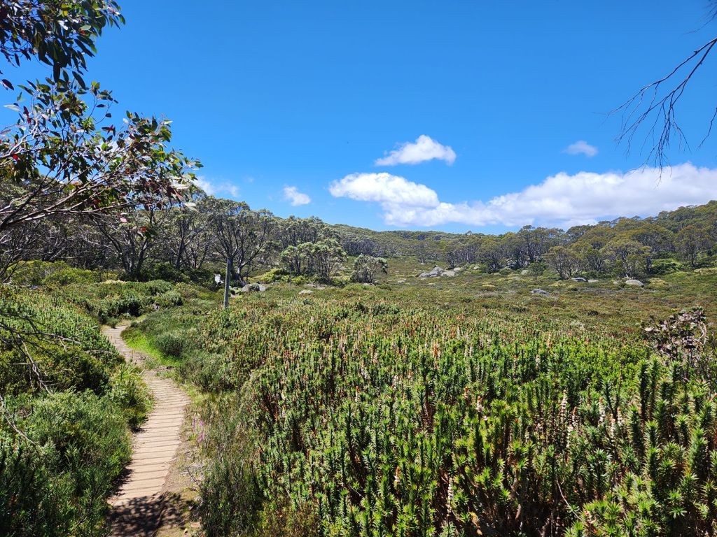
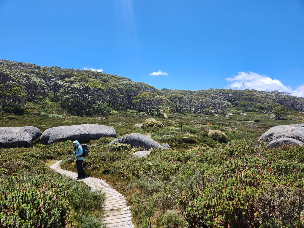
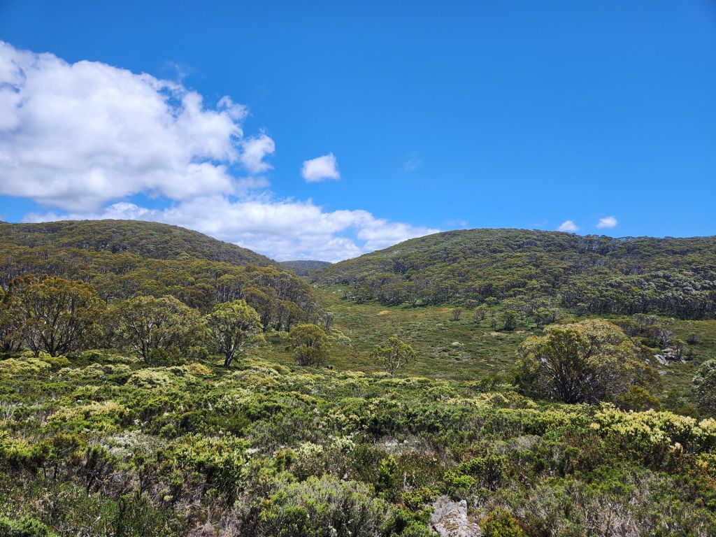
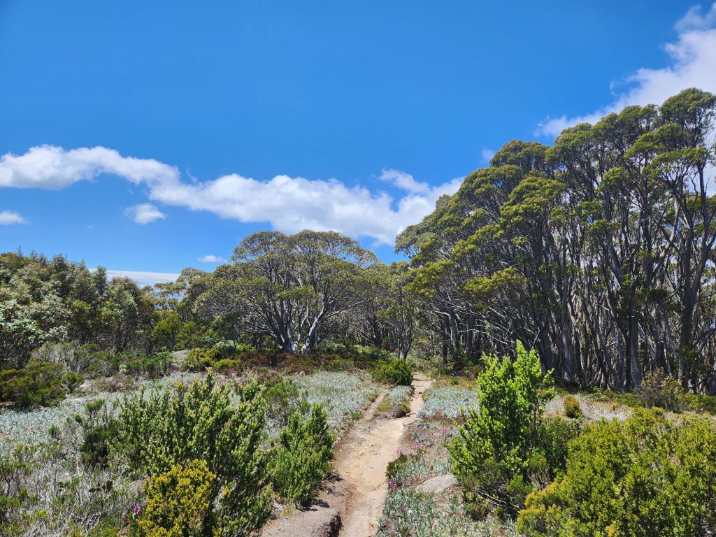
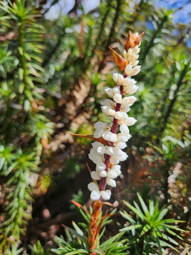
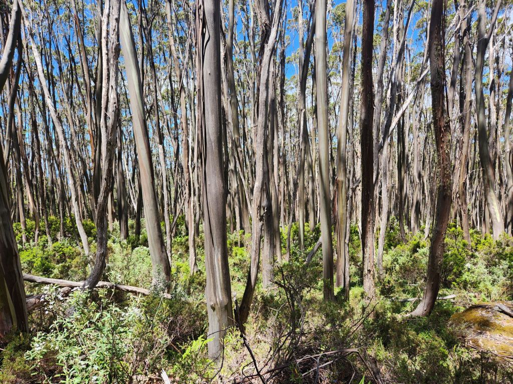
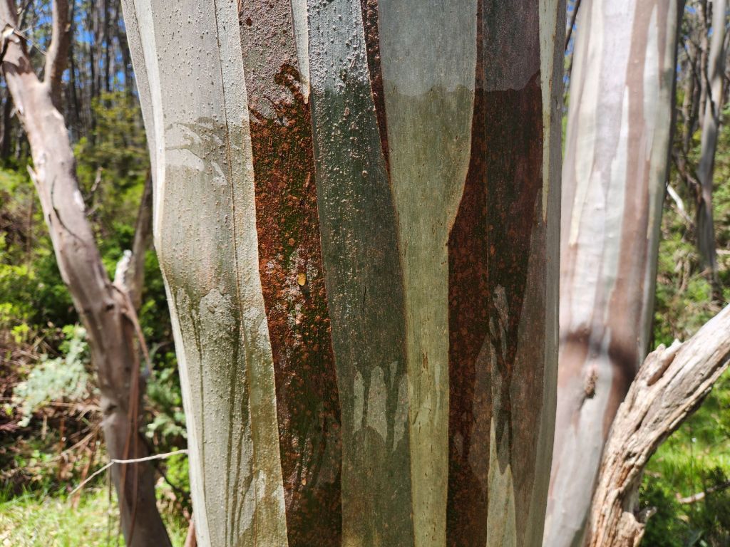
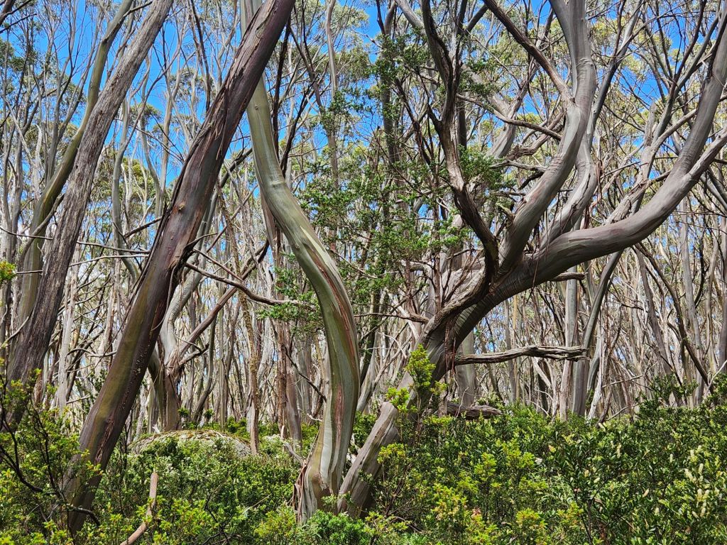
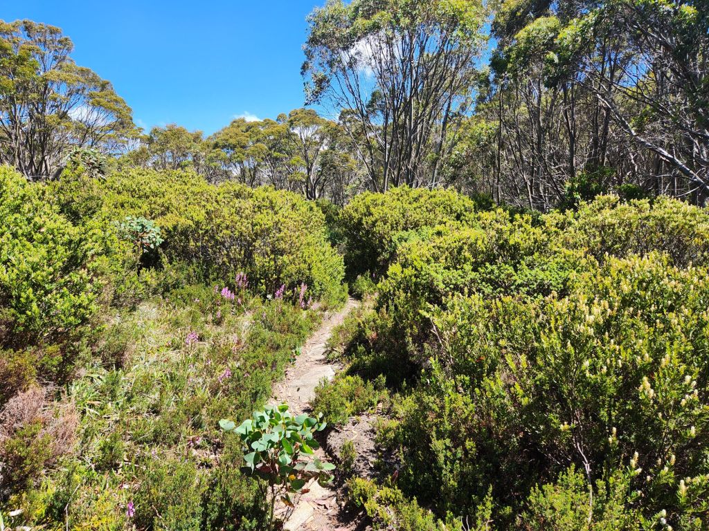
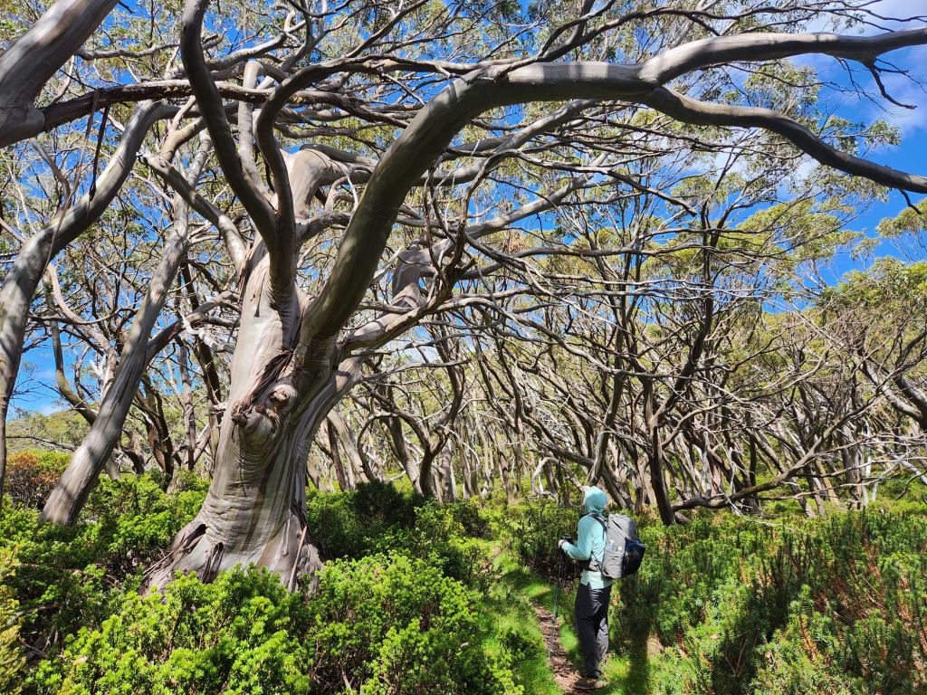
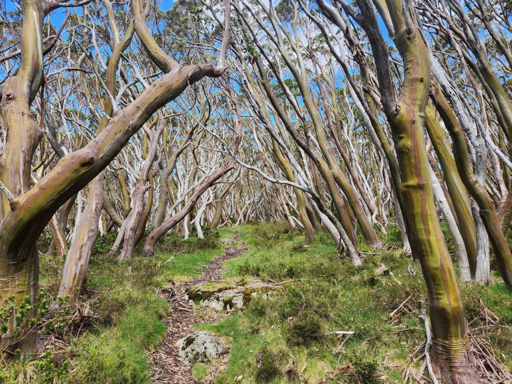
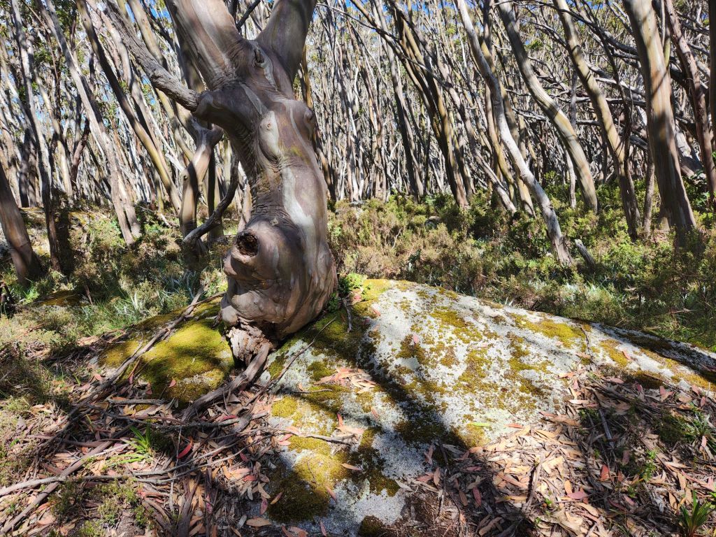
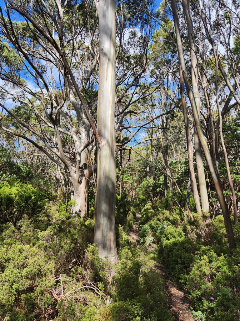
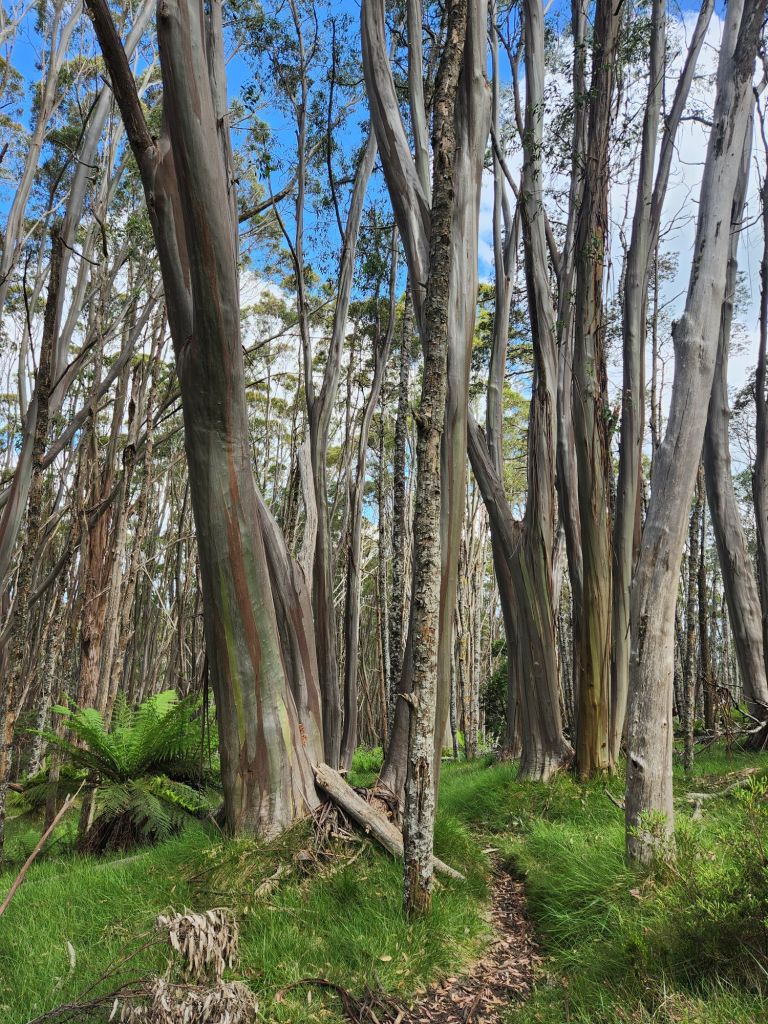
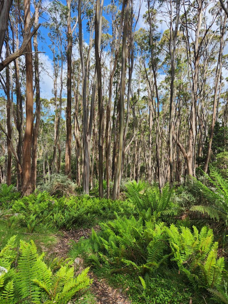
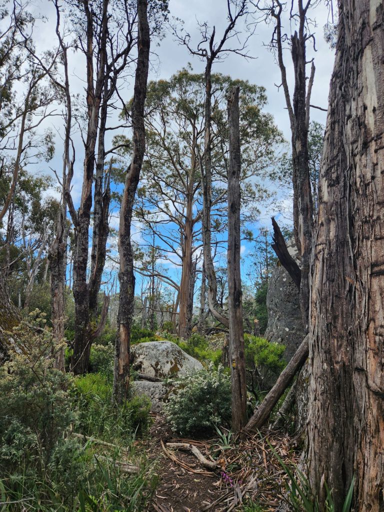
Today was so lovely. Jack joined us for a cup of tea, then we headed off across the Baw Baw Plateau. We spent the whole day walking through a snow gum forest completely unaffected by bushfire. It’s the first place I’ve seen that. The only thing that could have made it better was if it had rained and the trees were wet, making the colours really pop. Jack and I spent the whole day chatting and walking through that amazing landscape. What a great way to finish (almost) this hike!


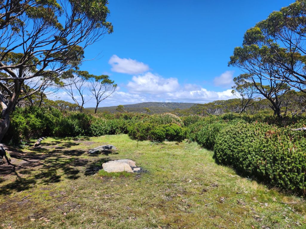
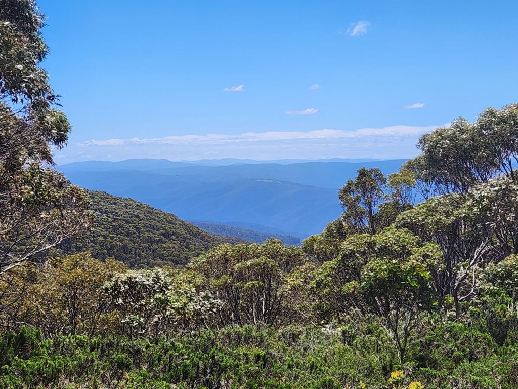
We detoured via Mt Saint Gwinear for lunch which had awesome views back over the mountains we’ve climbed – even Mt McDonald and Mt Clear way off in the distance. So beautiful.


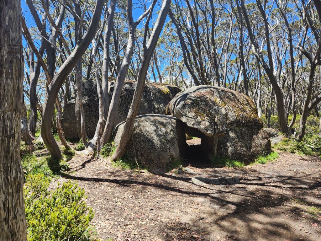


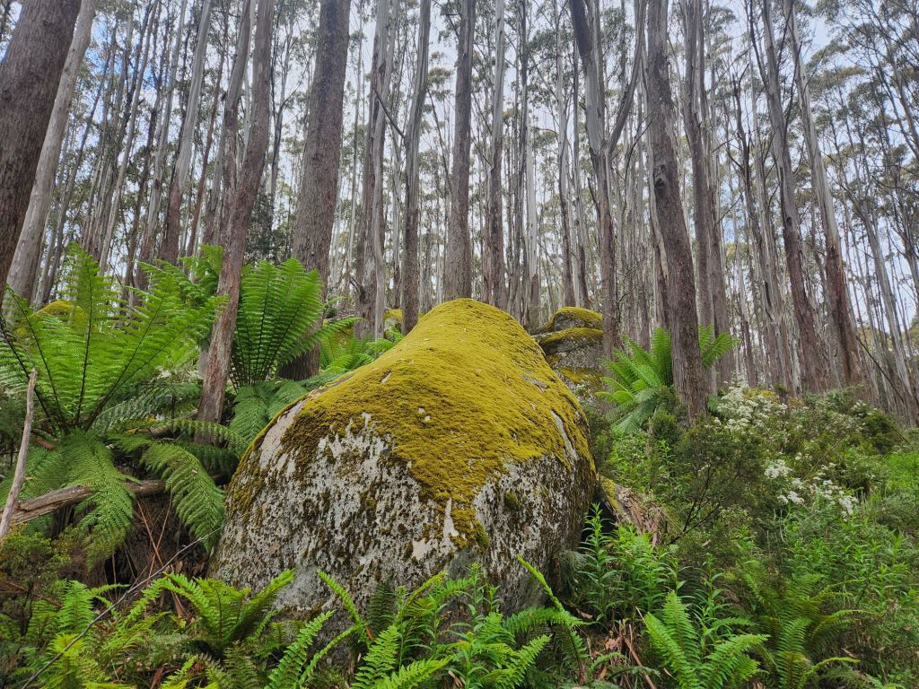
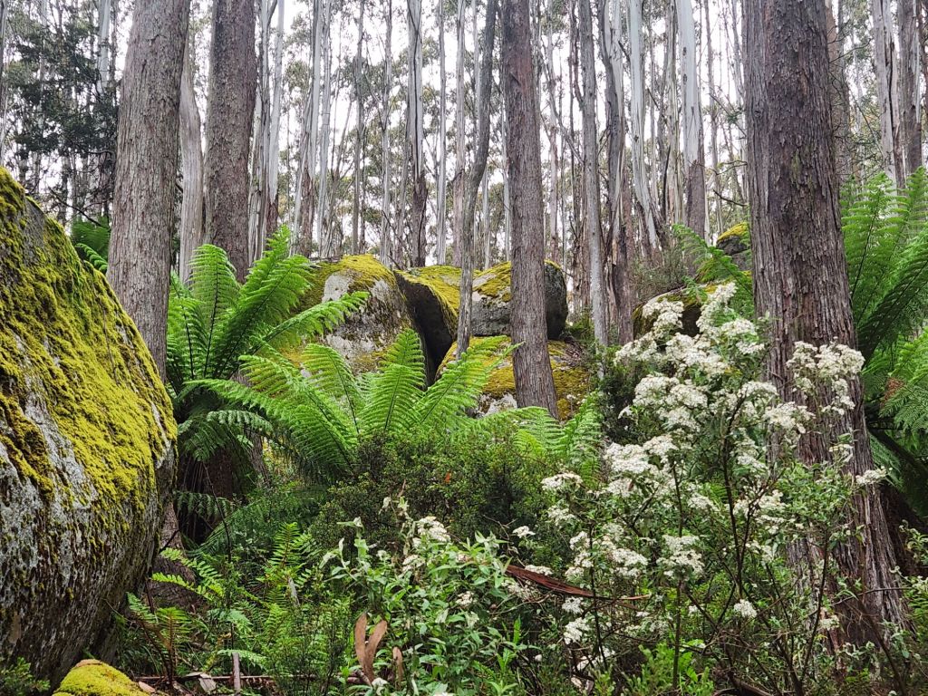
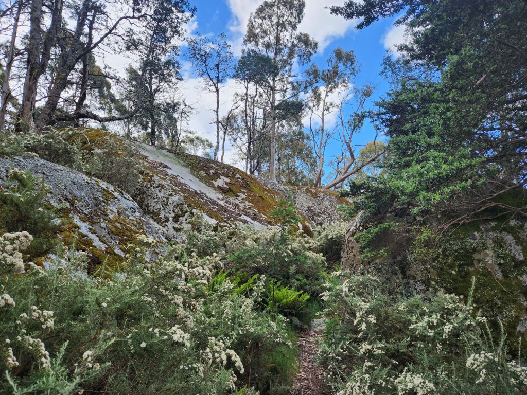
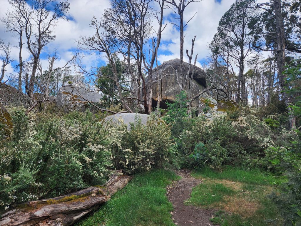
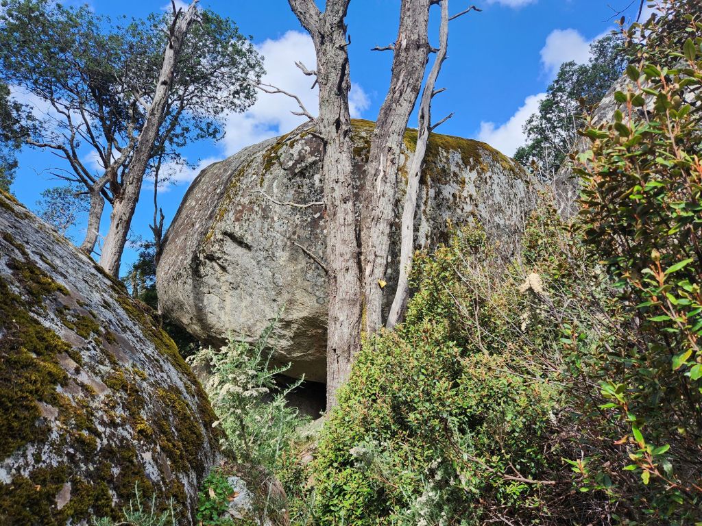
I left Jack at Talbut Hut site where he was going to camp for the night and headed towards Mt Erica carpark to meet Jubbie. He surprised me by meeting me at Mushroom Rocks. They are amazing!


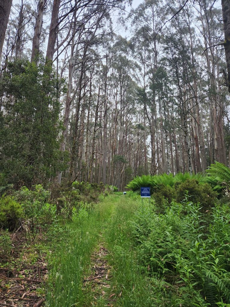
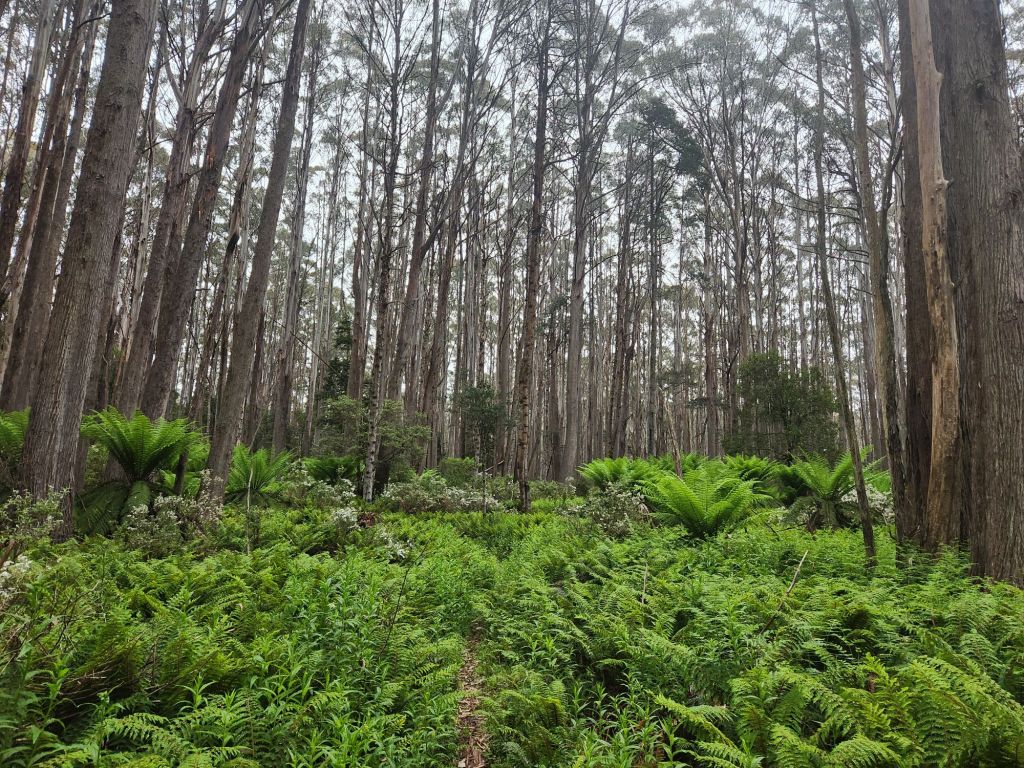
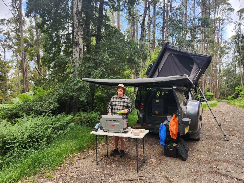
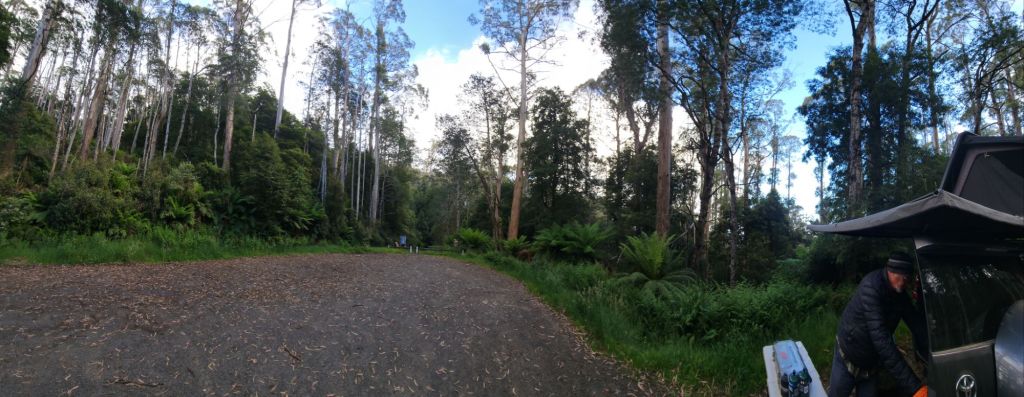
We camped at Mt Erica Carpark, which was actually a really lovely place surrounded by hugely tall trees and ferns and bush. And we had mobile coverage! It was super cold – you know it’s cold when we both wear our puffer jackets and beanies to bed!


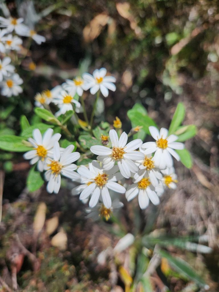
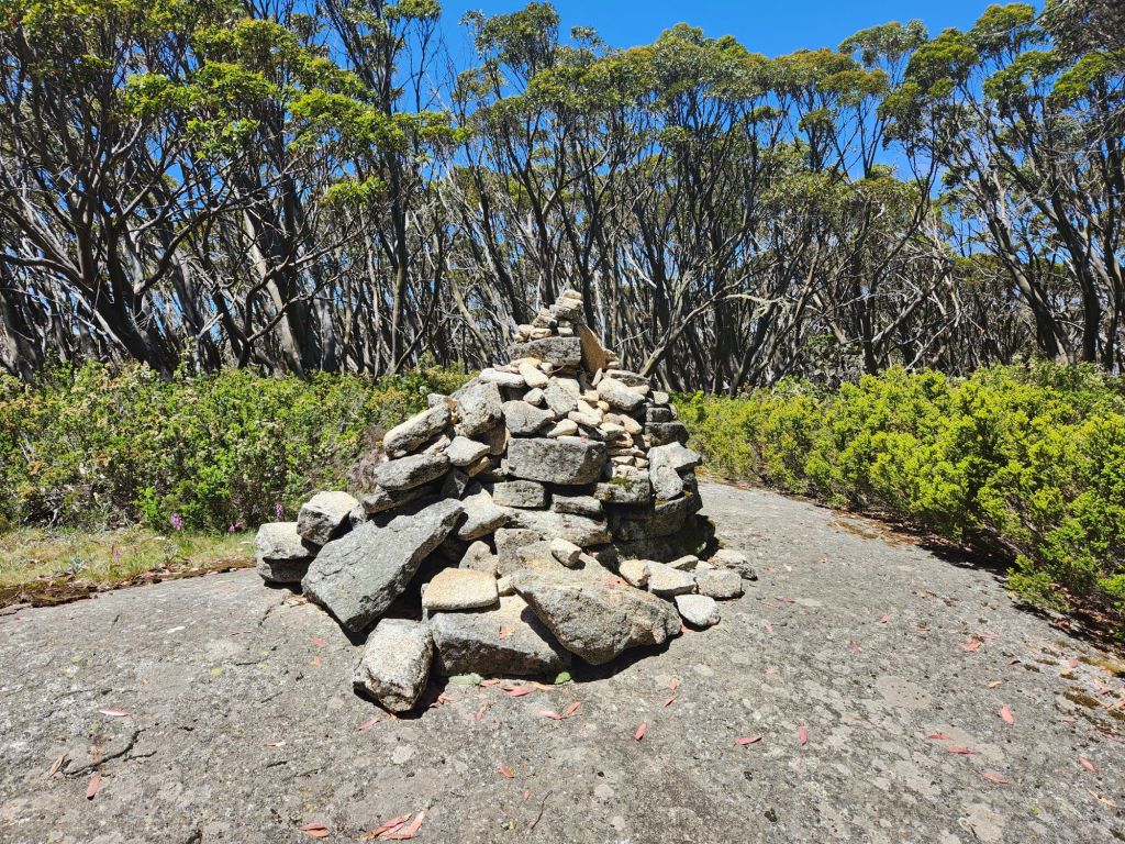
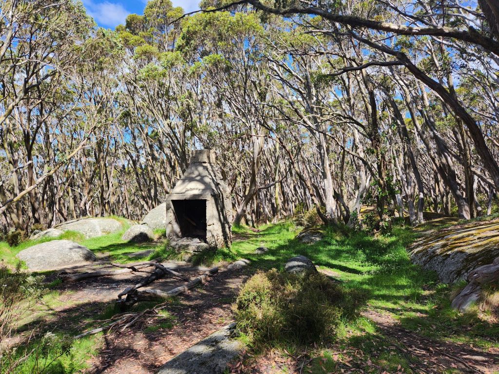
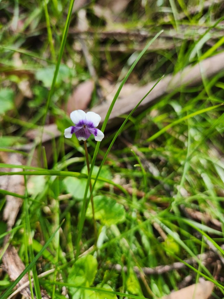
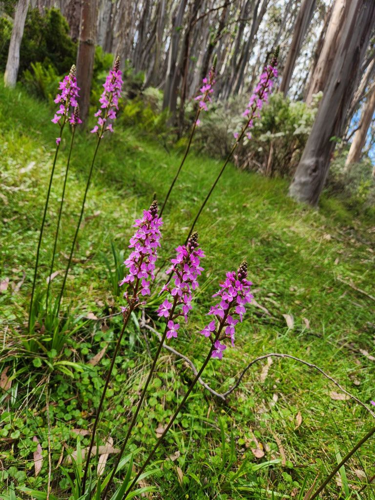
It has been super exciting to read of your incredible journey Kerry. I’d love to know the names of the flowers, what animals the tracks belonged to. I’m also interested in what you said about the devastation of the logging. That is something I’ve been wondering especially in terms of the amount of trees that were down. I’ve just watched a documentary on the importance of biodiversity in forests and how much carbon they contain in comparison with places where trees (all the same) are just planted to offset someone’s carbon footprint. I wasn’t aware of the number of communities that were along the AAWT which have now completely disappeared. You have photographs of what look like fireplaces, are they old buildings or are they created for the hike? I’m also interested in the piles of stones. Are they land marks of communities or something people who hike the tracks do, like a shell at a specific spot on the Camino?
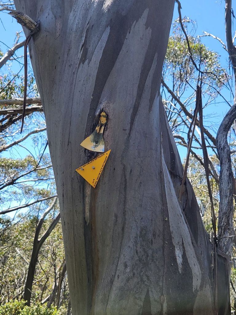
I remember doing some orienteering when I was at school and it was hard enough for an afternoon on school camp. Your descriptions of falling off tracks and then having to and hoping to find them again are a bit scary. Are you using a compass and map? I imagine the hike has been meticulously planned leaving little room for error but obviously mistakes can happen. It’s also lovely to hear of the albeit small community of hikers and the kindness in it.
The photos of Paul’s celebration every time you meet up with him is so lovely.
Hi Paul! Enjoy the last leg and a safe Christmas.
Deb
>
LikeLike