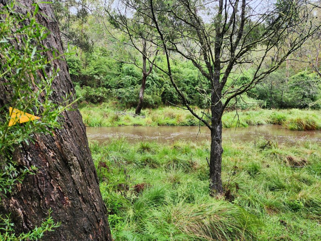
Yesterday’s rest day was so lovely, and we were up early. It was a 40 minute drive from Omeo to the starting point, and I was on the track just before 8am. About 1km in was Morass Creek, and I was concerned it might be too high to cross after all the rain yesterday. So, Jubbie agreed to wait at the drop-off point until I messaged him to say all good or returned to the car. Unfortunately, my messages didn’t get through to him until about an hour after I’d left, and he had to wait that while time, getting increasingly worried that he hadn’t heard from me.
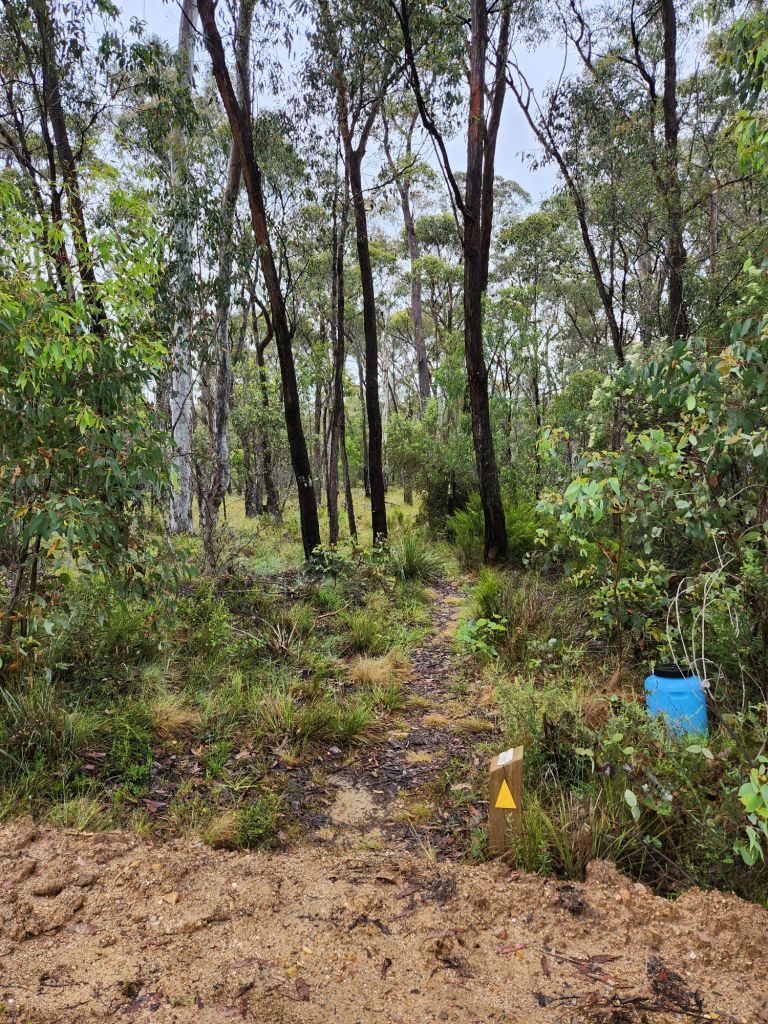


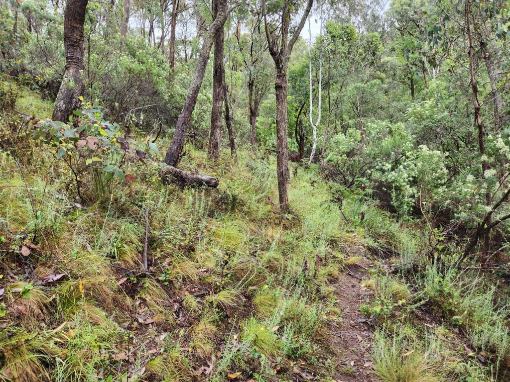
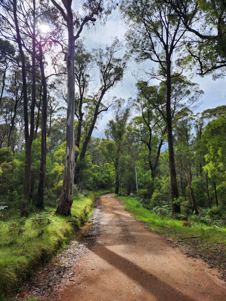
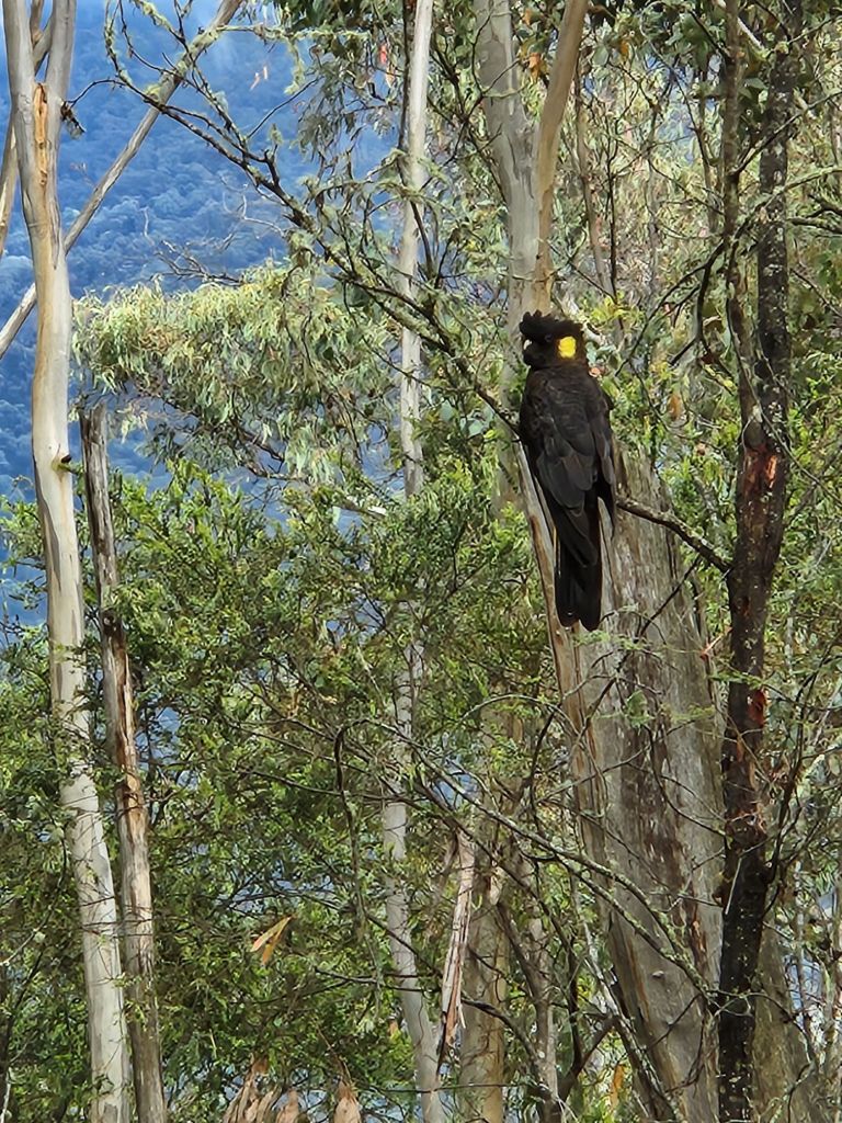
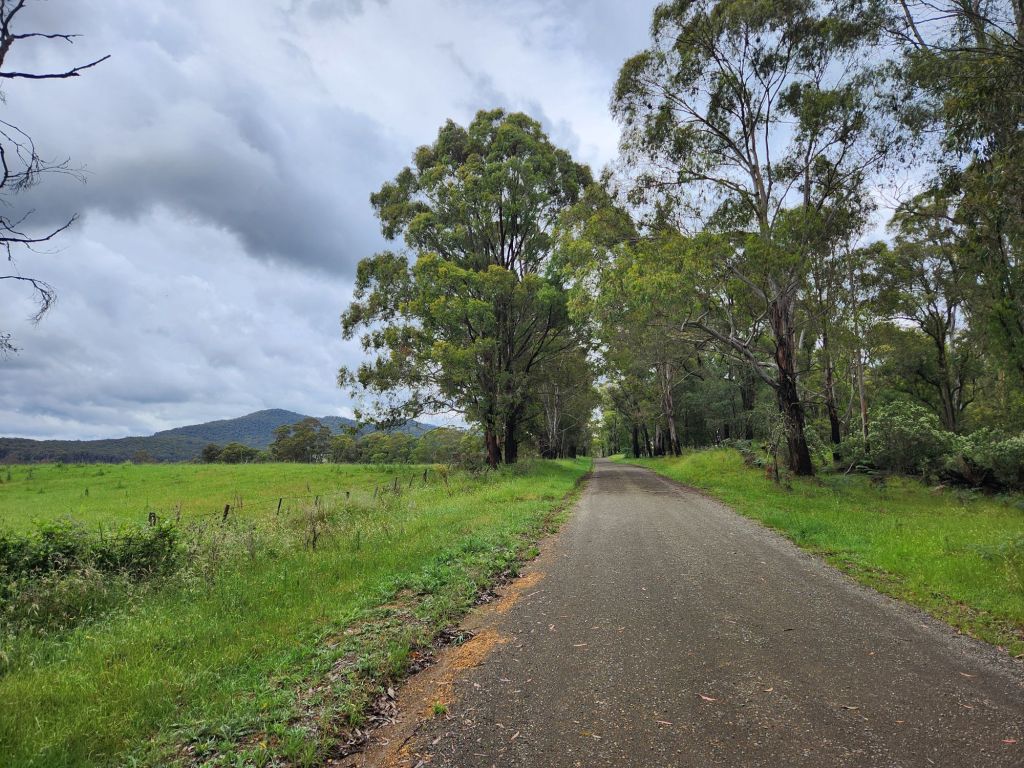
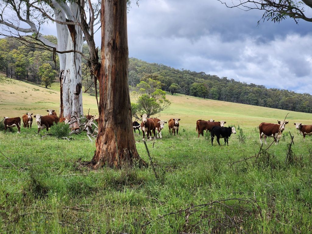
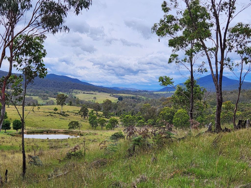
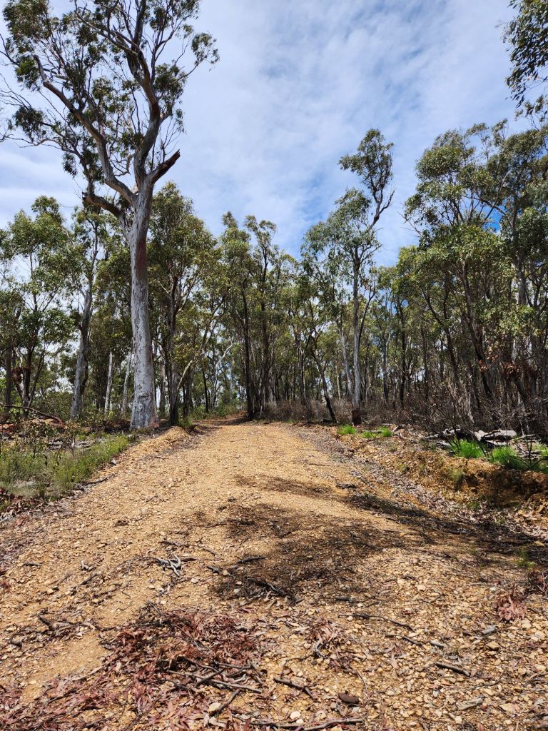
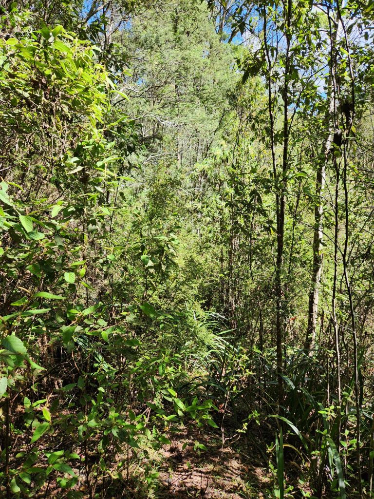
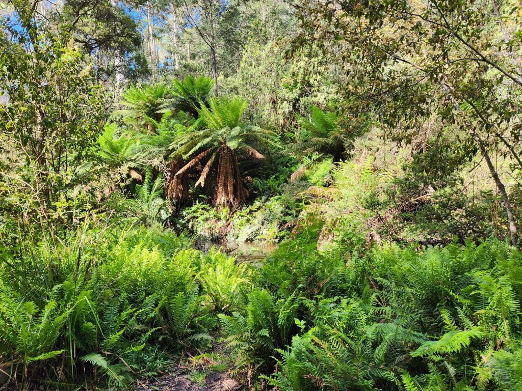
The creek was undies high and flowing quite quickly. I made it across without incident (the water did spin me around, but i managed to keep my footing), just a bit of adrenaline! Jubble’s advice has been so helpful with water crossings – I don’t have to cross the whole river/creek, I just need to take one step at a time and I can turn back if I want. The crossing point was so well marked – super helpful. There was a steep climb away from the creek on a very easy to follow foot track. Finally at the top, my messages got through to Jubble, and he was able to head back to Omeo to check out of the motel. A management trail followed a ridge line for a while, then I was off again onto a foot track to head down hill before joining some quiet country roads passing through farm land. My highlight of this section was the lovely black cockatoo sitting in a tree quite close to the road, having a lovely chat to itself. This section has been re-routed to roads instead of bush tracks while Parks is attempting to control English Broom and is a nice change of scenery.
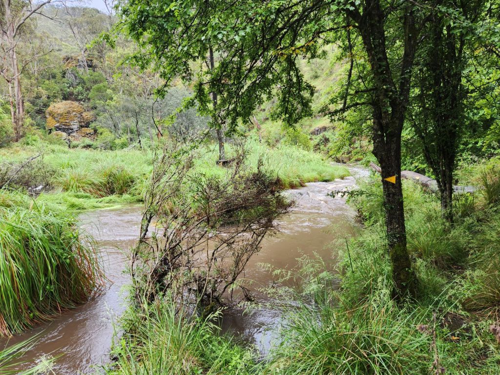

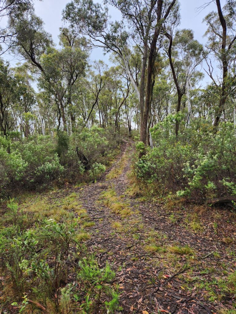


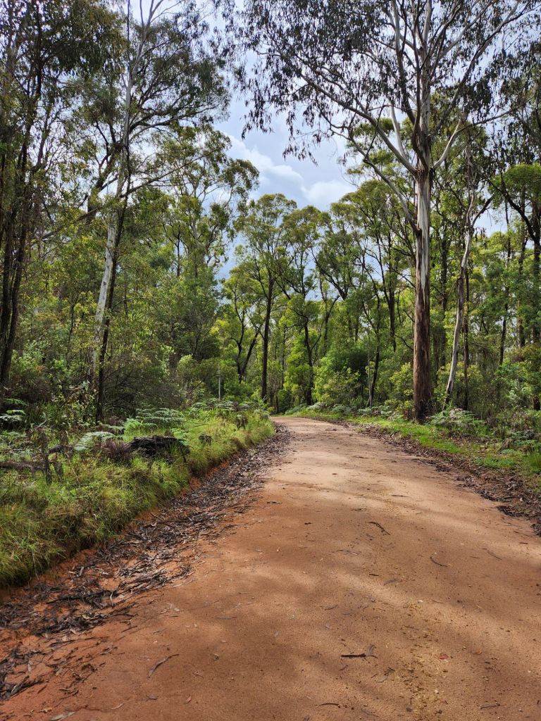
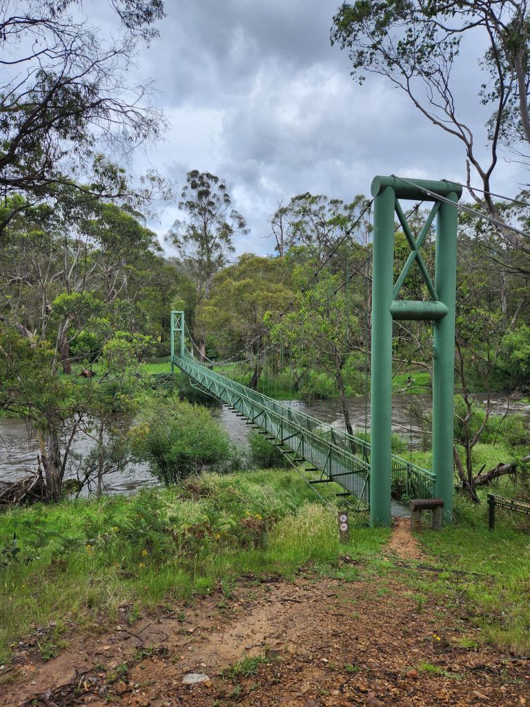
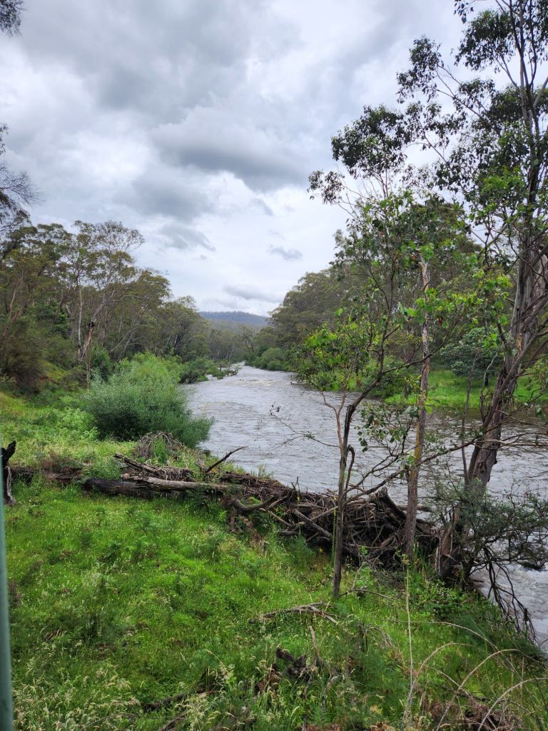
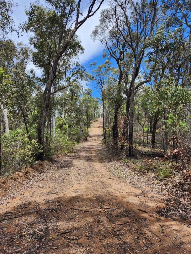
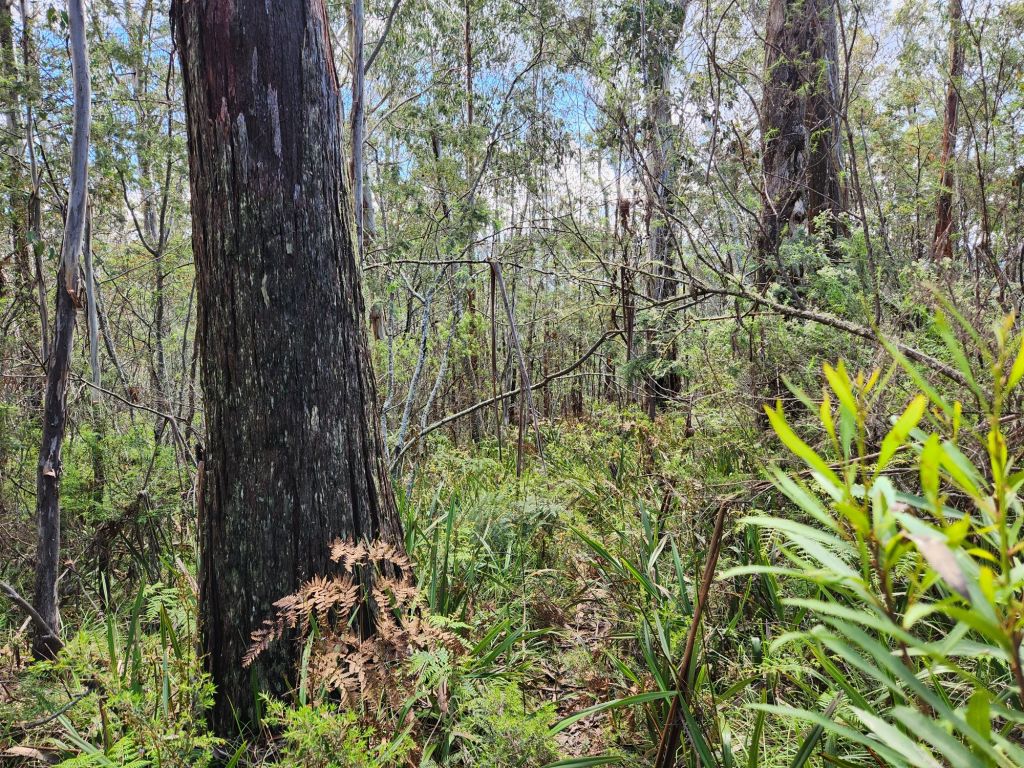
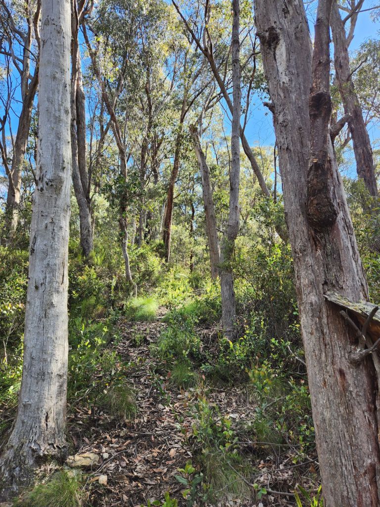
I arrived at Taylor’s Crossing to find Scott, Jake, and Seb drying out their tents and clothes. They’ve copped some rain! It was great to catch up again and hear how they’ve been going. They started at the same place as me this morning, just a bit earlier. Thank goodness for the swing bridge over the Mitta Mitta River, apparently the largest river on this walk (although by far the least challenging – Big River takes that prize as i would find out tonight). After Taylor’s Crossing, the track was dirt roads for quite some time, so fast, easy walking. Then I got to the big uphill. The great thing was that it was on dirt roads, so as easy as very steep uphill can be. The challenging thing was that it just went up forever. Tom’s Link Track, definitely not my favourite part of the AAWT so far.


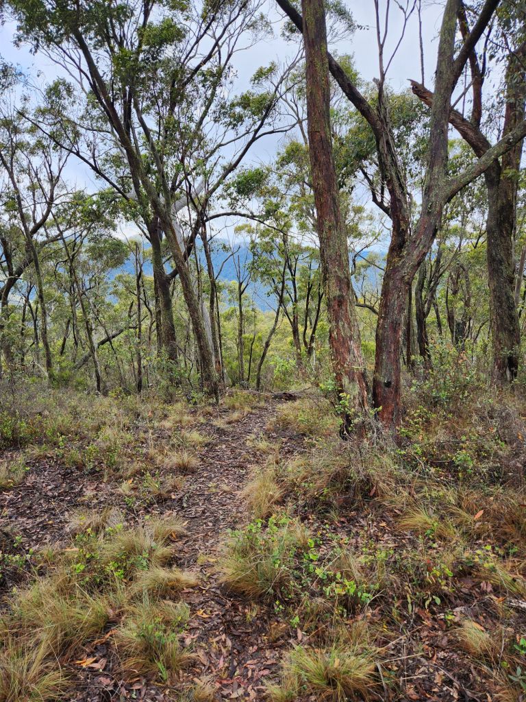
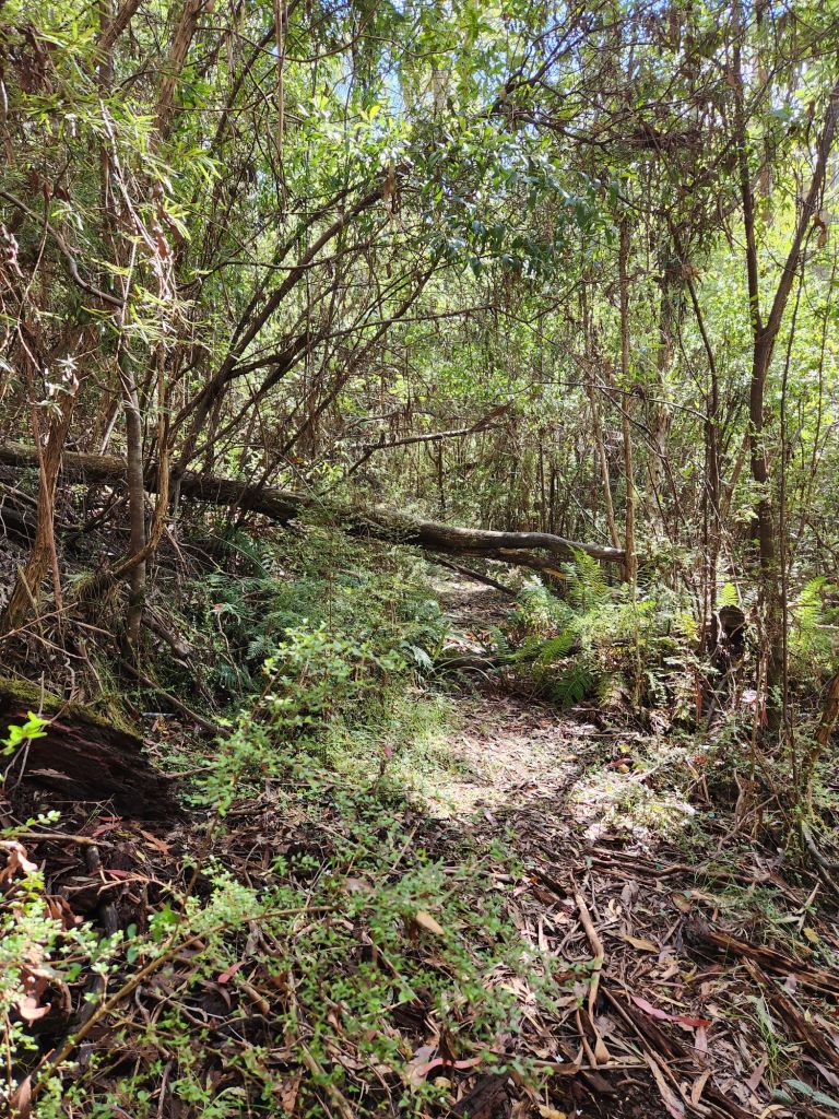
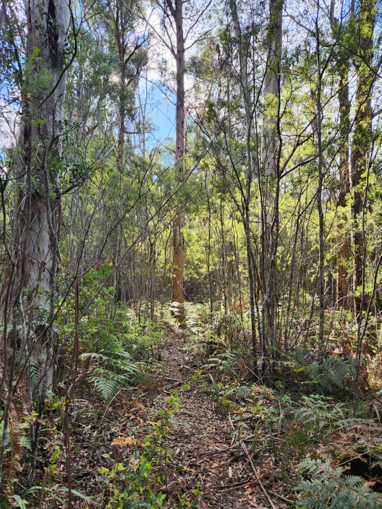
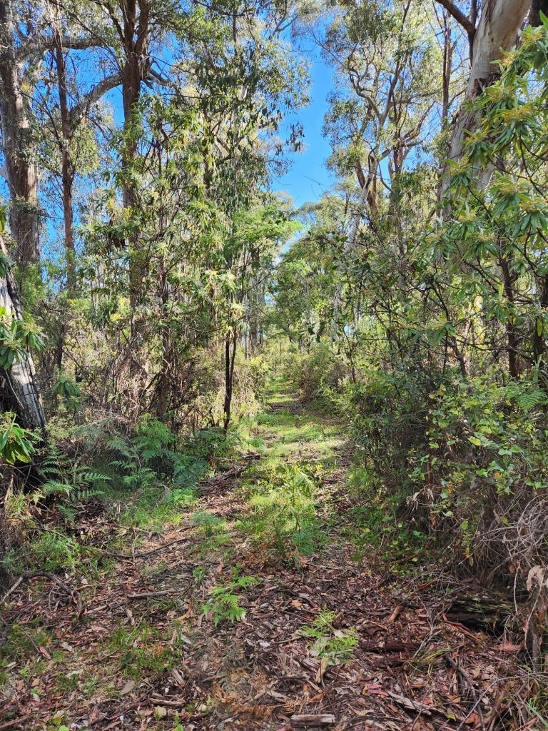
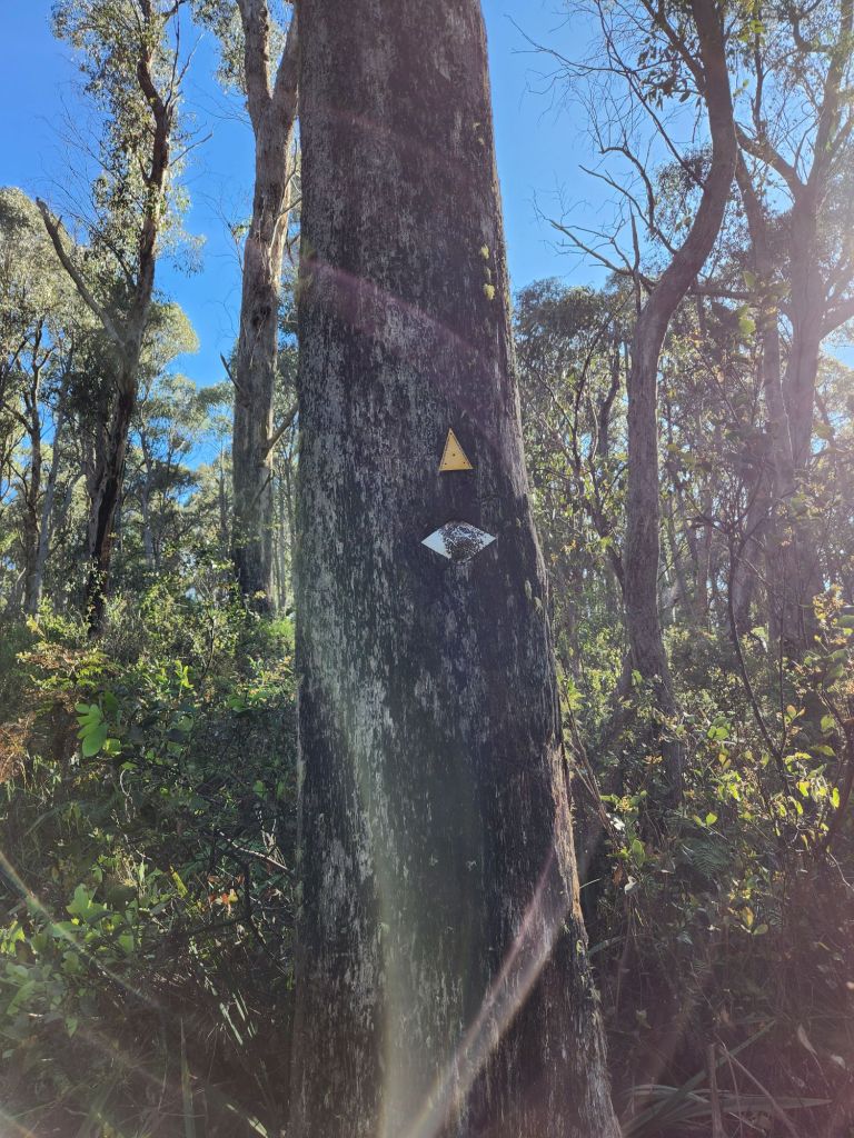
After climbing for about five years, the track went off-road onto a narrow foot track. This also was not my favourite part. The ground was covered with trippy things, it became very steep downhill and my feet slid down in my shoes and socks which made my toe socks dig in between each of my toes the whole way down the hill. It was steep and very slow going. at the bottom, it levelled out, and then the challenge was constant spider webs! At least the path was easy to follow, and no navigation required.


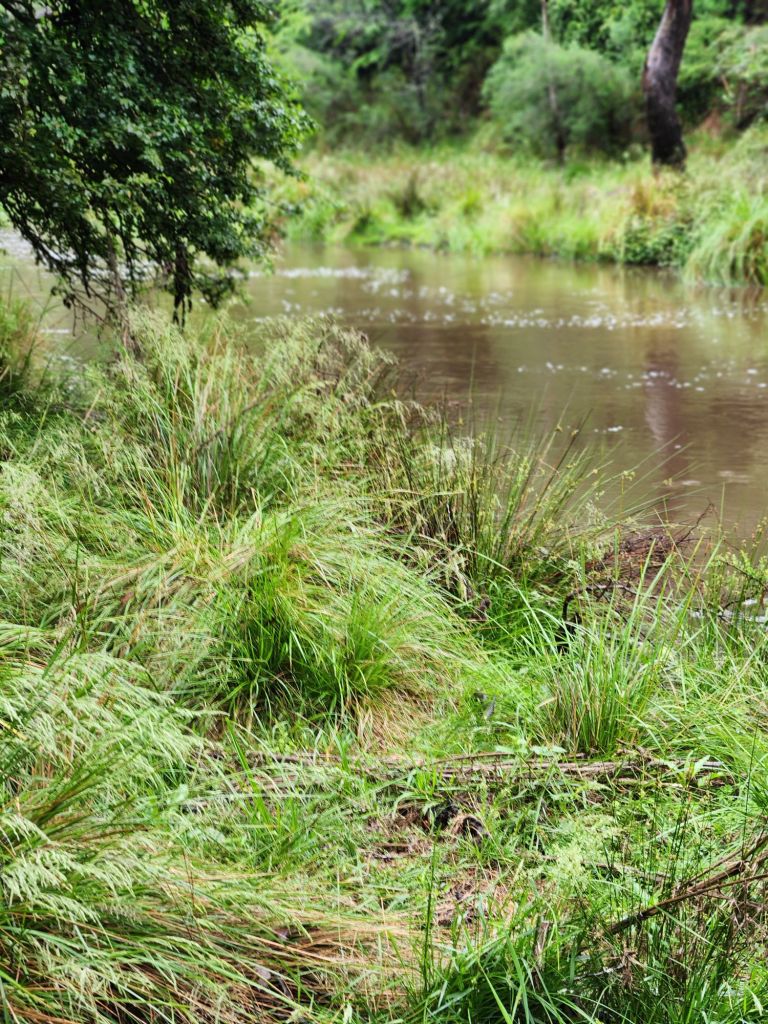
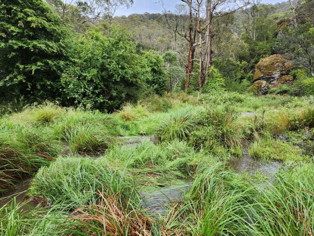
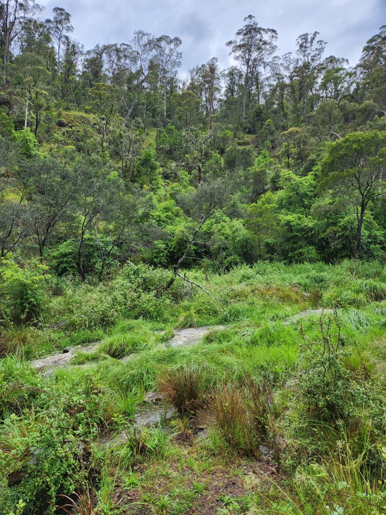
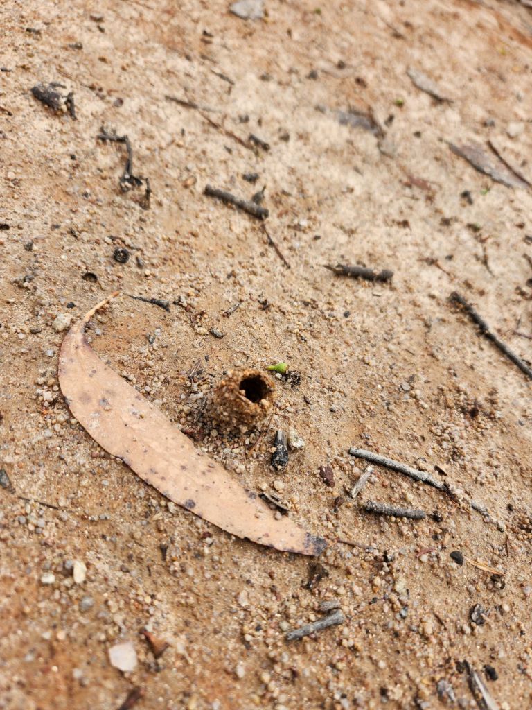
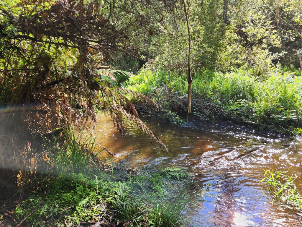
At Gill Creek, I got to the place I thought I should cross, but there were no markers, and I couldn’t see an exit path on the other side. So I climbed back up (watch the blackberries and the slippy mud) to see if there were other options. There were not. So back down I went, and when I went right to the water’s edge, I could see the track on the other side. It was an easy crossing over to a little grassy area people camp at. The guys are planning on camping here tonight- not sure if three tents will fit there (i later found out all three tents did not fit, so Seb camped on the slopey track heading up hill!). I thought I’d fix my socks there until I looked down and saw two leeches on my leg (appatently the guys had leeches all over their tents and Scott even invited one inside which resulted in his sleeping sheet looking like a murder site). I left immediately!
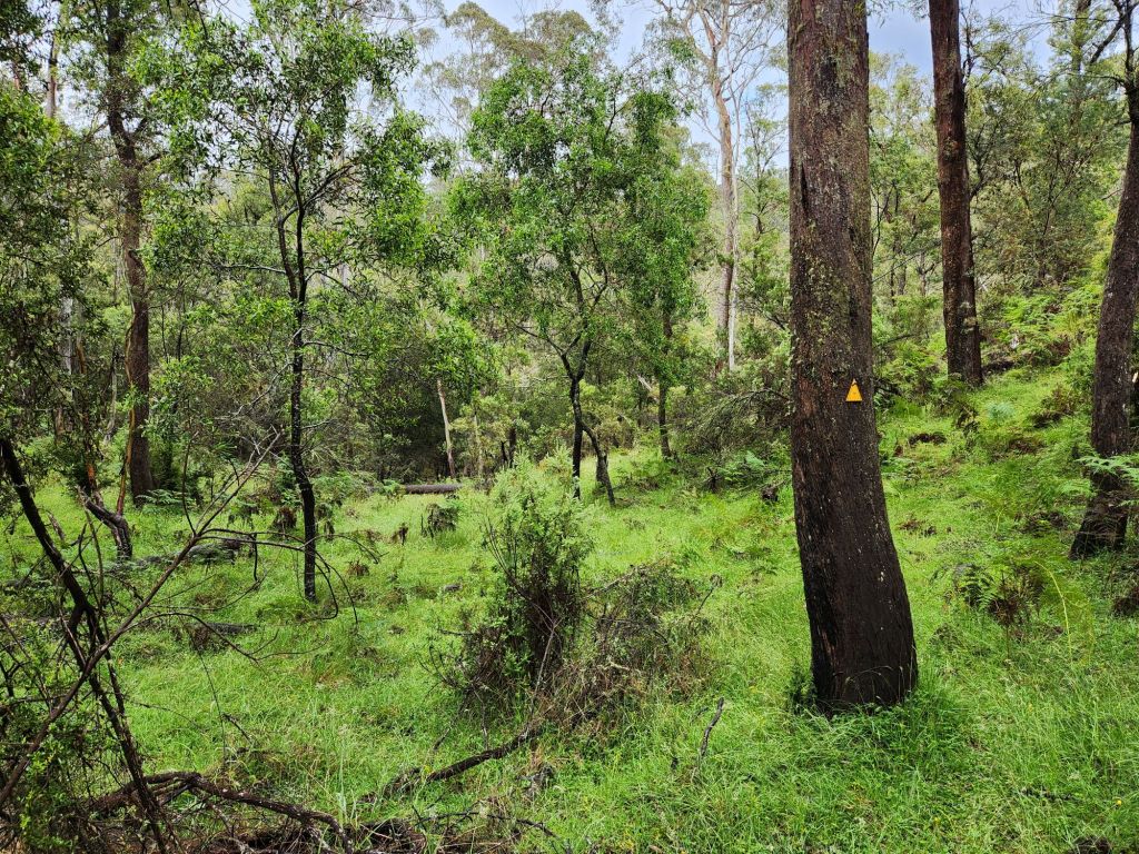
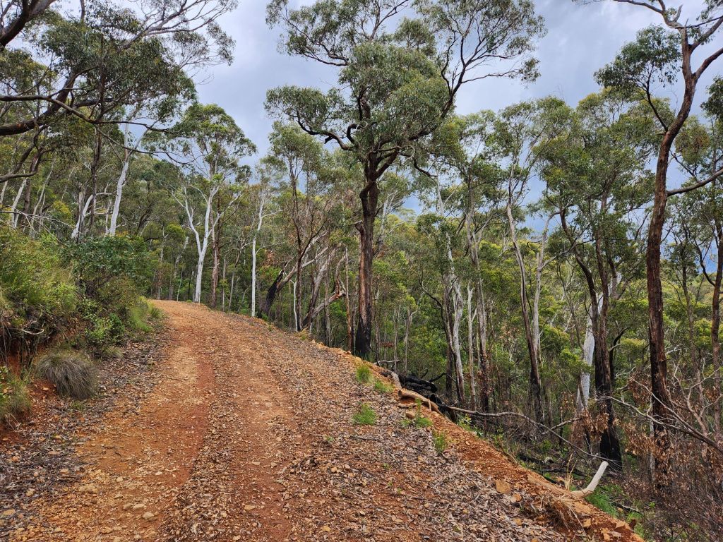
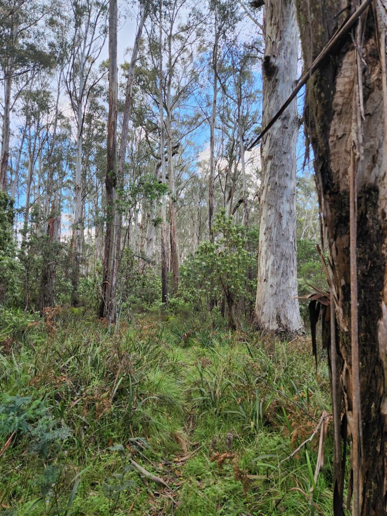
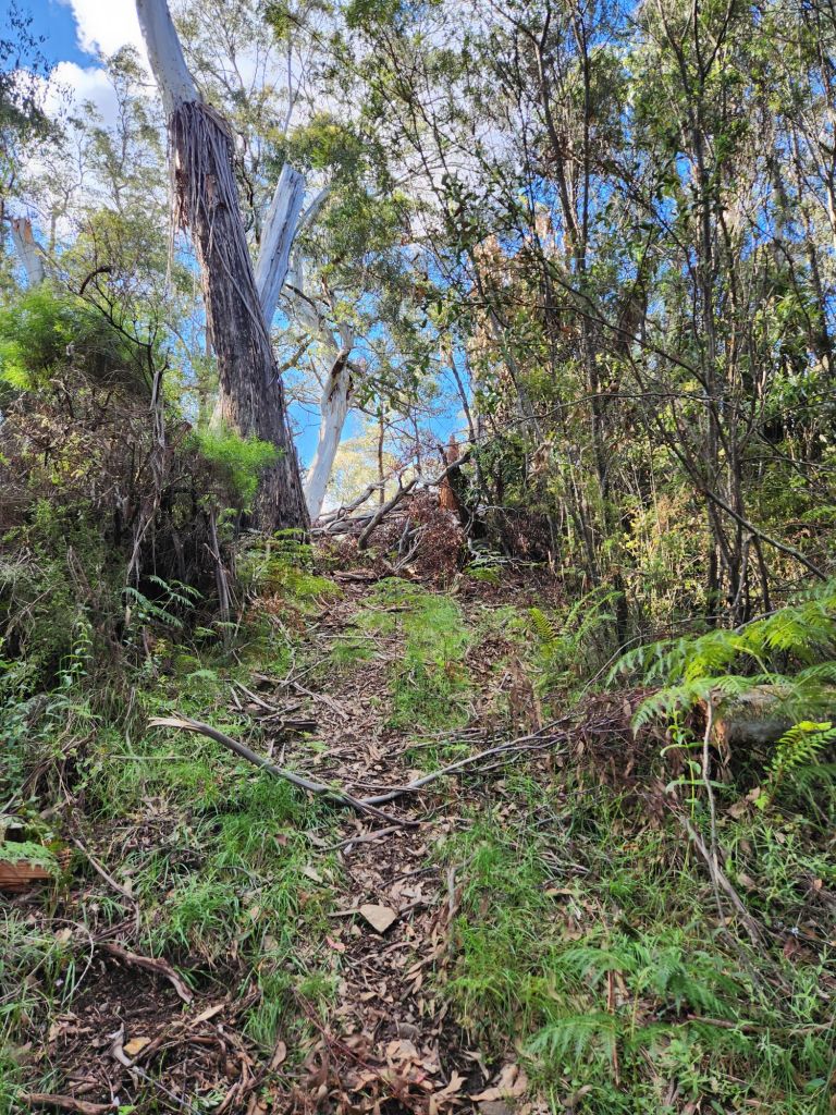
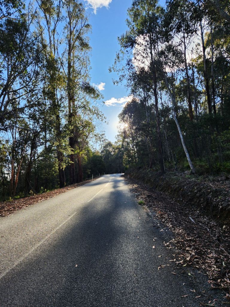
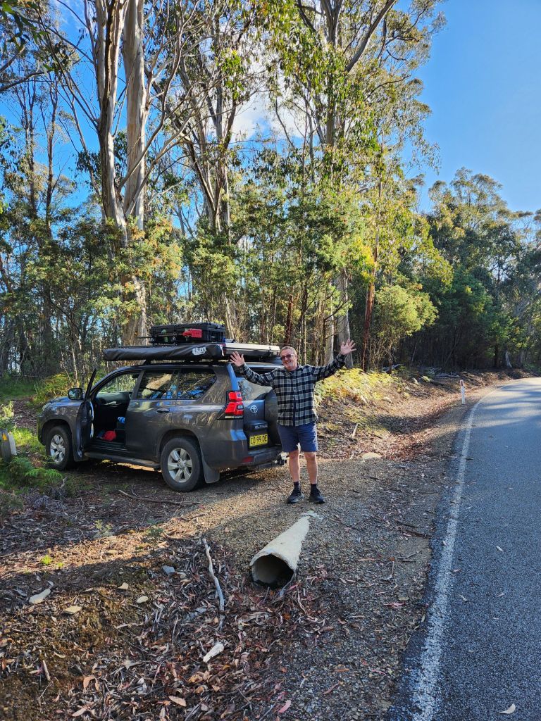
The track uphill was great. It was a management trail, not overgrown, no trippy things on the ground, and significantly more enjoyable than the one down to Gill Creek. I didn’t even really mind that I was climbing yet another hill. Close to the top, I startled a samba who gave a massive honk and completely startled me! Jubbie met me at Omeo Highway, then I walked the couple of kms along the highway to tomorrow’s starting point.


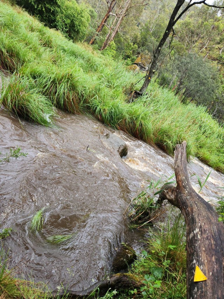
We stayed at Big River Campground about 10 mins drive away. Luckily we met a couple of hikers who are going northbound and said they weren’t supposed to be here, but they weren’t able to cross Big River because it’s too high from all the recent rain (they had to bush bash all the way to a road bridge to cross). Now I’m in a dilemma. I’m supposed to cross Big River tomorrow, but will the water have fallen enough for me to do that? It’s quite a long walk to find out (14km from the nearest point Jubbie can get to) and also a very steep track down to the river (600m in 3km). It would be very crap to get there and find it uncrossable and have to backtrack or camp down there with all the leeches. The other thing is that big rain is forecast for Tuesday (it’s Sunday today). If I can’t cross tomorrow, when will be my next chance??

