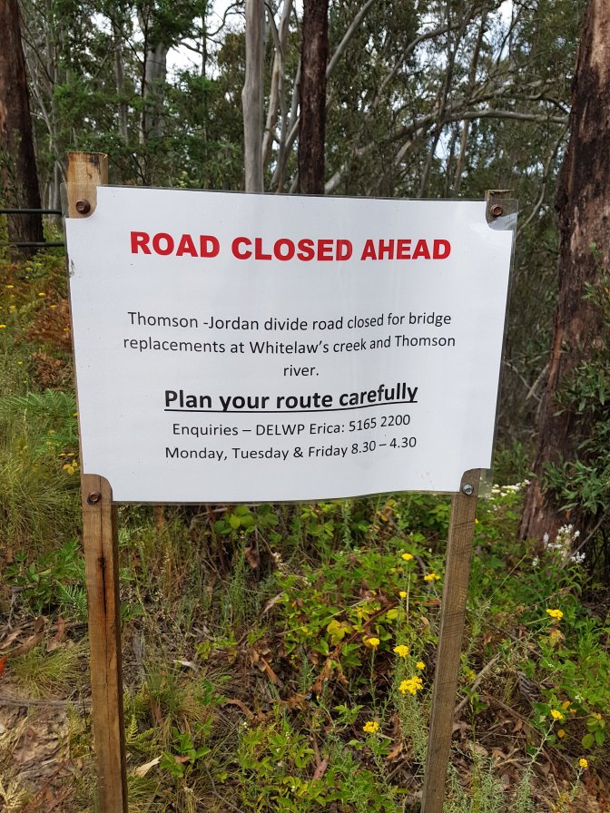
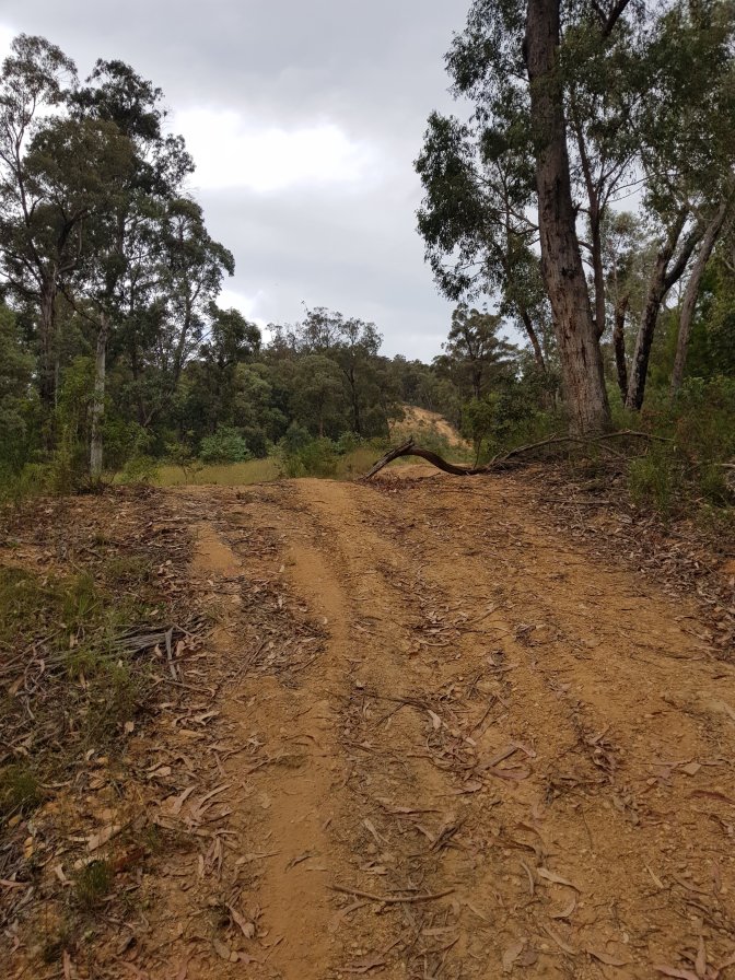
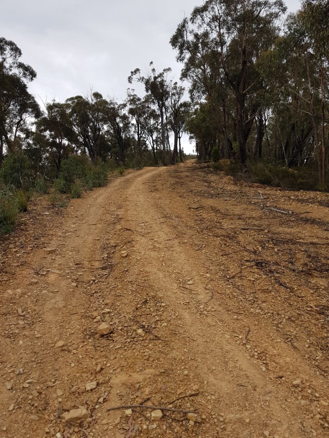
I was pretty low energy this morning when I woke up. I took it easy and was finally ready to set off by 9:15. After 400 metres I came across a sign saying a bridge near this afternoon’s meeting point was closed for replacement and I was concerned that would impact Jubble getting to me. I turned off flight mode and after a few unsuccessful attempts of talking to each other, he drove up. We stuffed around with maps for about 40 minutes before deciding all was ok and I’d continue (it ended up the bridge closure was on his road but given the bridge was still there and being a Saturday no one was there working to stop him, he decided to drive across it anyway). So it was now after 10am and I had 22kms to do. Most would be on tracks, but there was a section around Mt Easton that concerned me – the book inferred navigation would be required.

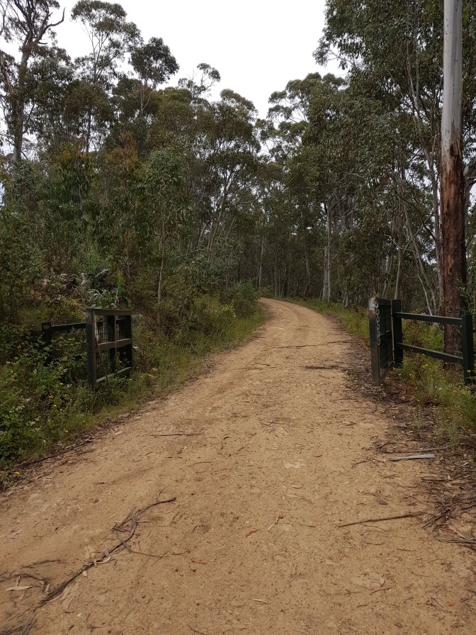
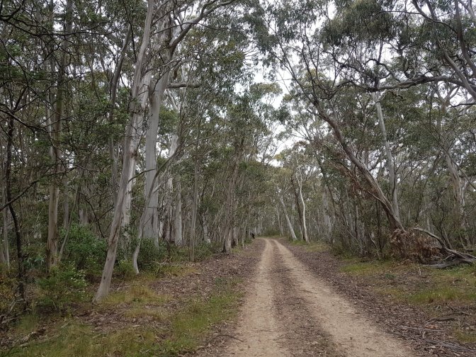
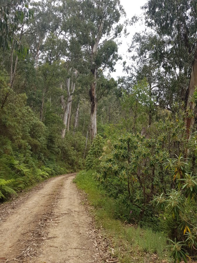
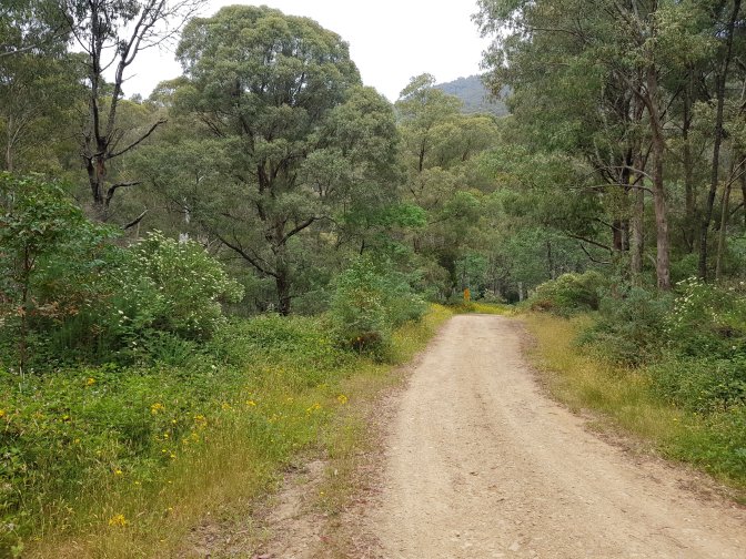
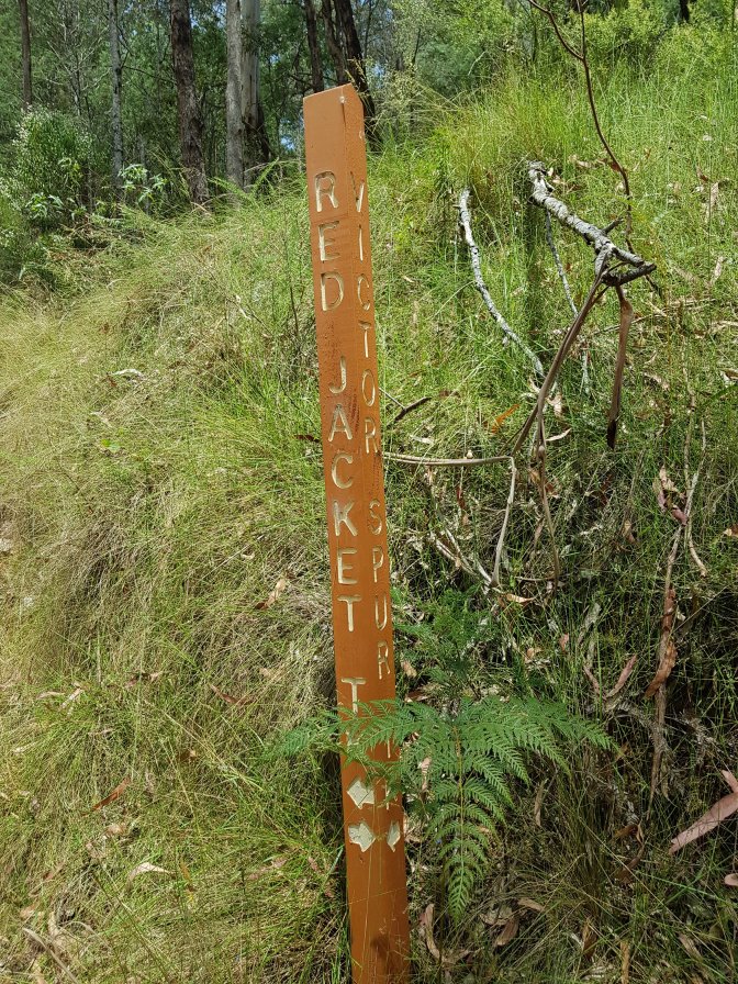
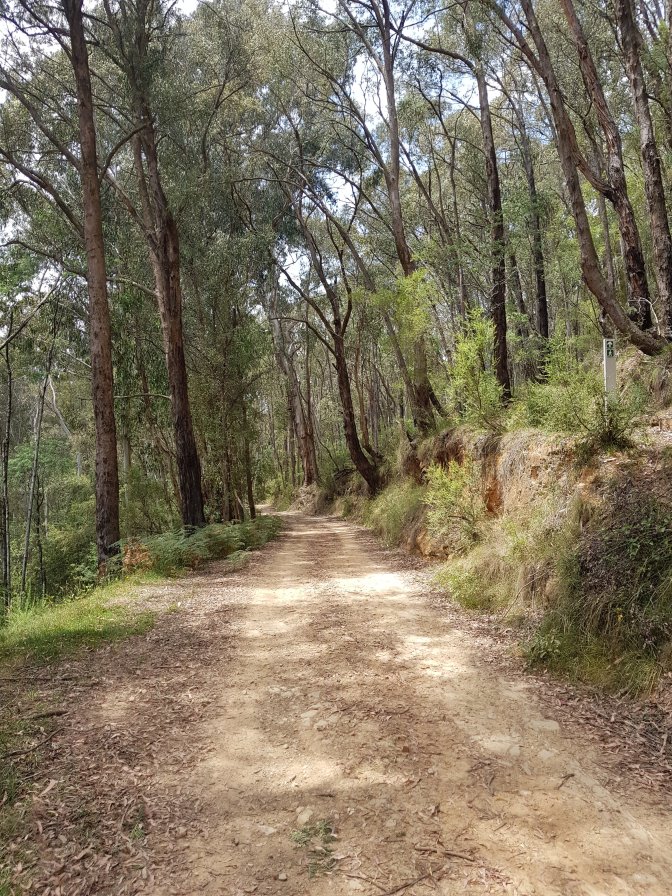
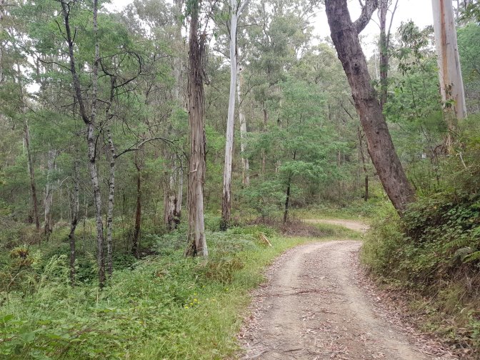
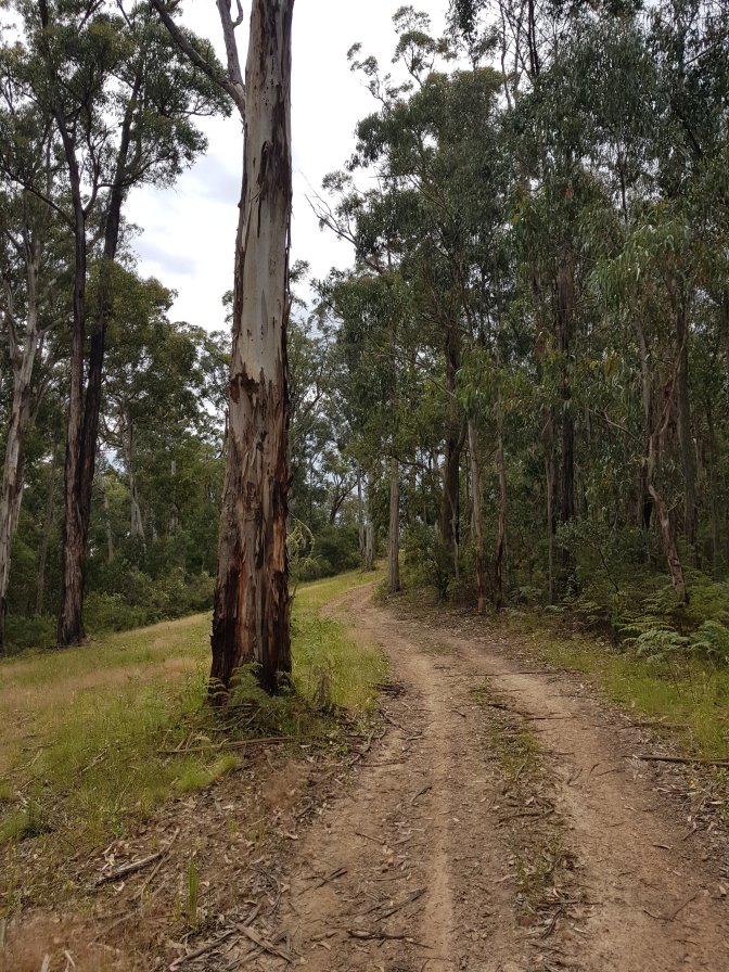
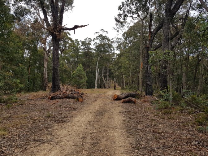
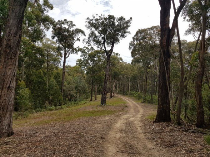
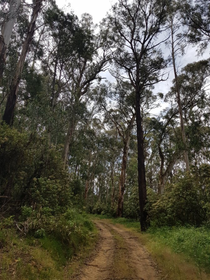
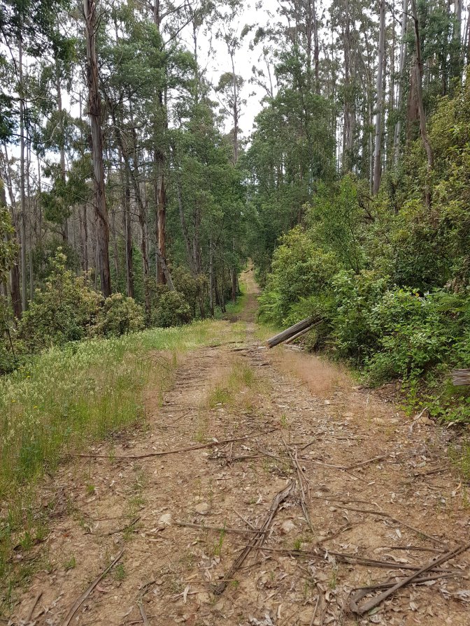
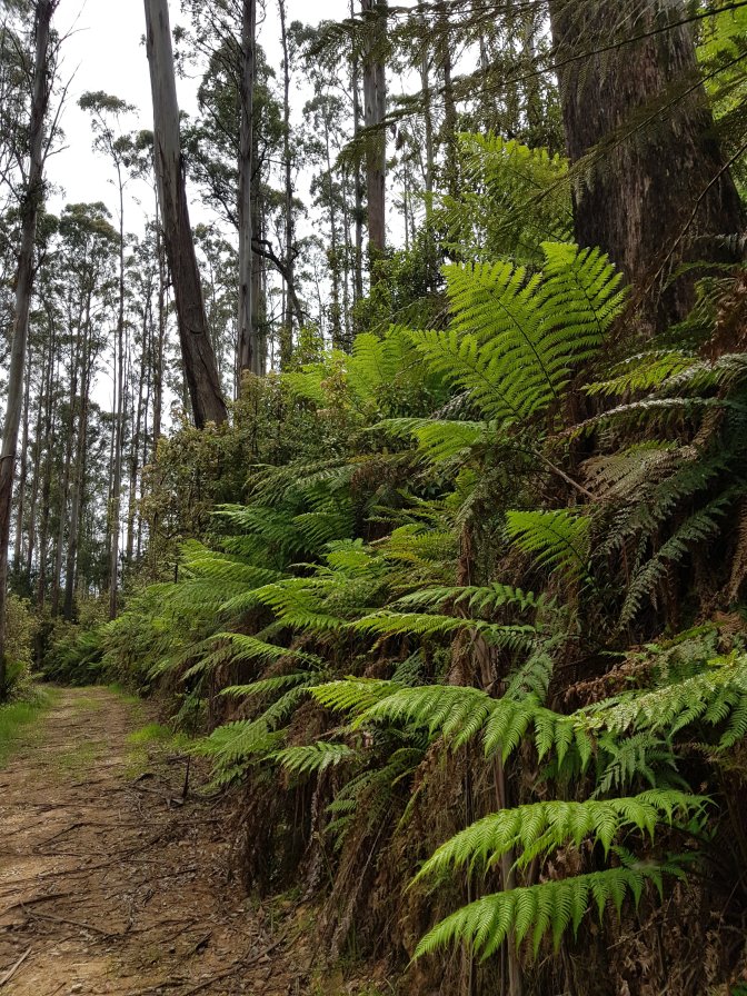
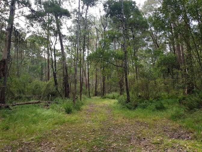
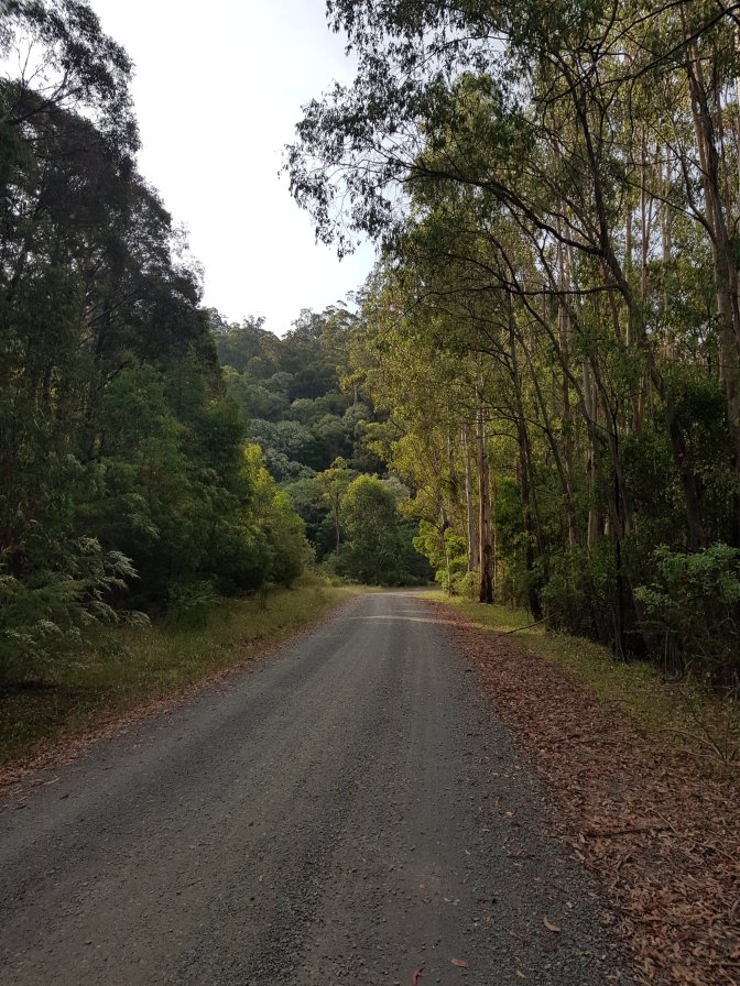
The track was a gentle downhill all the way to Red Jacket, the lowest point before my big climb away from the river. I passed the time singing songs from the equivalent of a delicious, eclectic mixed tape including The Violent Femmes, They Might Be Giants, Pat Benetar (random), The Wonder Stuff, The Cure, Nick Cave, TISM, Jesus Jones, Pink, Missy Higgins, Ratcat, The Lightning Seeds. It was like a little trip back in my music time machine. Along the way I met two trail bikers and stopped for a chat. One mentioned the upcoming off track section of my trail. Apparently they’d tried it recently on their trail bikes and it was overgrown and hard to get through – he suggested I might like to stick to the 4WD track even though it was a bit longer. Recommendation accepted! No need to tell me twice.


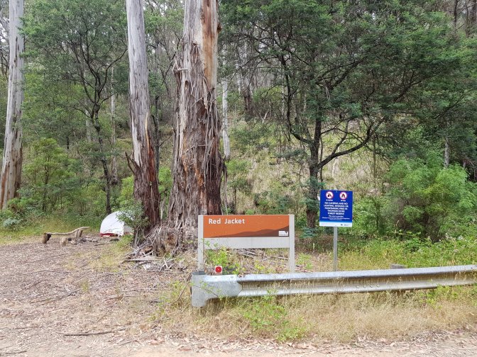
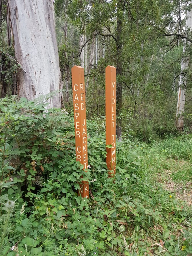
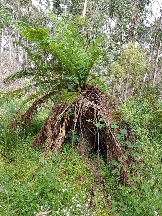
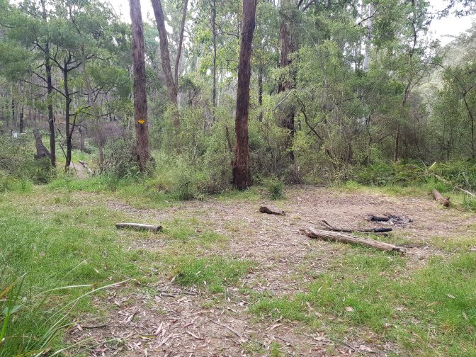
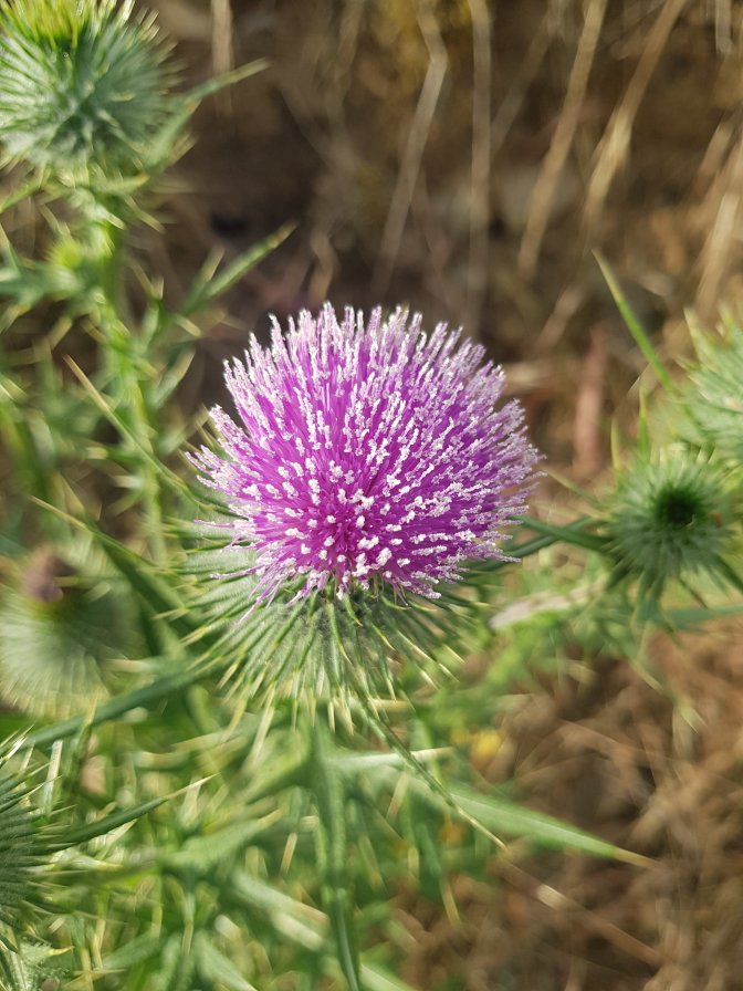
Red Jacket is the site of a former gold rush town. Nothing much there now except a lovely spot for camping you’re not supposed to camp at according to the signs. I met a guy there who was camping for two nights. He’d started a ten day walk yesterday and was doing it tough. He’d been overly ambitious in his planning and now had too far to go with too heavy a pack (30kgs!!). We chatted for awhile about potential stopping spots and water availability (not much) and I left him to it. He was seriously wondering what he was doing and doubting he could keep doing nine more days of it!


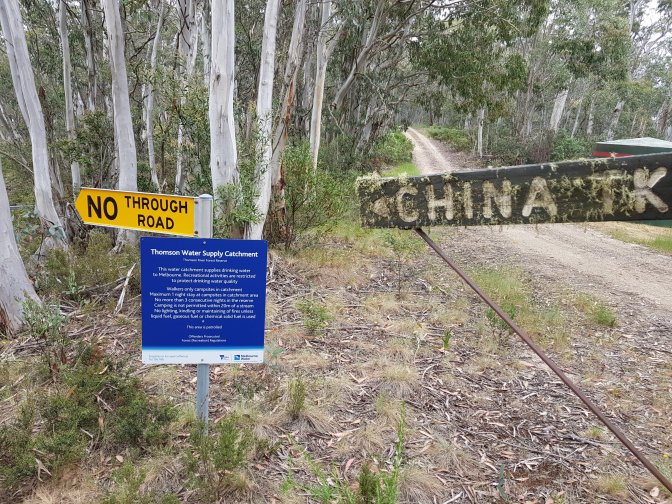
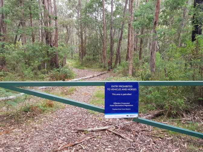
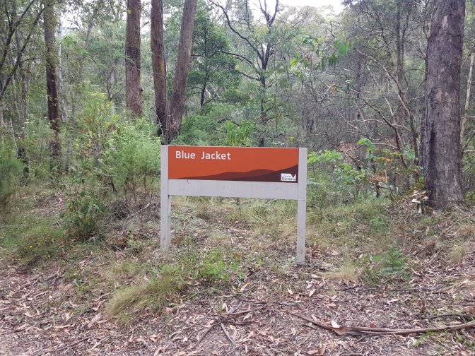
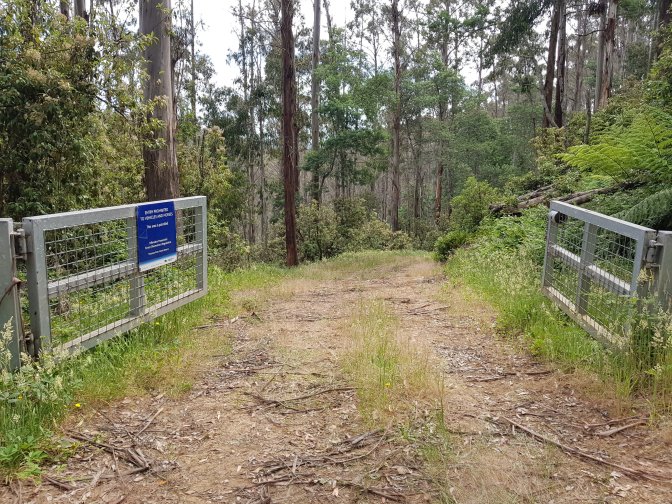
I stopped at Blue Jacket for lunch. It’s one of the few permitted campsites for hikers only, no cars or horses because we’re in a water catchment area. It’s pretty basic and made me very grateful I wasn’t staying there – twenty minutes for lunch was enough.


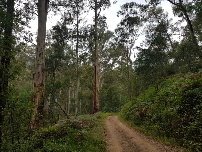
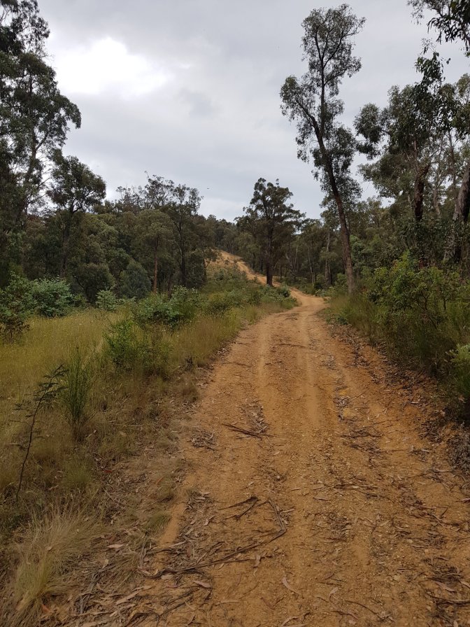
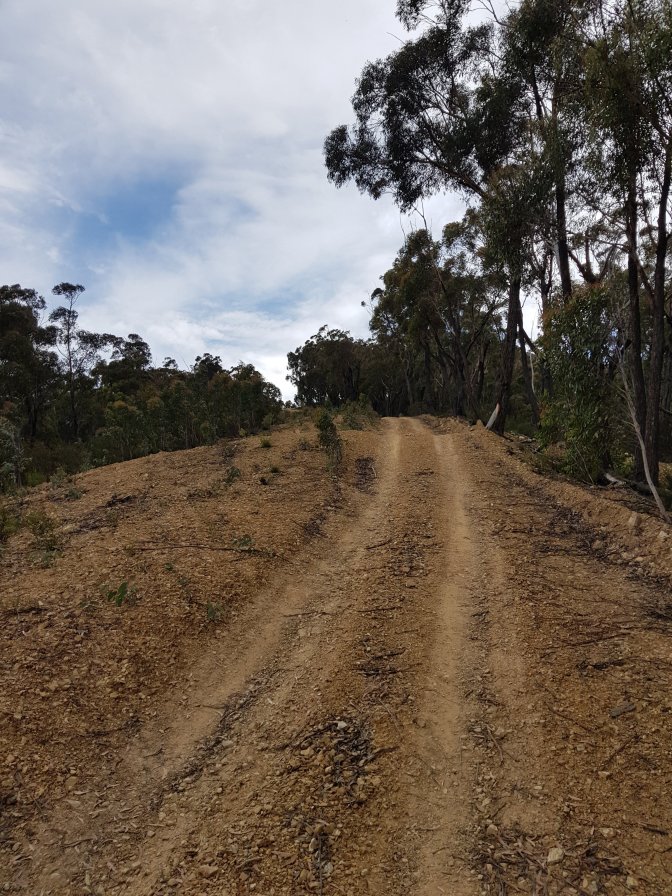
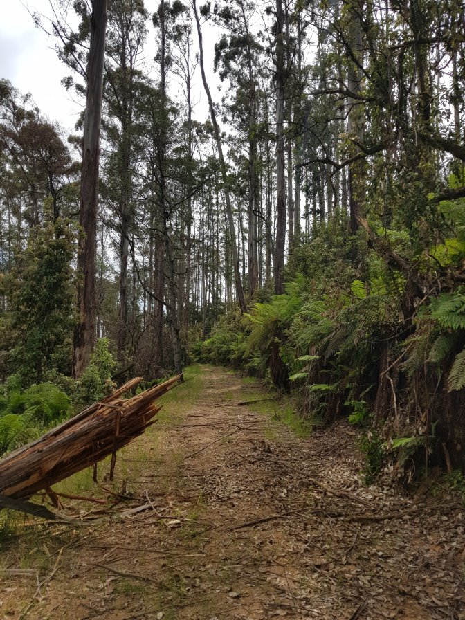
From there my path was a stroll along the track for just long enough to lull me into a false sense of security before I met Casper Creek Track and the climb away from the river. When I was nearing what I thought was the top, three 4WDs passed me heading downhill. A lady in one wound down her window and asked if I was going all the way to the top and gave me a pitying look when I nodded. What, wasn’t I nearly there?!? I noticed after a few more lumbering steps the track continued higher around a bend. Finally after 45 minutes and about 1.5kms I arrived at the top which actually turned out to be the faux top. After levelling out for a brief respite, up it climbed again. To faux top the sequel. And up again. I really understood at that point the 4WD lady’s look when she asked if I was going to the top!


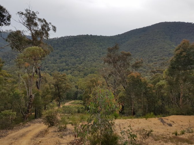

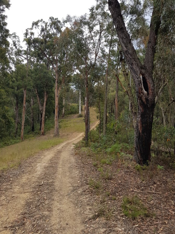
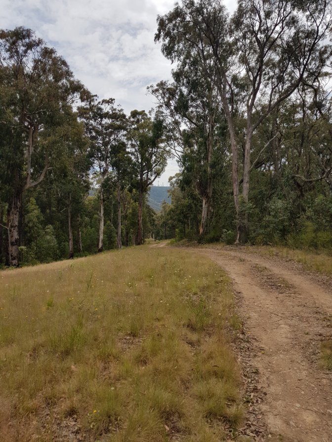

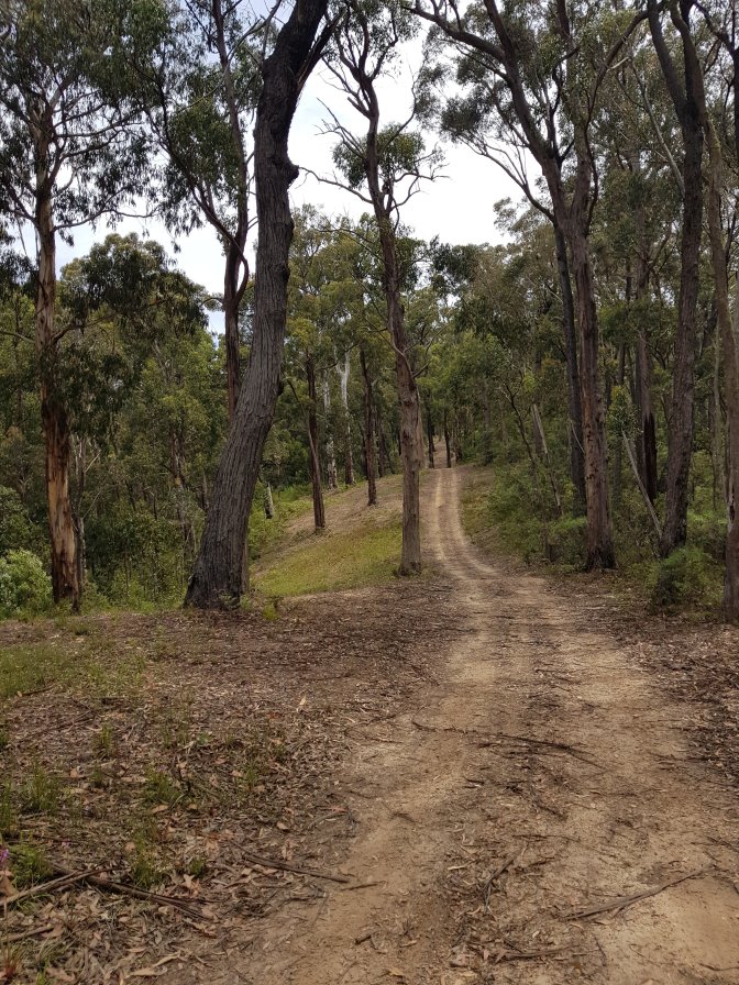
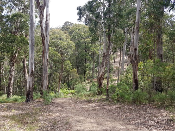
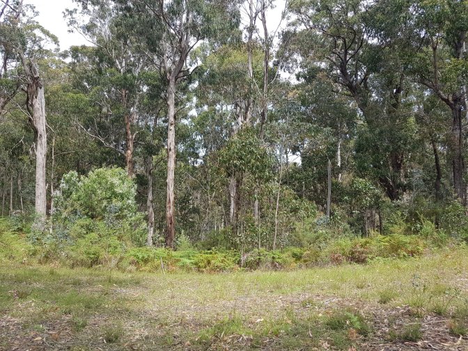
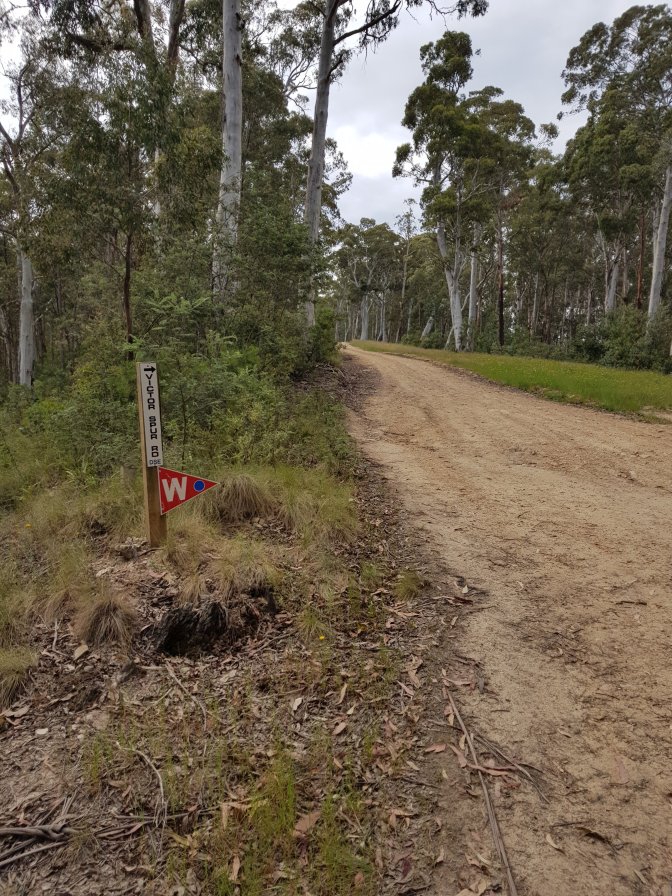
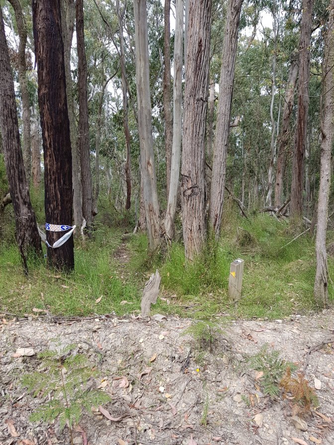
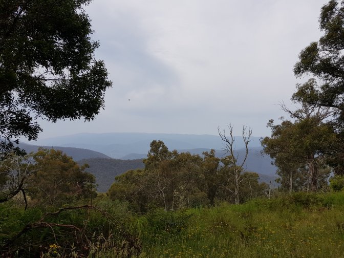
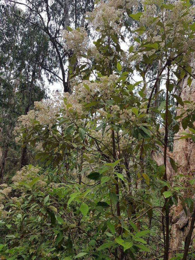
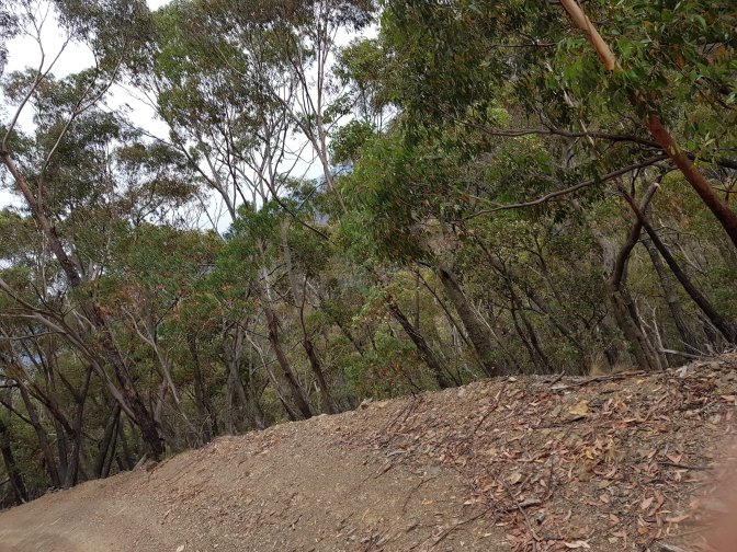
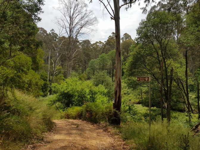
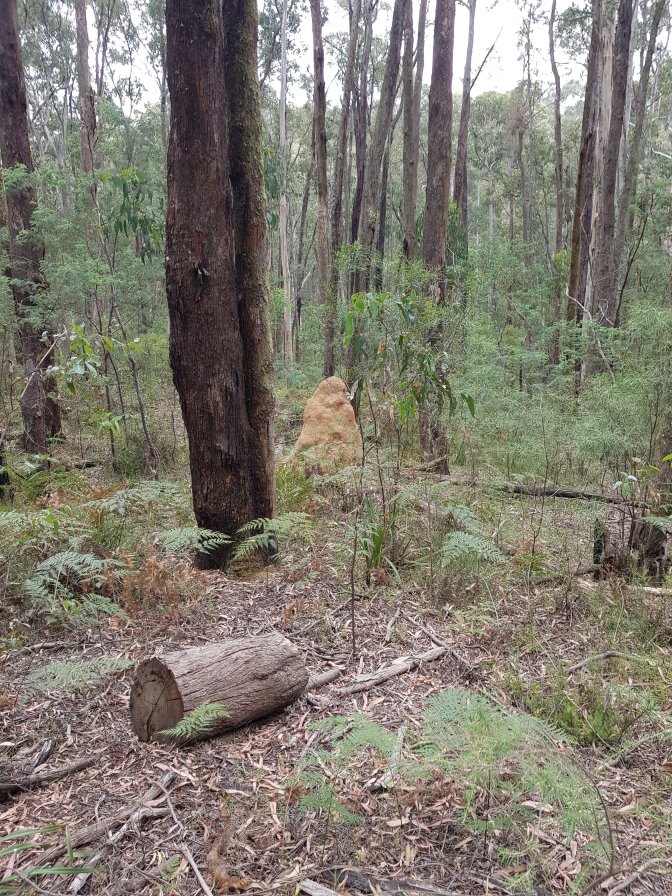
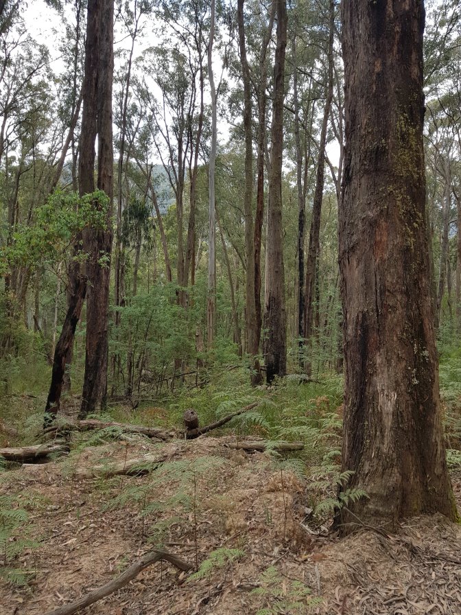
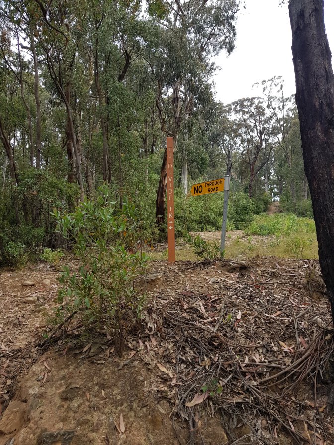
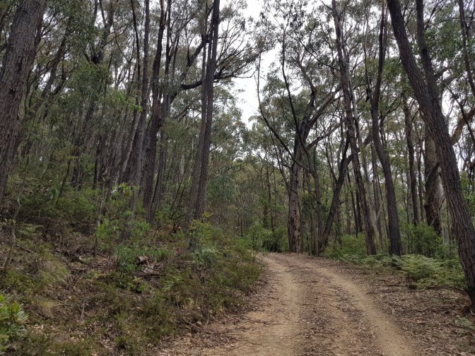
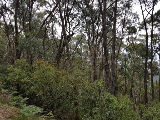
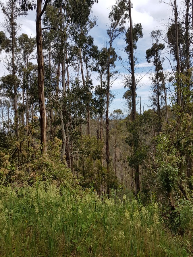
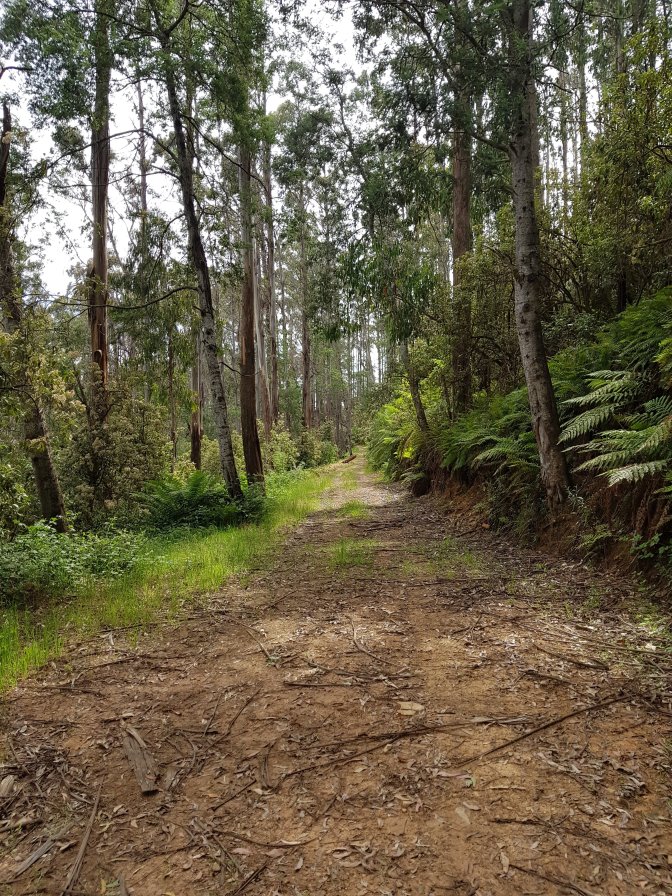
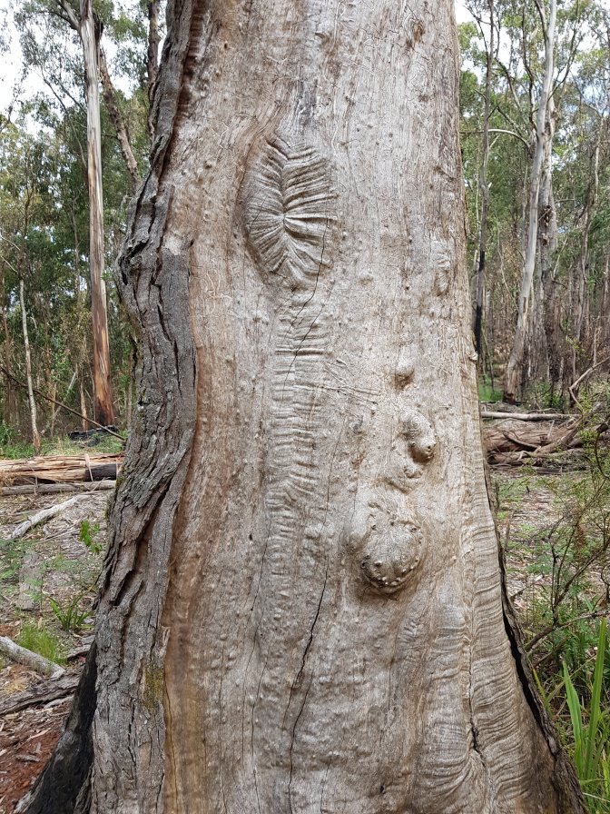
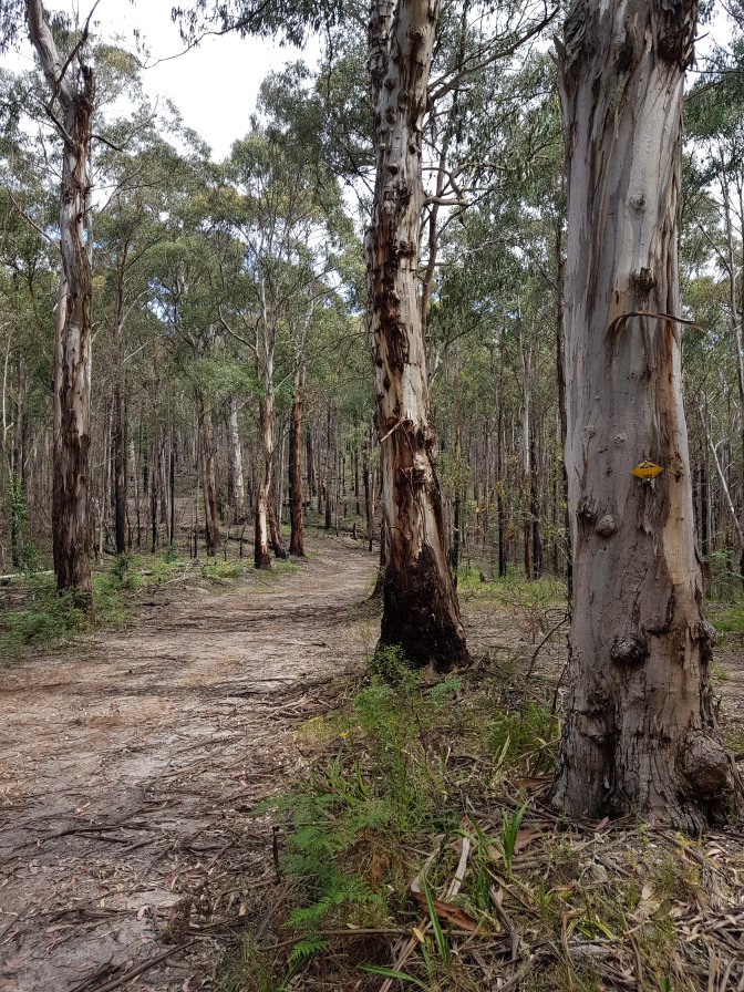
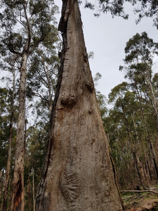
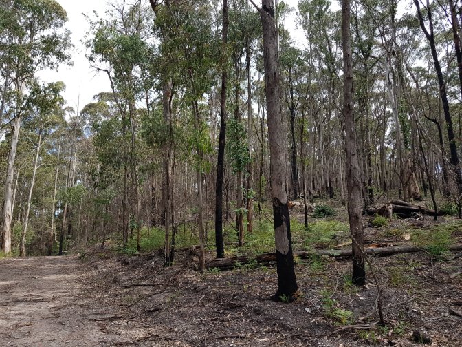
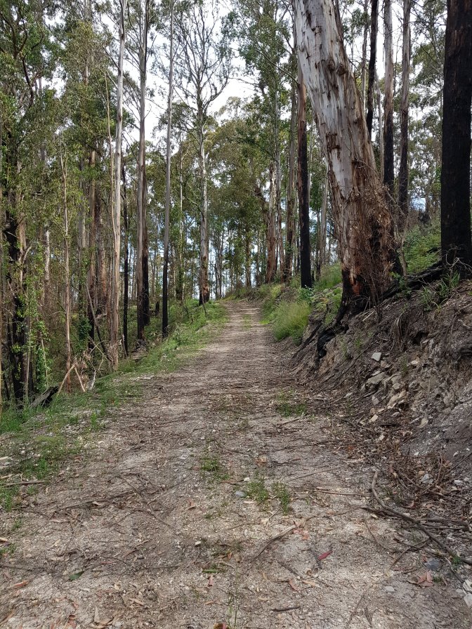
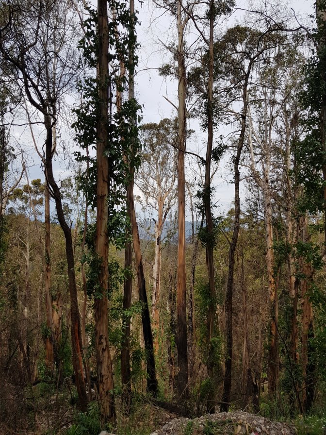
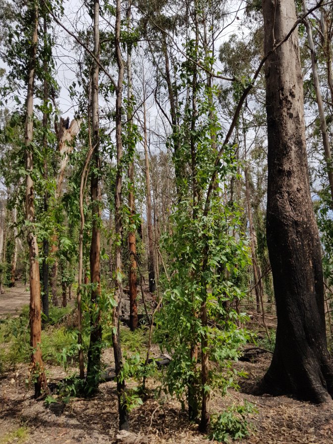
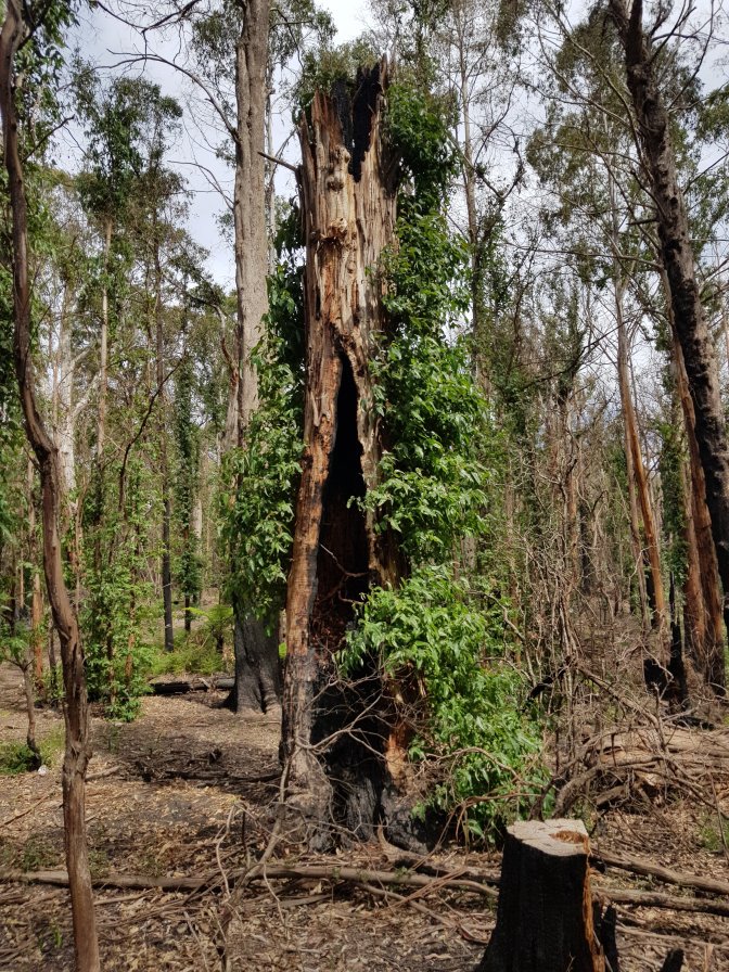
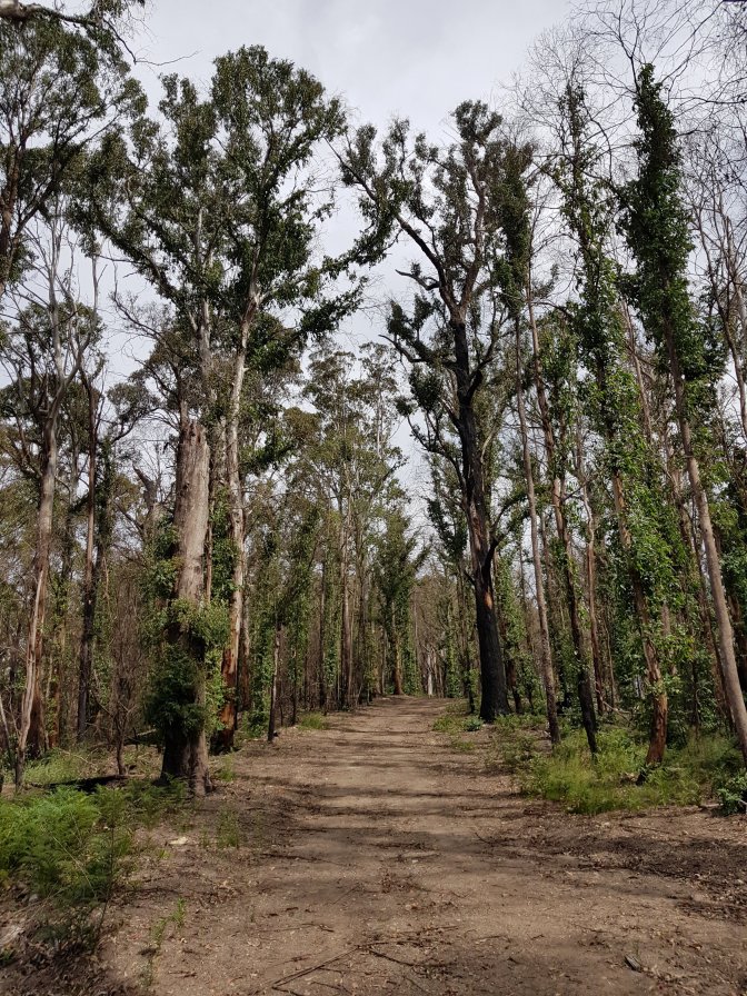
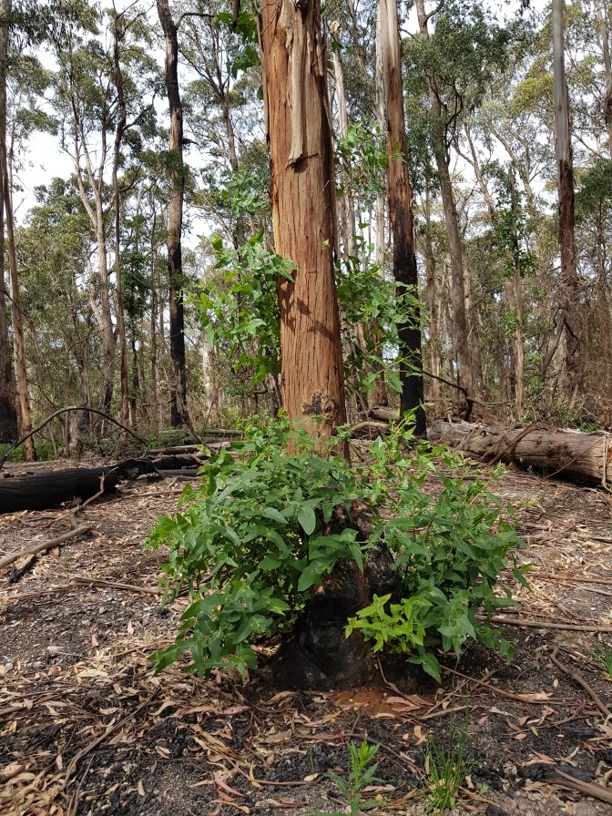
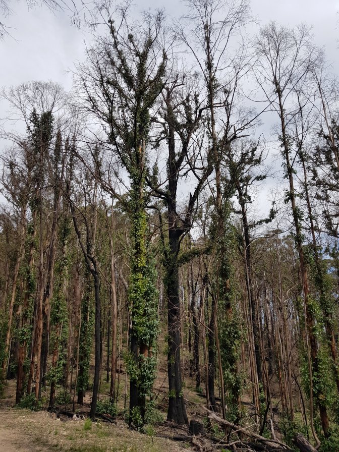
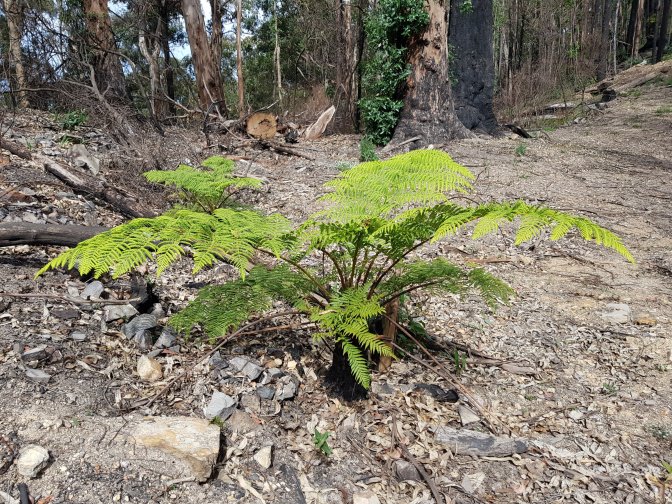
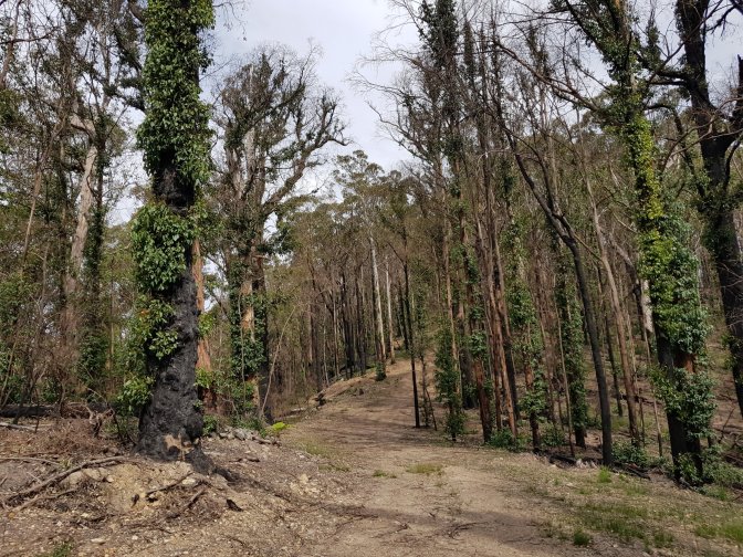
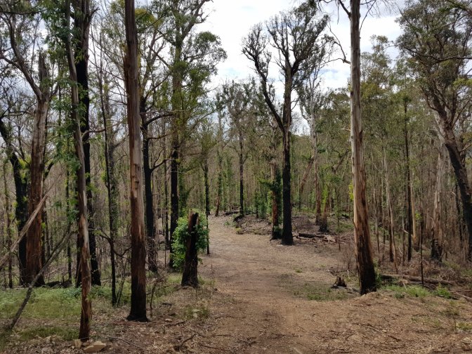
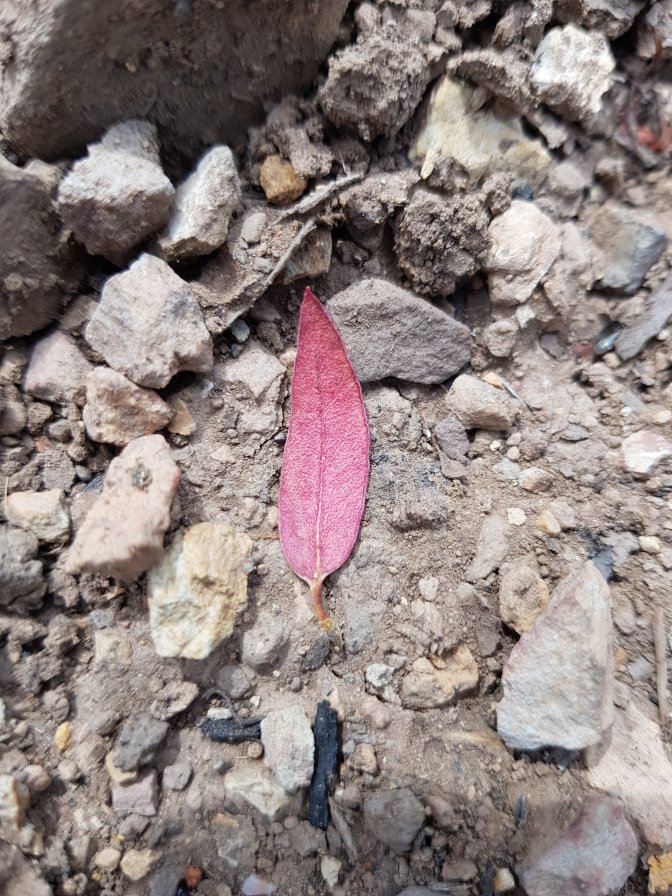
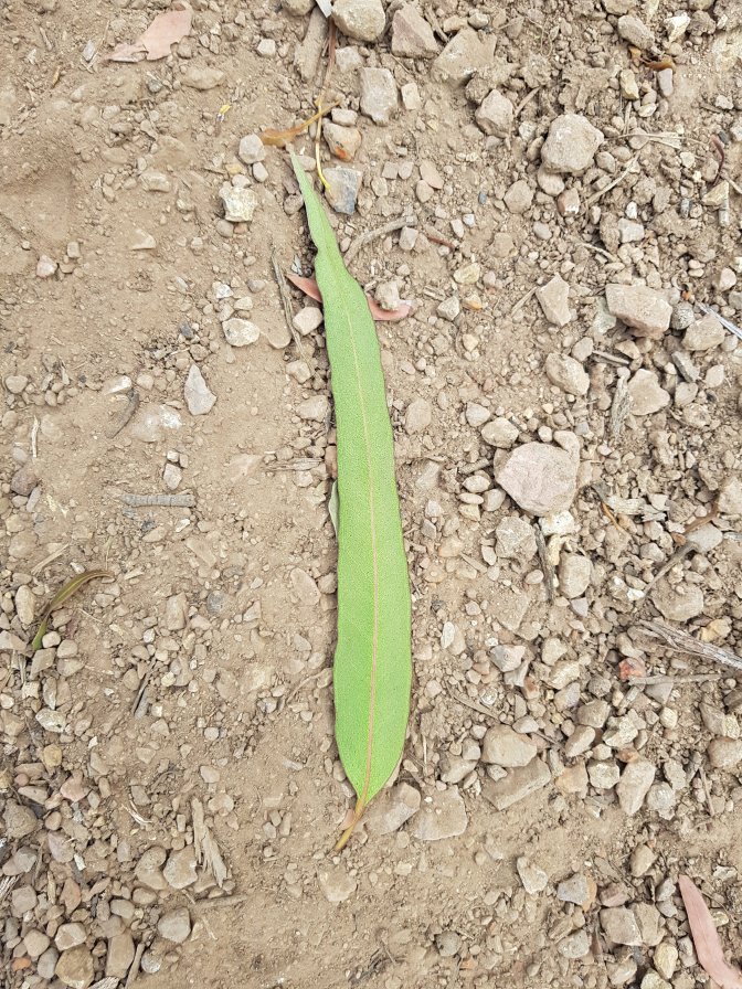
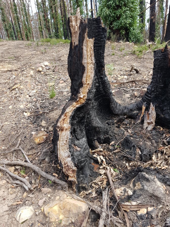
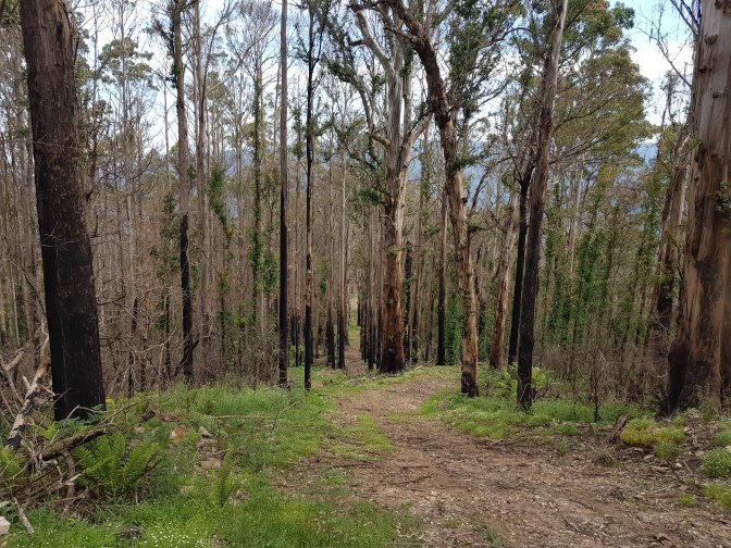
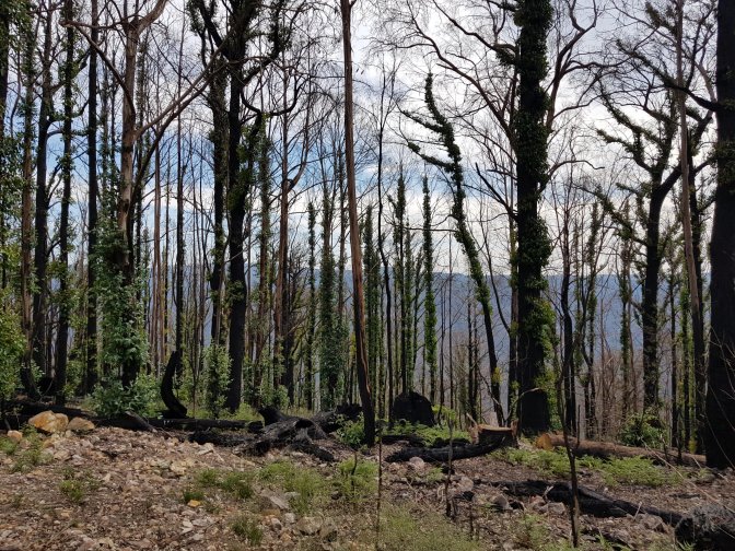
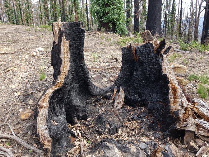
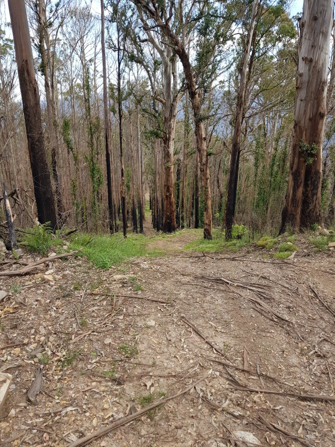
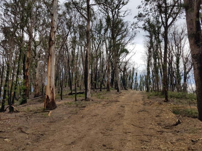
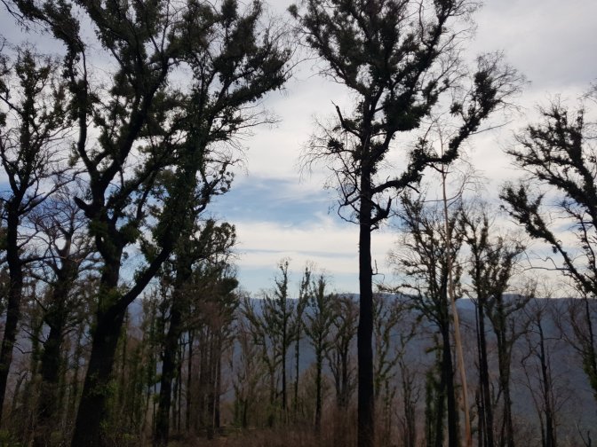
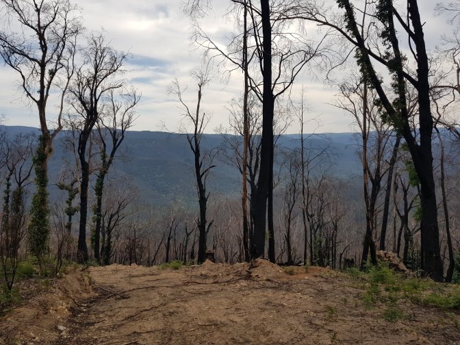
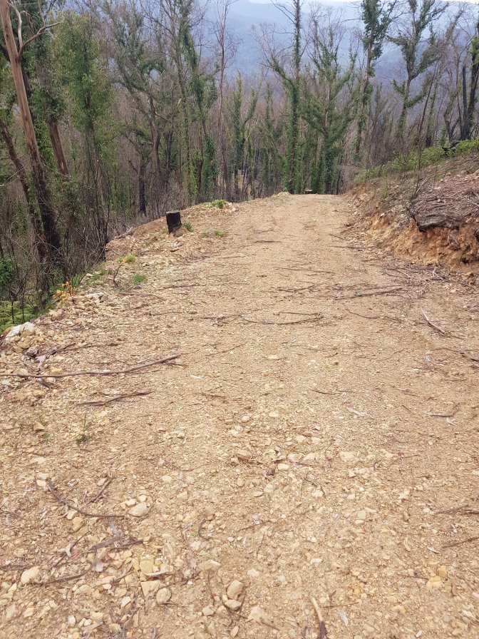
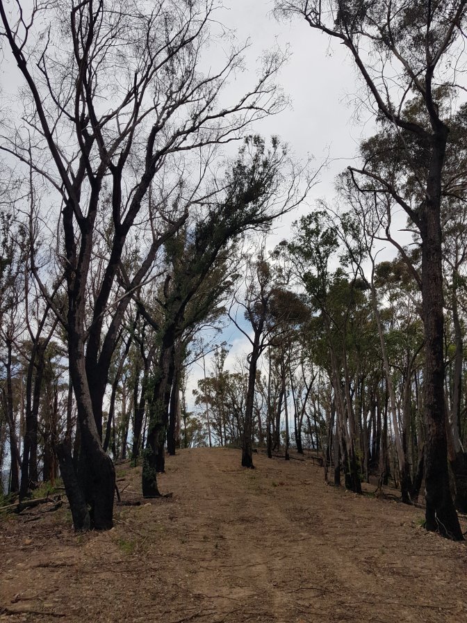
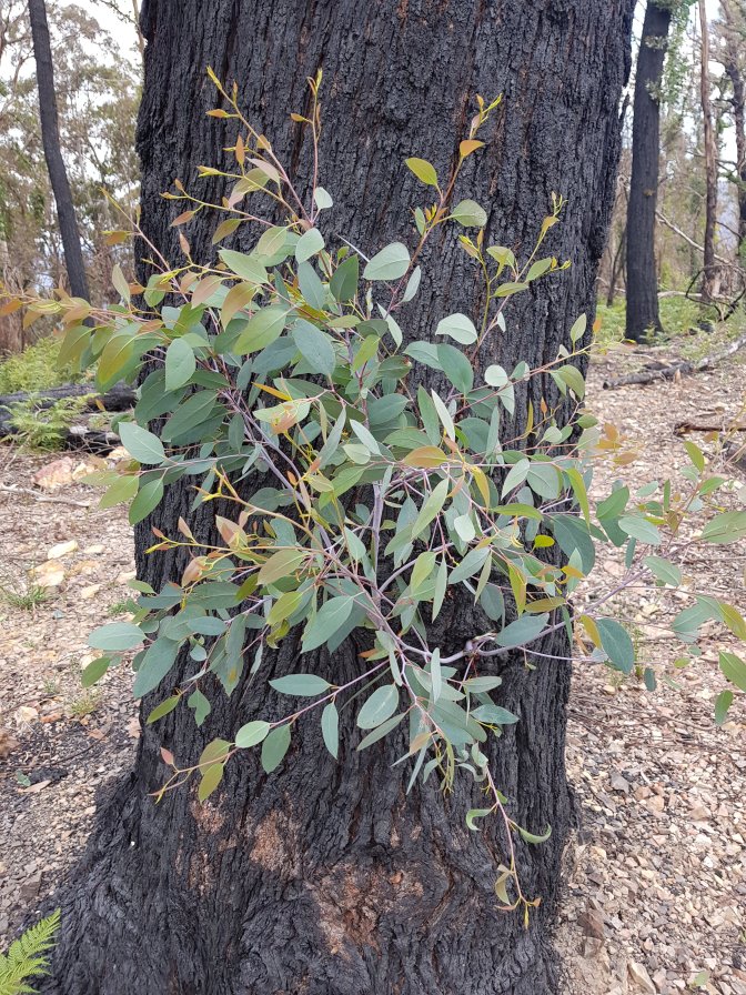
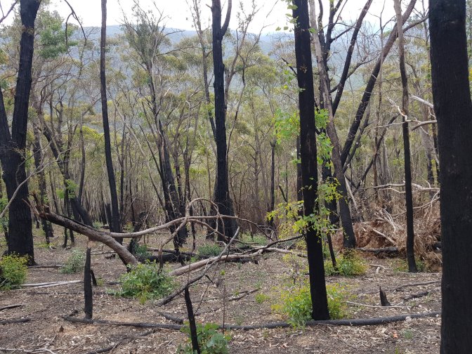
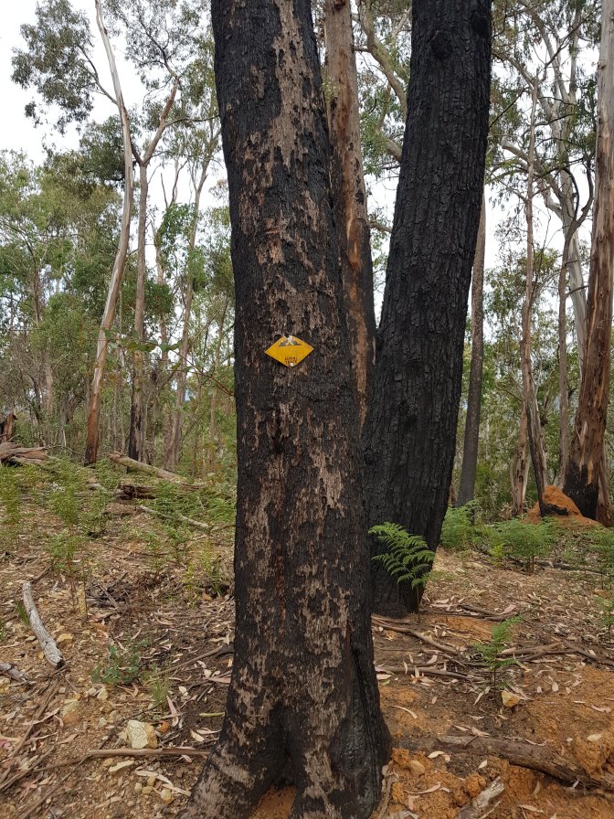
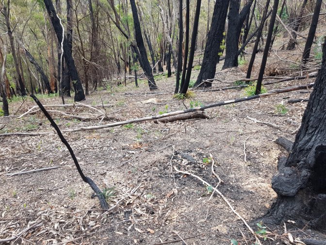
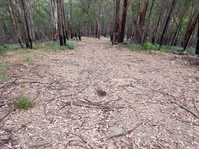
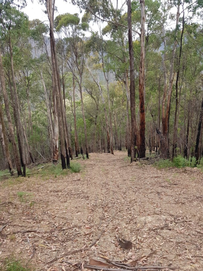
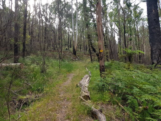
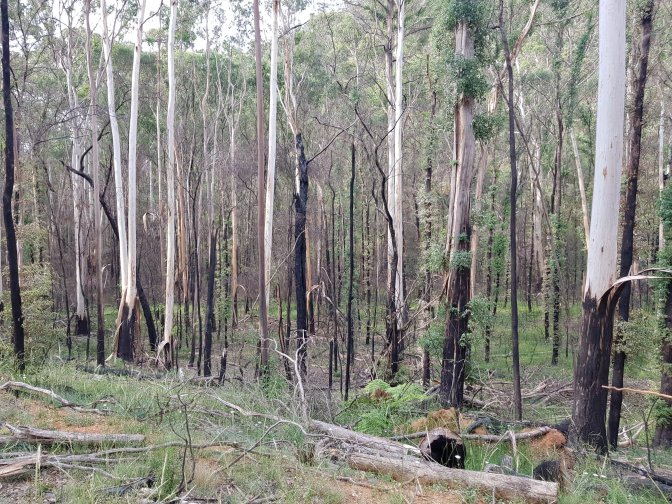
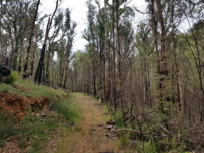
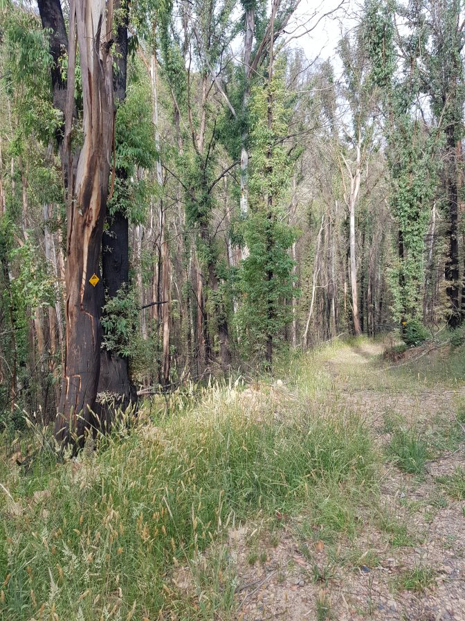
The track wound around a hill to arrive at the junction of my next track, a management trail. This was up to Mt Easton and the part I’d been worried about for navigation. Turns out, it was absolutely beautiful and no problem to get through. Fire had been through the area relatively recently. There was no undergrowth and the most of the trees were burnt but not dead. Their bases had been burnt but their leaves were still alive way up high and they were all sprouting huge amounts of bright green regrowth. I’ve no idea where the official path might once have been, but the path I took was along the management trail which climbed to the top of Mt Easton and just below the summit of Little Easton.


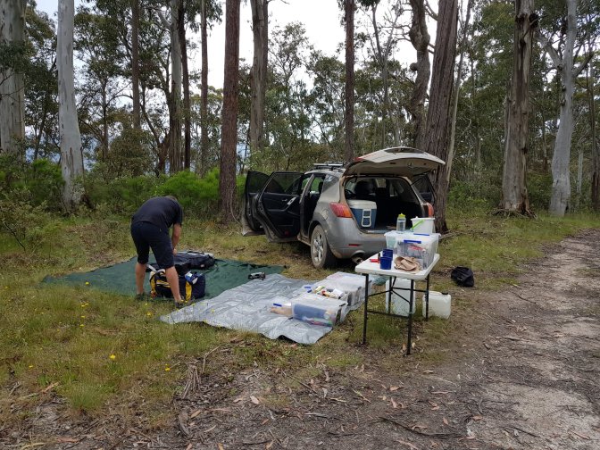
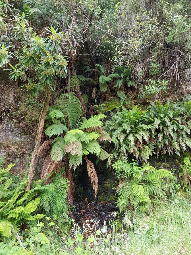
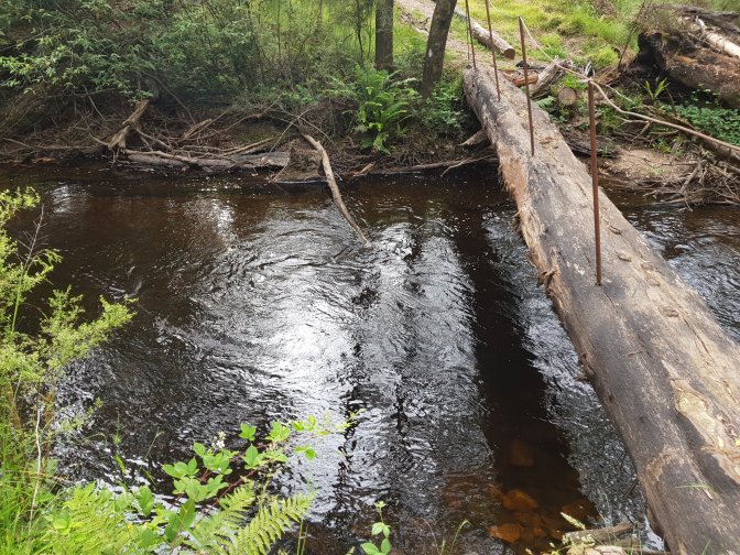
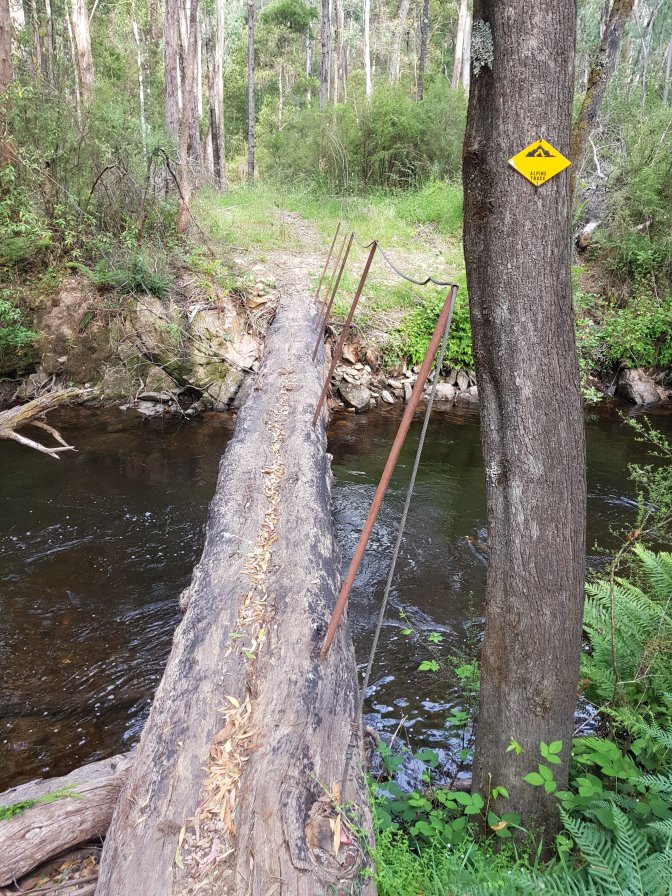
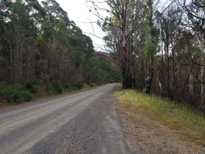
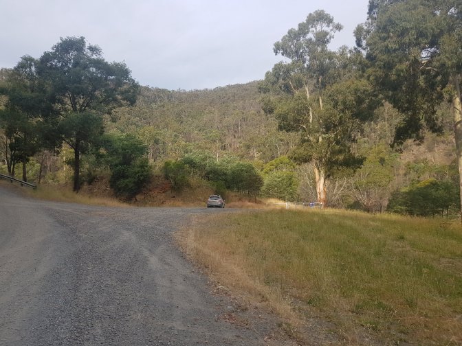
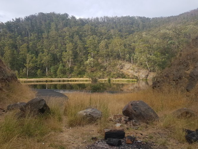
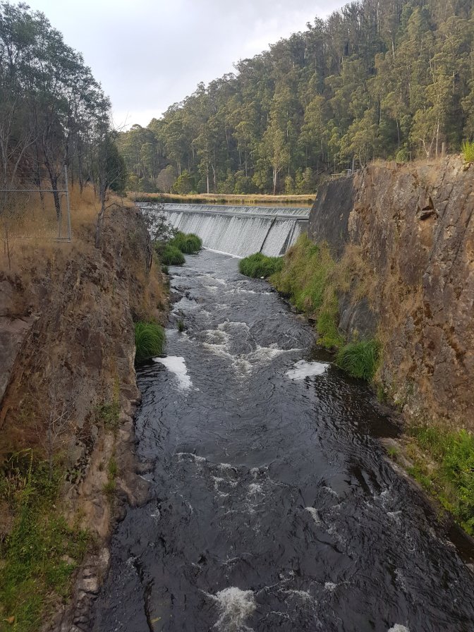
From there the track descended all the way to Thomson River. I’d been concerned about this crossing. The book said the log crossing was no longer there. Turns out, the original one had been destroyed – you could see it half under water – but another sturdy one was in its place complete with chain. Wow, the water must get high at times. I realised before the descent that I’d mapped the trail incorrectly on the app Jub and I are using. I had our meeting point upstream about 1km. I hadn’t heard from Jubble all day and had no way of communicating with him. I assumed he’d been out of coverage. He wasn’t at the point my track joined the road, so I hiked up the road to the point I’d mapped on our app at Easton Dam. There was the Jubbie-mobile, but no Jubbie. I left my fly swoosher under his windscreen wiper so he’d know I’d been there if he came back and I went off looking. I crossed a bridge across the river just below the dam and was looking around when I heard him calling. He was sitting on a camp chair near the dam wall with a perfect view of the bridge which I should have crossed according to our app.


Tomorrow is a short day (12kms) and there is supposed to be no camping in this area except for hikers because it’s a water catchment area. So we decided to drive to Marysville for the night. We had dinner in a pub and slept in a proper hotel with a big bathroom with a shower with great water pressure and a king size bed – heaven!
