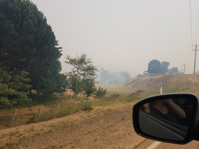
We woke up to big fires in the area. The Great Alpine Road we’d driven along yesterday was closed between Bruthen (our lunch destination yesterday) and Ensay. Towns we’d driven through were being evacuated to Omeo.
Seemed like a very good time to change plans and get out of the area. I was supposed to have two day’s walk to get to a point where the AAWT is currently closed due to fire (the fire is out but the clean up crews are working in there making it safe). We decided to skip those two days (making it a total of four days I’ll miss) and head towards Hotham instead. Lucky us, we can just drive away.
The silver lining of missing some of the trail is the profile of one of those day’s walks!

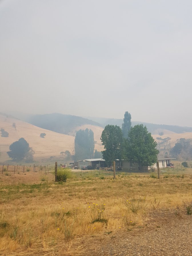
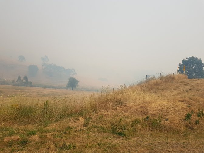
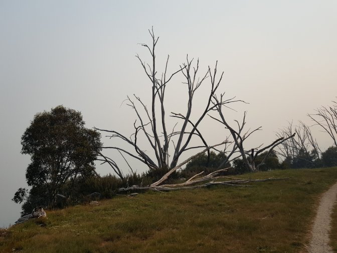
This morning Omeo was the busiest we’ve seen it. Lots of cars and people, RFS, police, Salvation Army. The power is out (powerlines have burnt down), Optus coverage is out, the smoke is thick and the smell of fire is the strongest we’ve smelt. It was pretty eerie driving along familiar roads but with very restricted visibility.

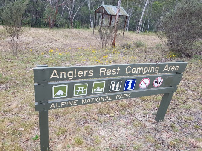
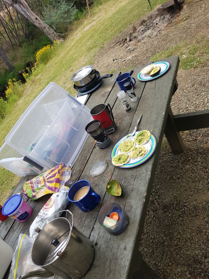
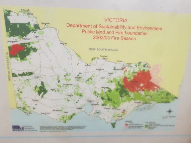
We stopped for a late breakfast of avocado on corn thins and a cups of tea at a little camping area at Anglers Rest. One of the information boards helped put into perspective the magnitude of the 2003 bushfires. Apparently 2m hectares were burnt, 1.2m of those in Victoria.
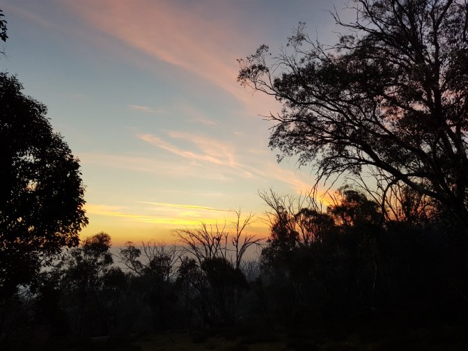
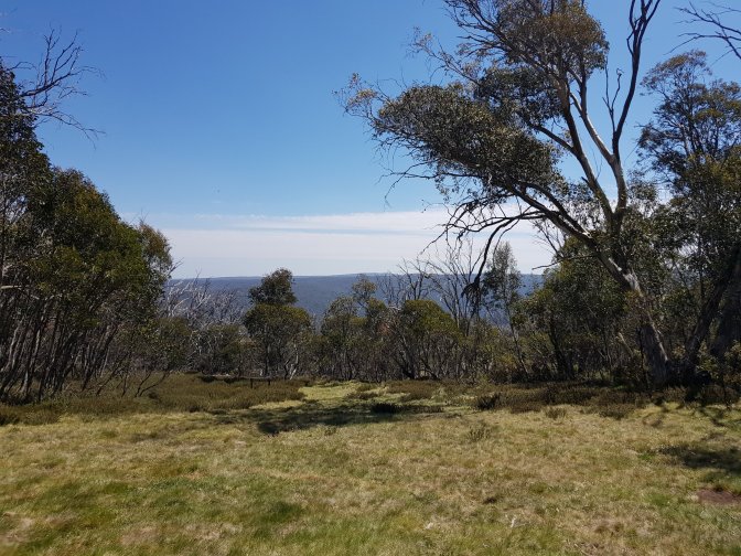
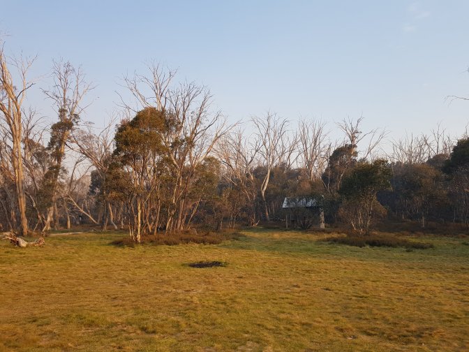
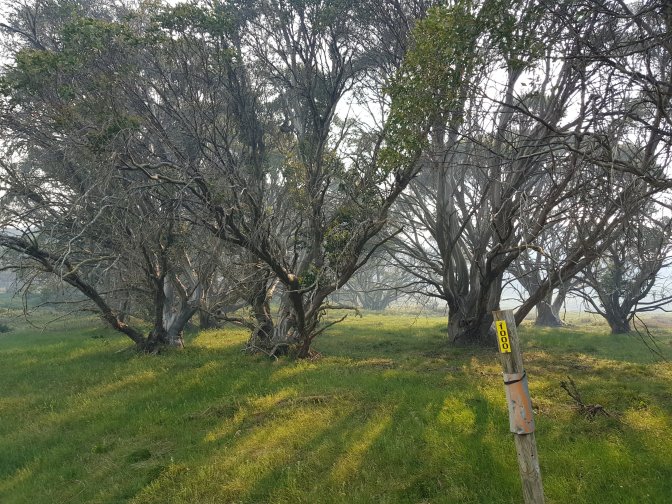
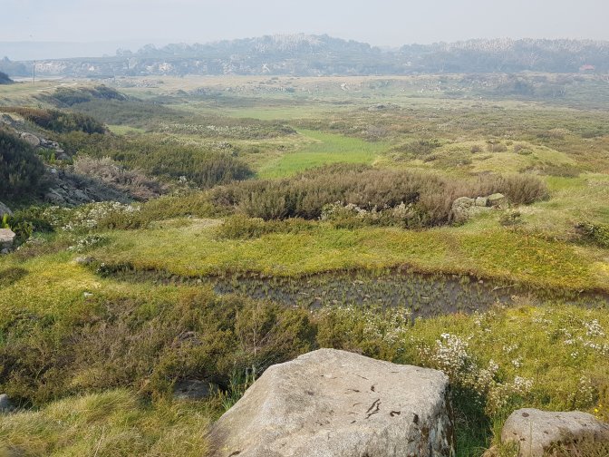
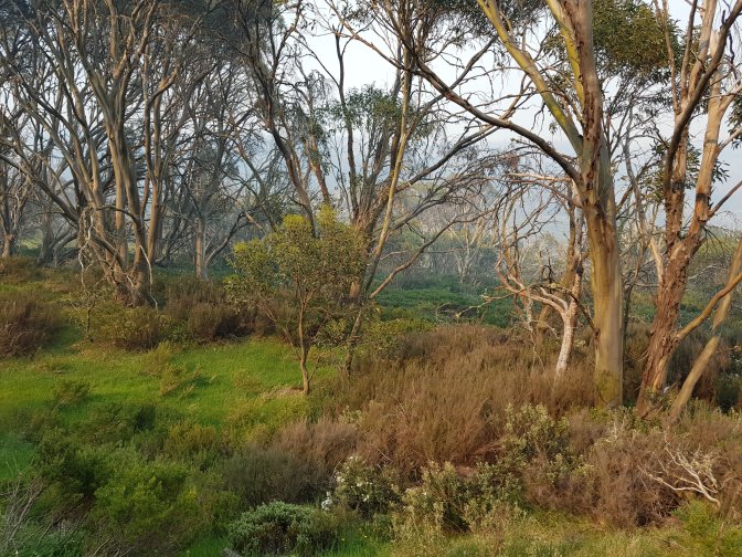
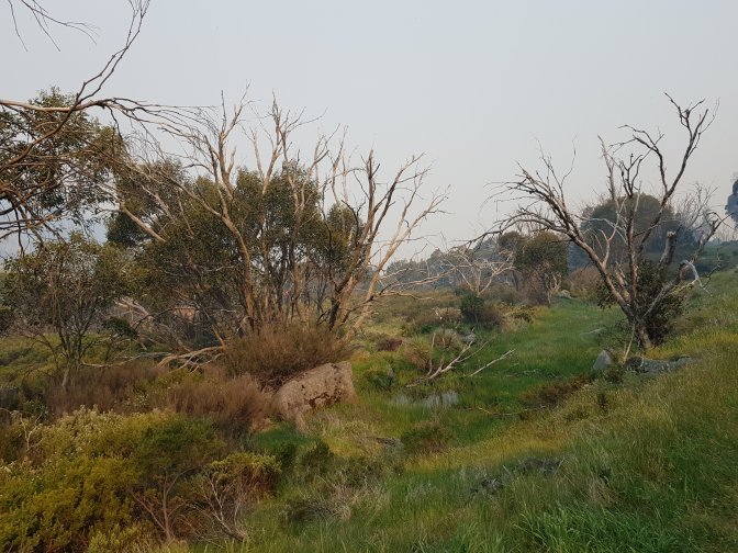
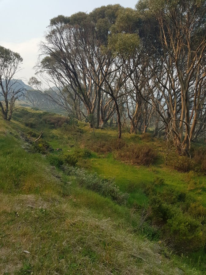
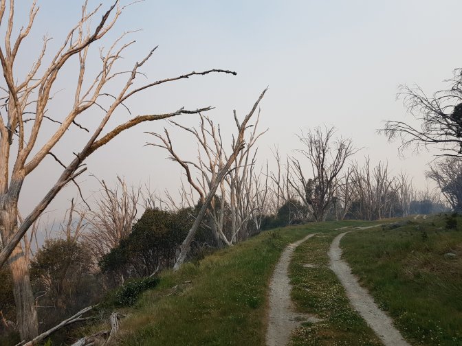
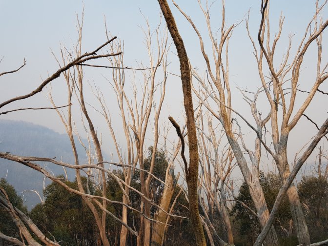
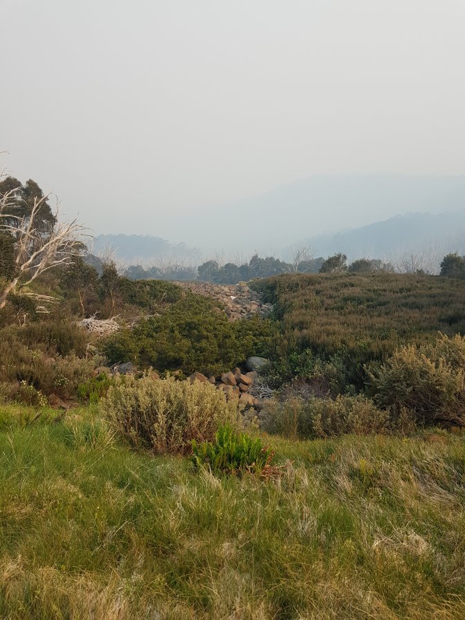
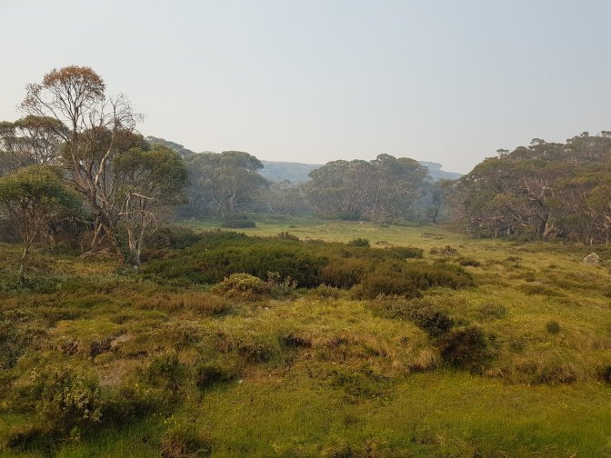
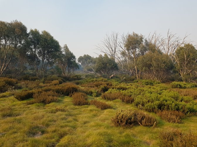
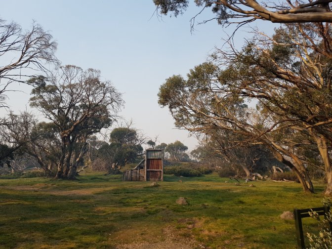
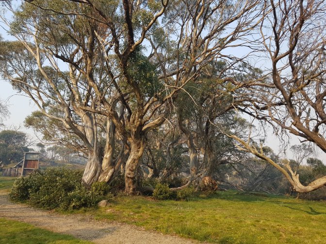
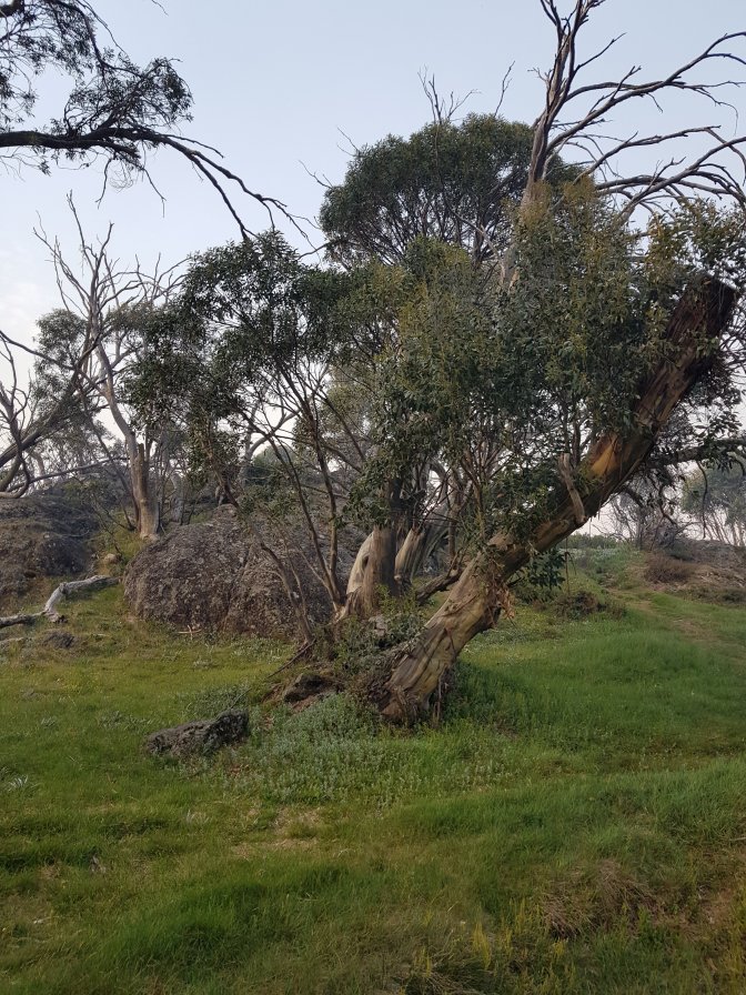
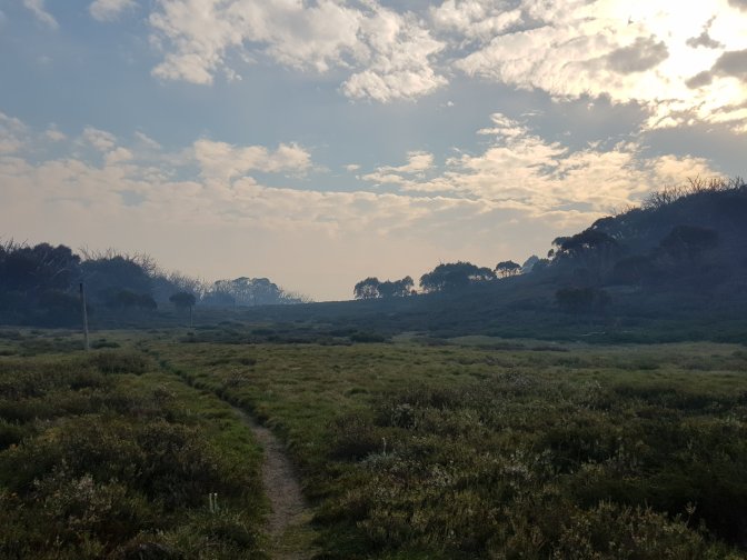
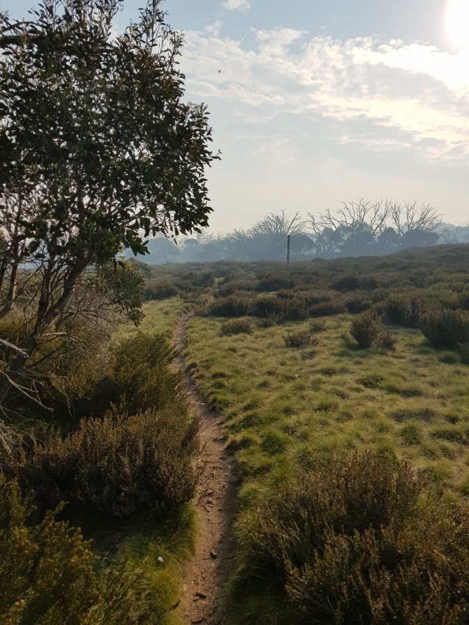
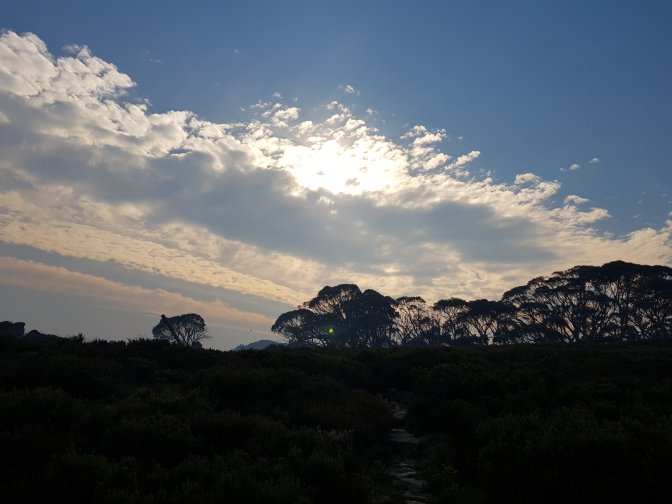
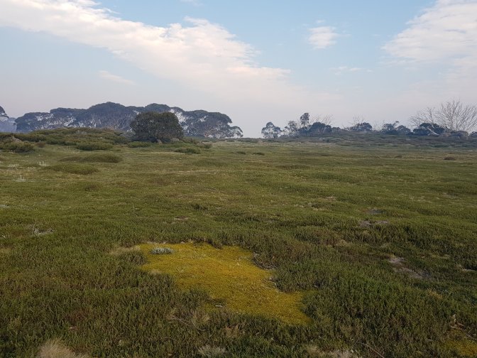
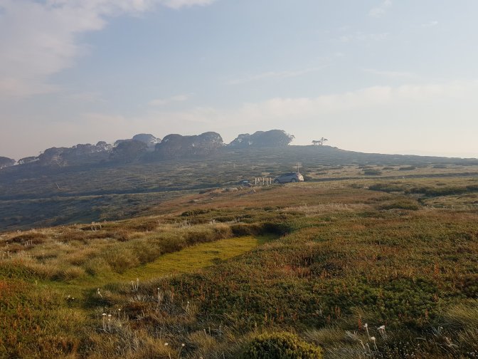
And just like that, after less than two hours drive, we’re at the next section of my walk, the one that would have taken me four big days to walk to! We’re back in the high country and it’s really beautiful.

We stopped at Falls Creek for a pretty sub standard lunch. That helped us decide to camp tonight instead of staying in accommodation – we eat more healthy food when Chef Jublé is at the helm.
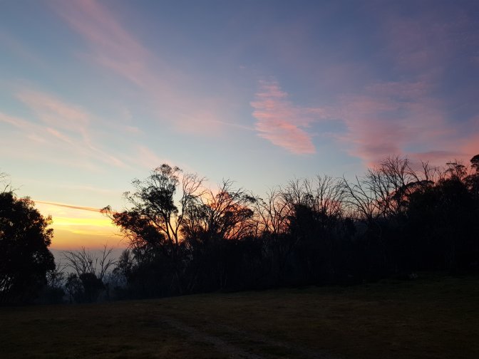
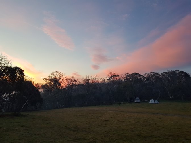
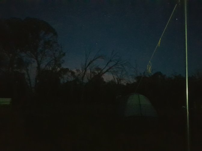
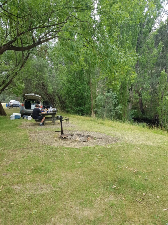
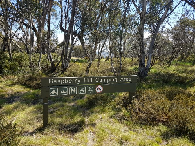
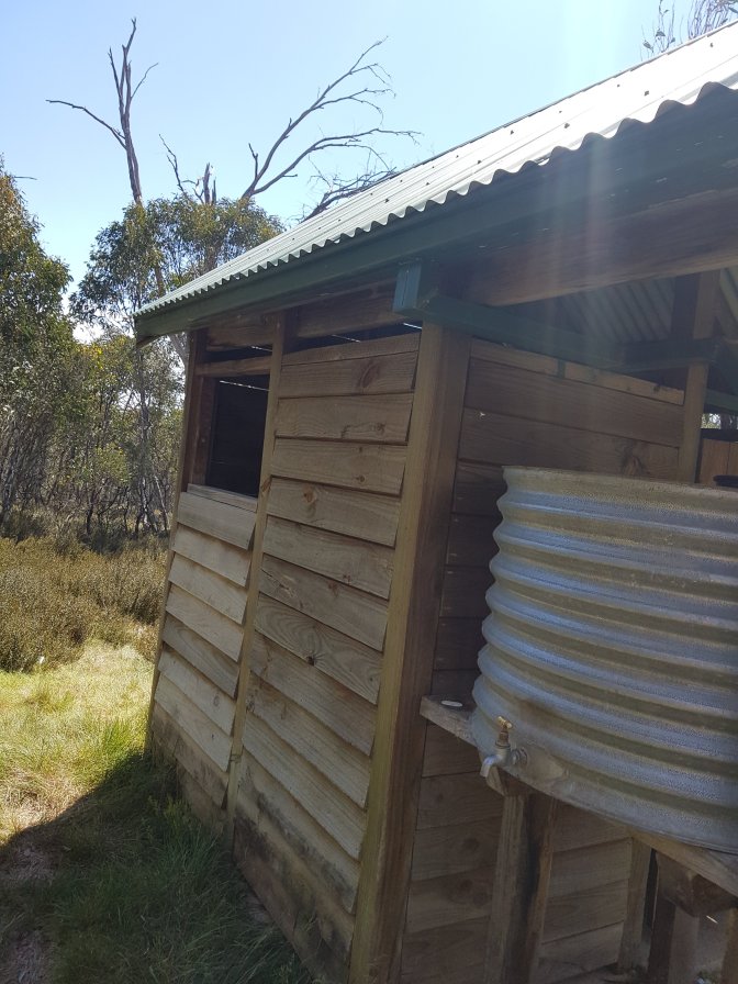
We found a lovely campsite called Raspberry Hill not too far from my walk.


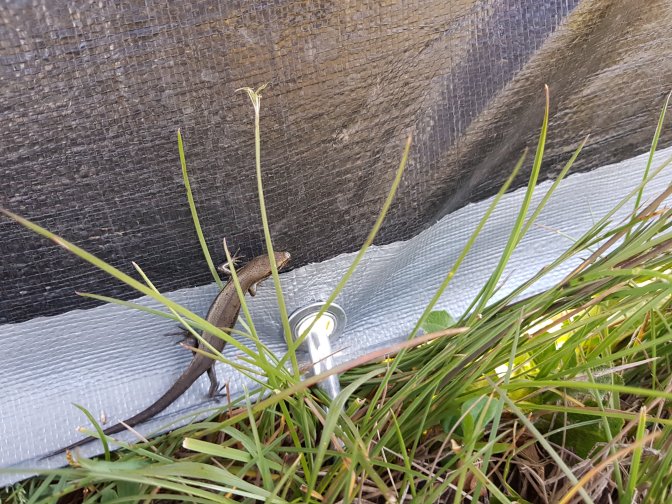
Not long after Jub had set up the tarp, a curious skink came across the grass to check it out. I’ve observed that a few times on this trip. Skinks regularly move in for a look once you’ve sat down somewhere.
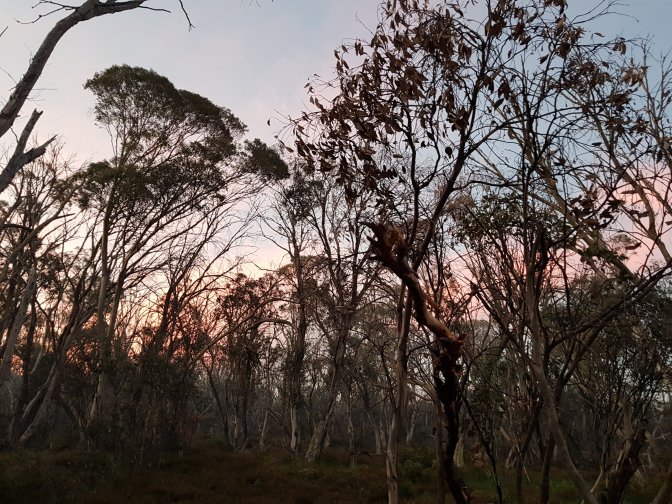
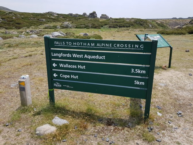
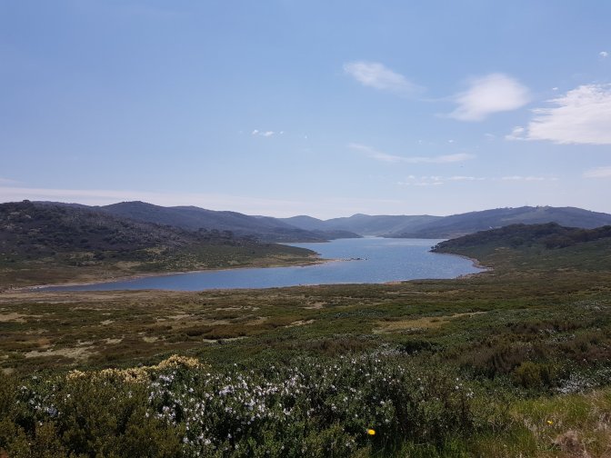
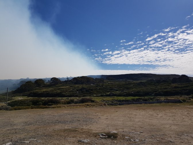
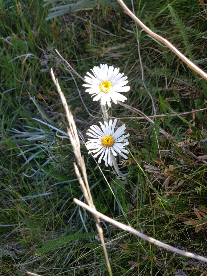
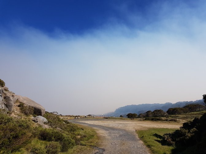
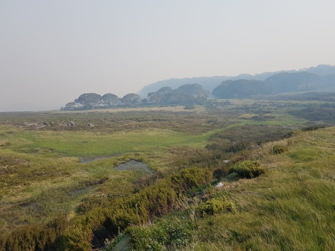
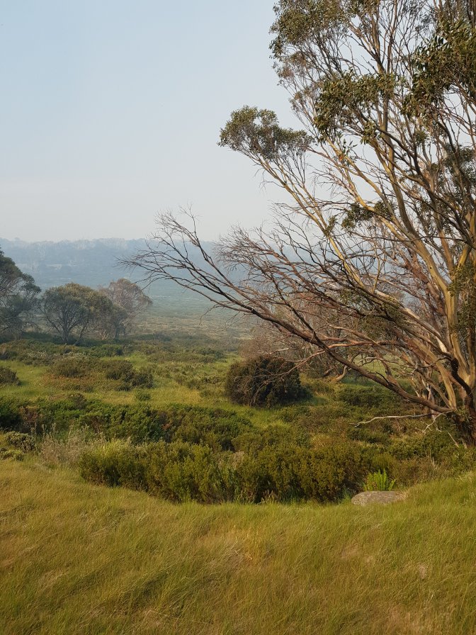
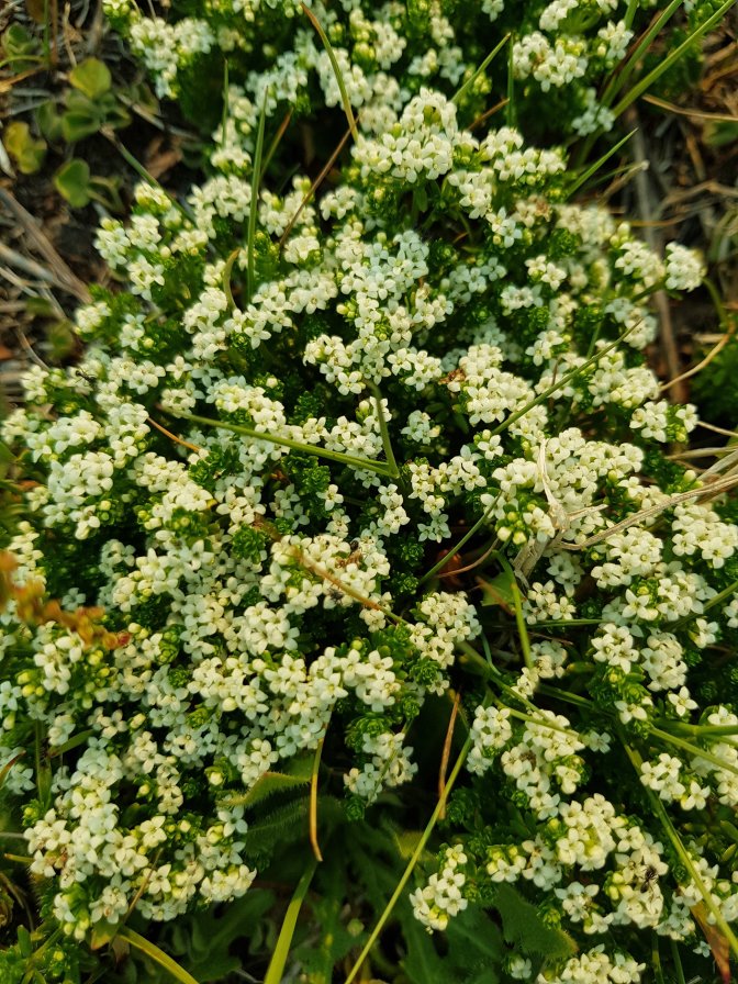
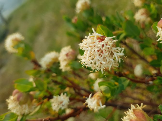
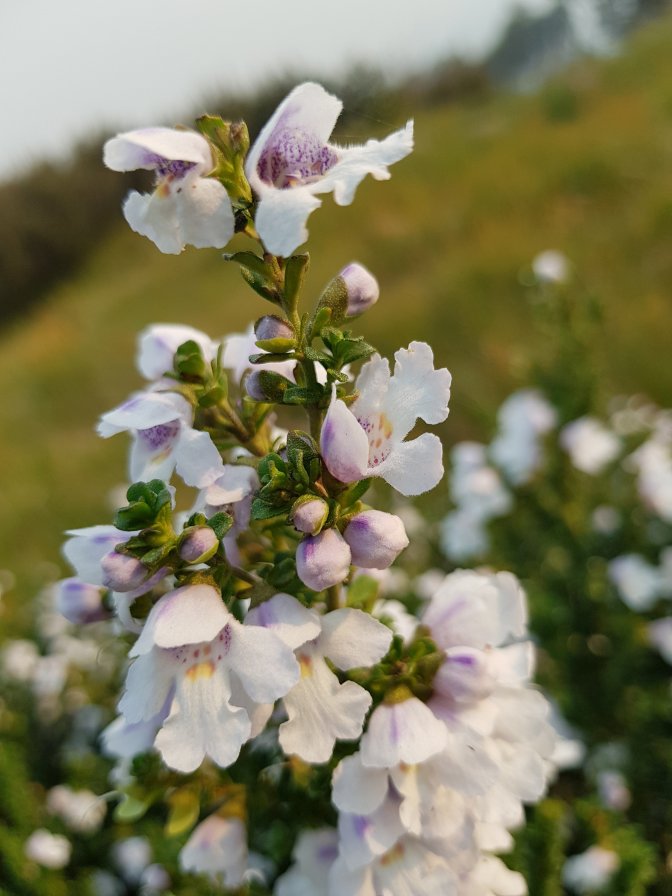
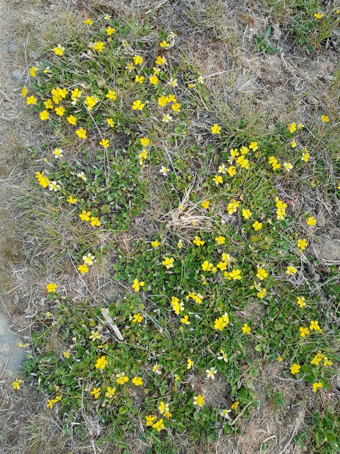
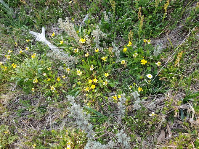
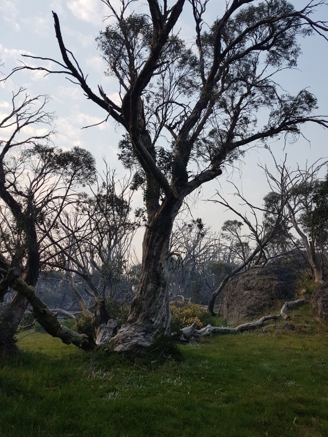
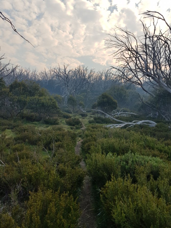
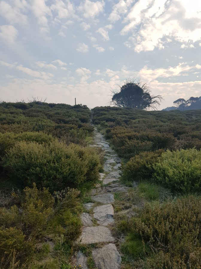
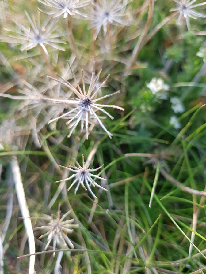
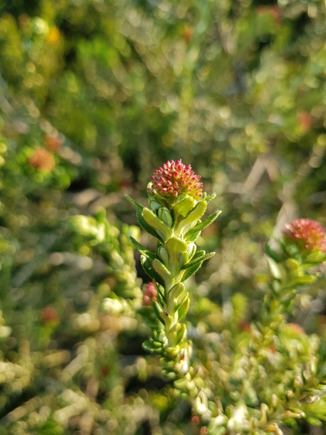
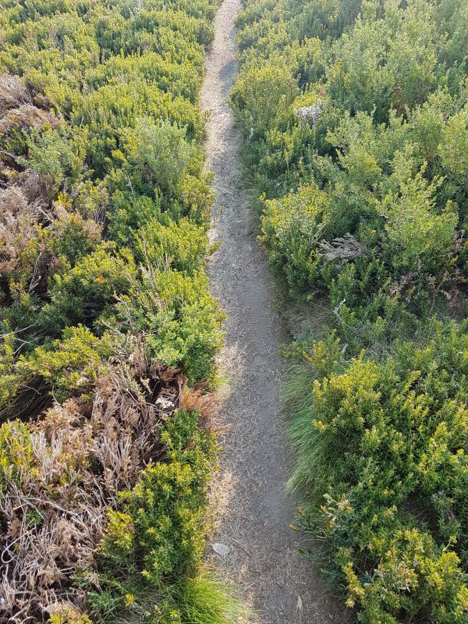
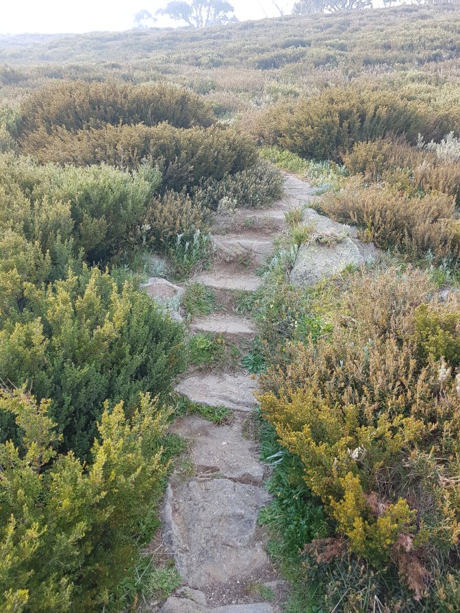
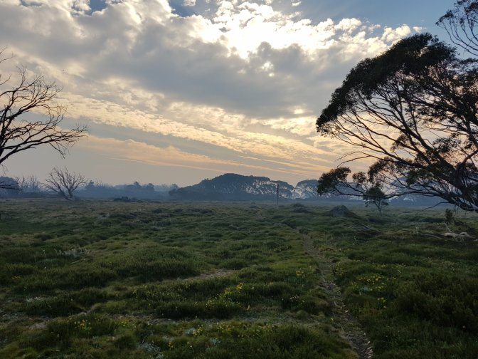
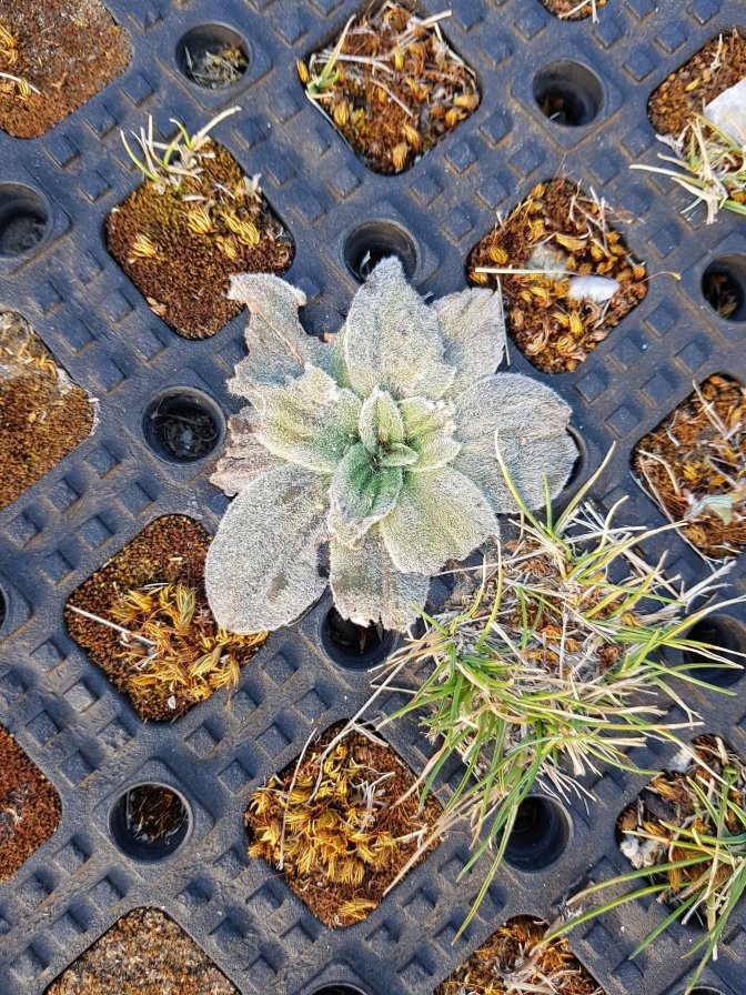
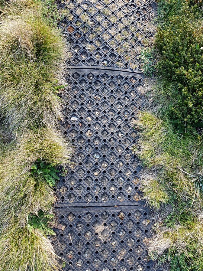
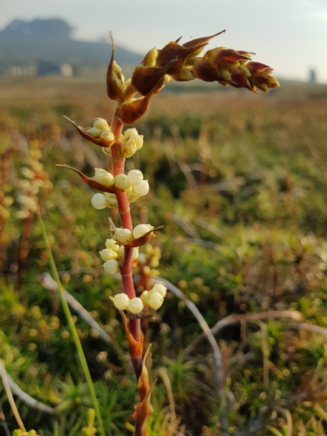
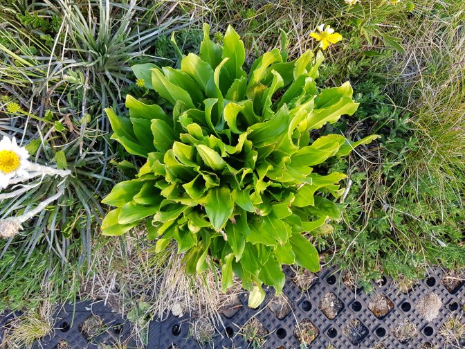
I realised that from the start of my walk tomorrow, the trail crosses over Bogong High Plains Road (the road we’re on) after about 5km. So I decided to head off and do that section today, reducing tomorrow’s 27km down to a more respectable 22km. Just before we headed off from the campsite, smoke came through the area. The app confirmed there were no fires in our area, it was from the one we’d left behind near Omeo. So I set off on my walk. Oh so stunning! How many photos are too many?
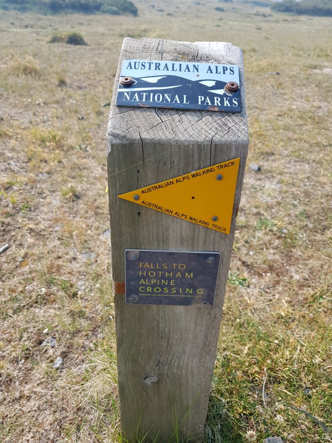

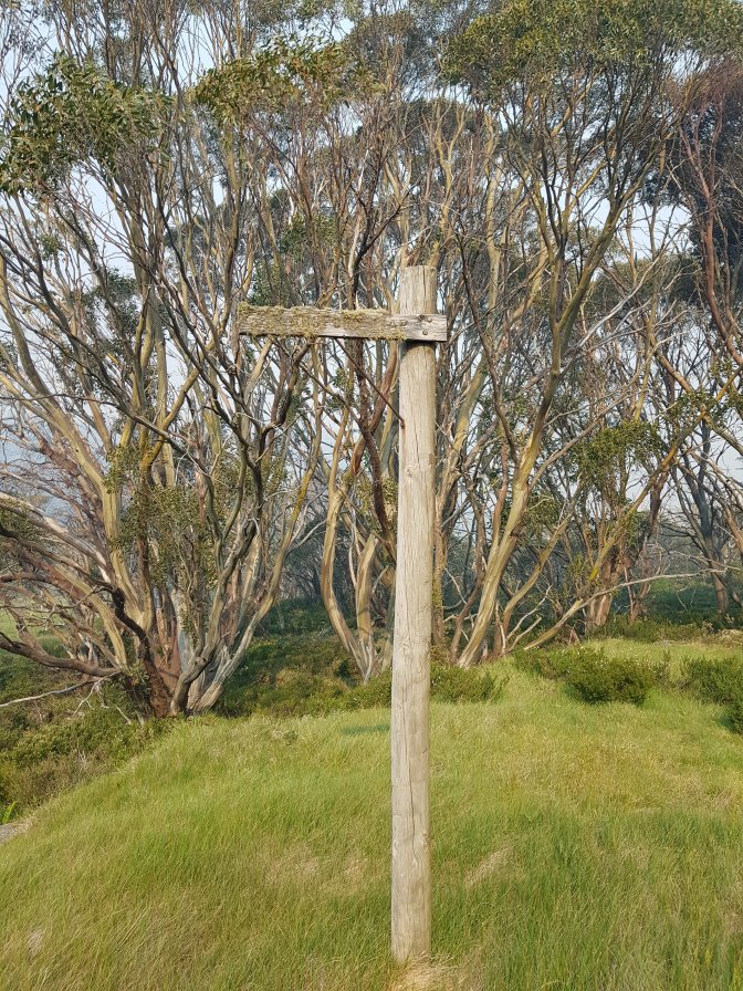
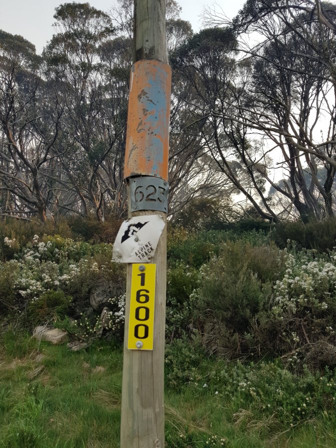


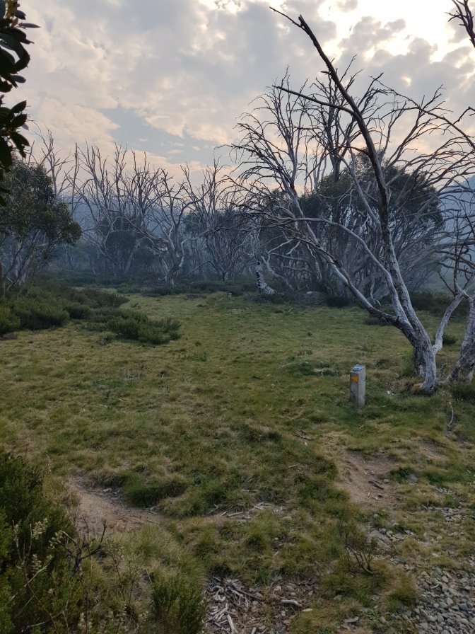

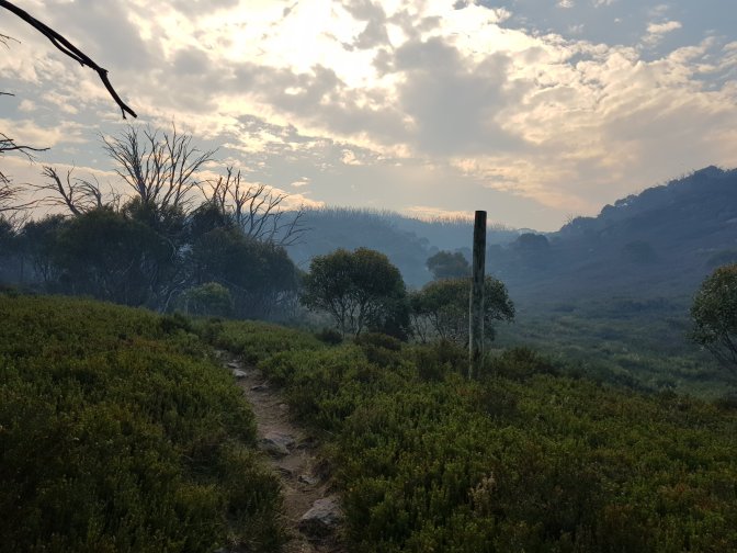


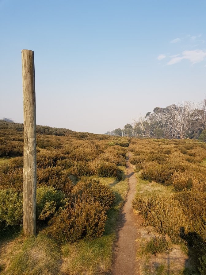

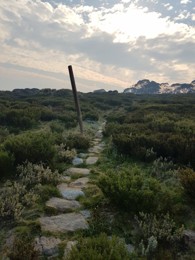

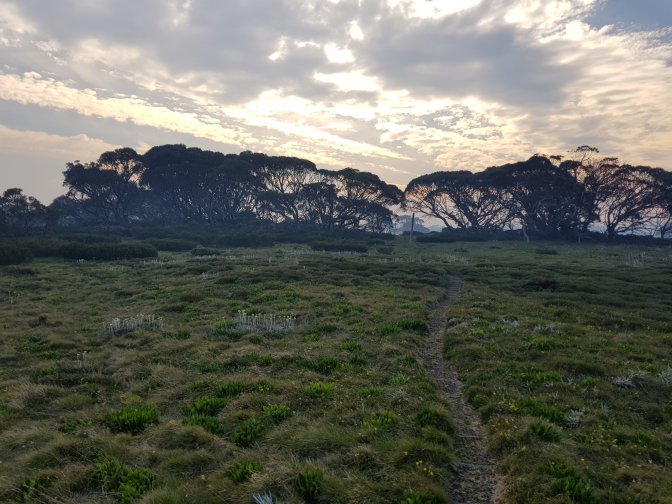


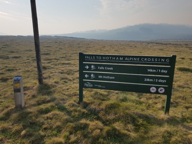
At the end of today’s walk there was a sign saying Mt Hotham is 23km/2 days away by hiking. My plan is to get here tomorrow. I’ll report back tomorrow night on whether it’s really a two day hike!
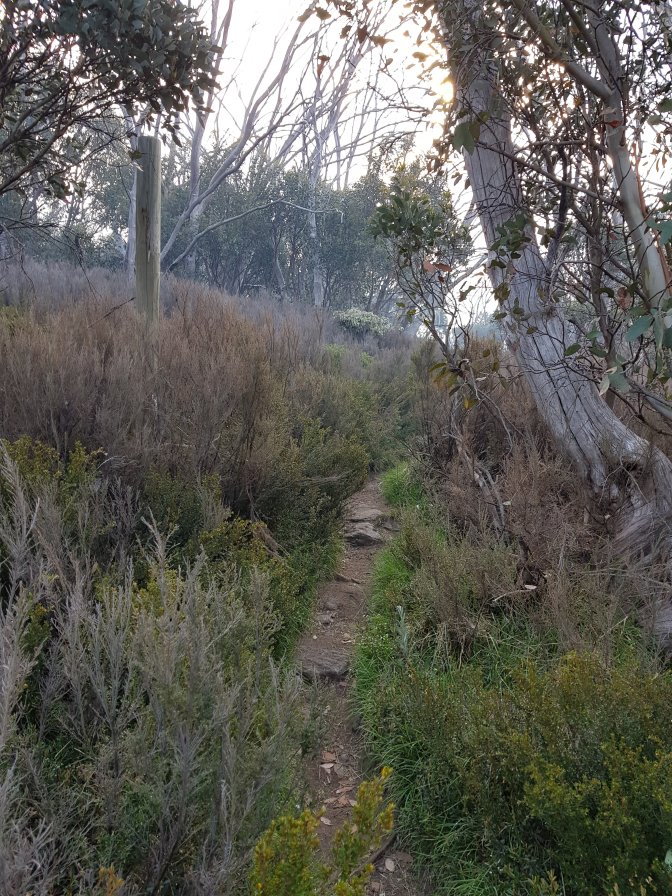
The Jubbie-mobile was there to meet me at the end and we came back to camp to get ready for tomorrow’s hike and have dinner. While I’d been hiking an RFS truck came into the campground. They let Jub know the smoke was coming from the fire near Omeo, that there are no fires around here. Apparently one started near the lake at 5pm, but they put it out straight away. They warned Jub that lightening storms are forecast and we should be careful. Whatever that means.