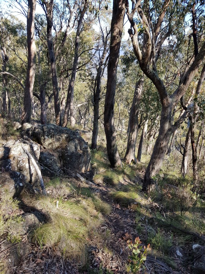
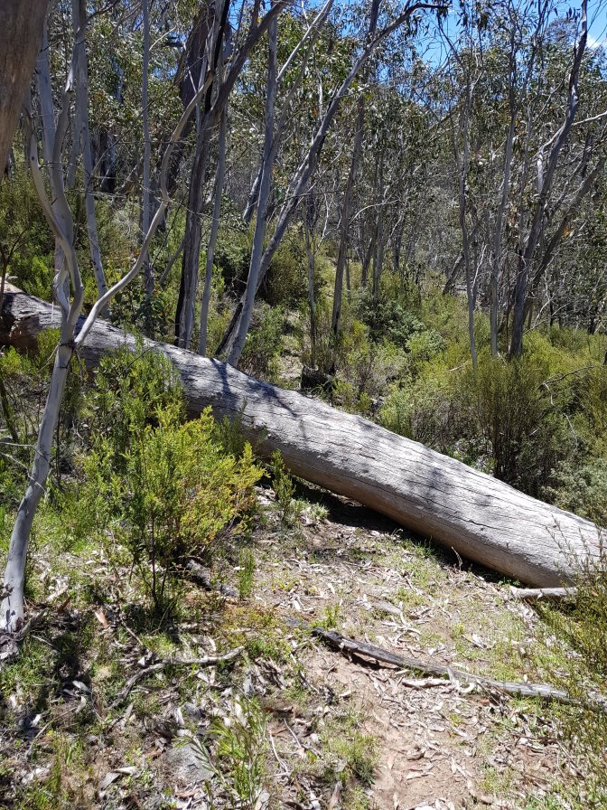
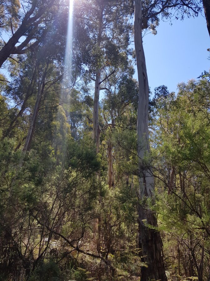
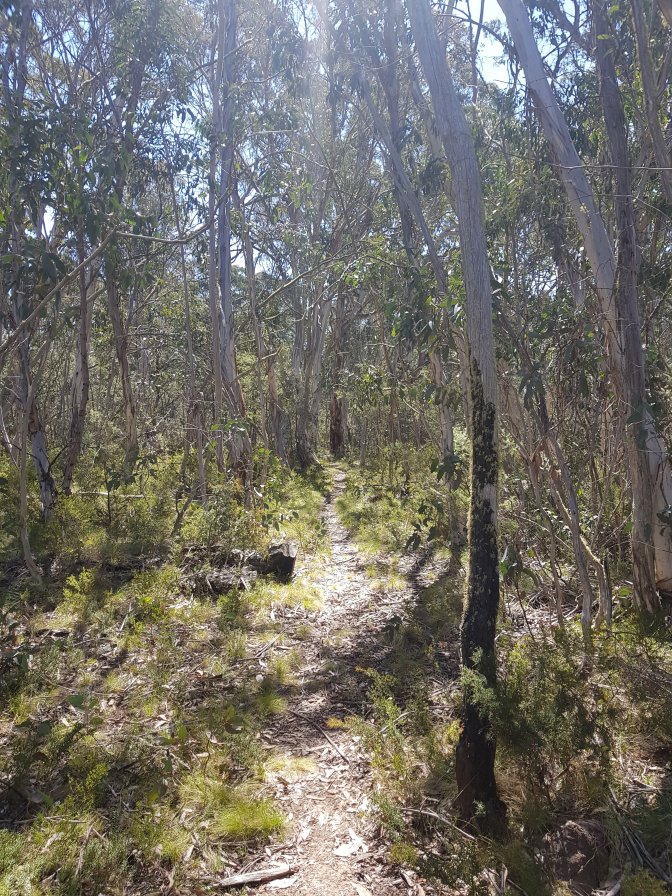
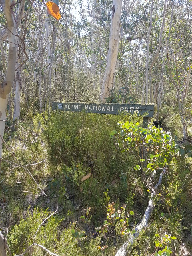
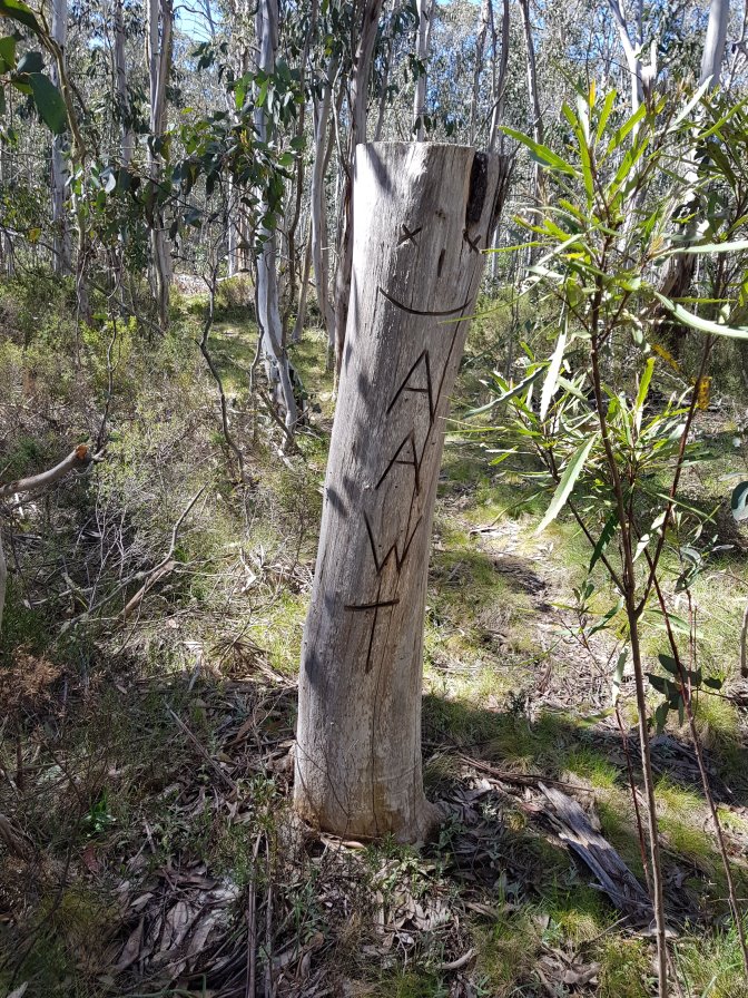
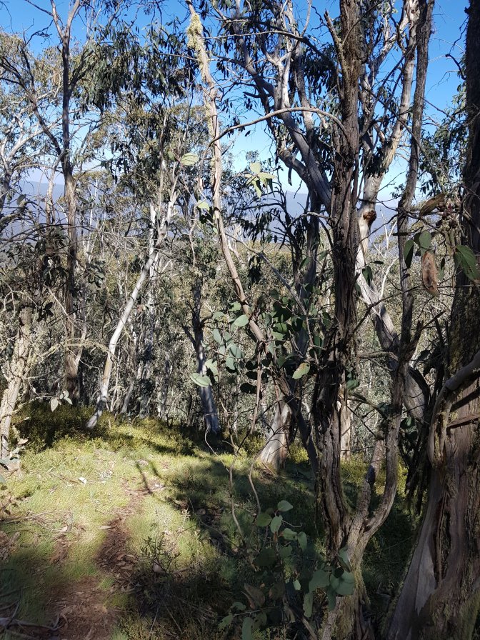
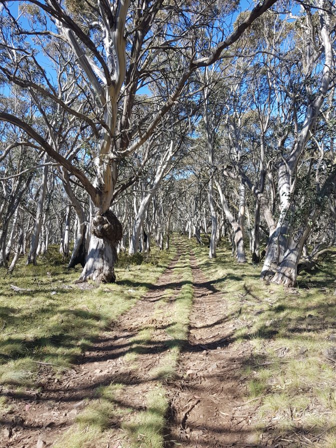
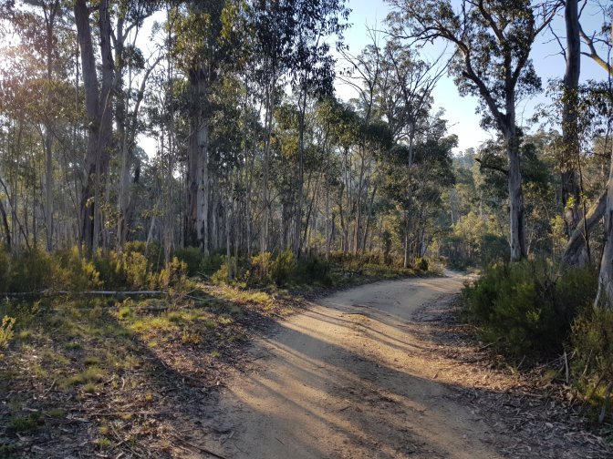
So, 26kms on today’s terrain, highly ambitious. This was one of the toughest hiking days so far. I started off on a nice foot track heading along a spur with AAWT markers at regular intervals to help ensure I didn’t accidentally head off down a brumby line.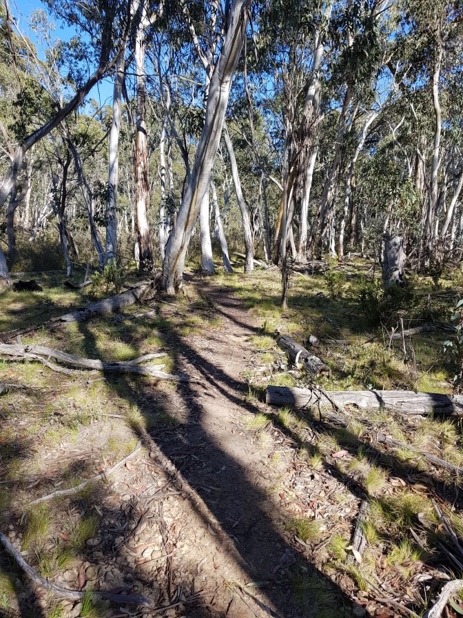


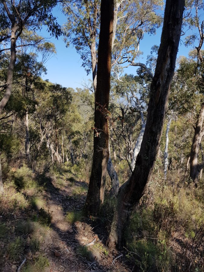

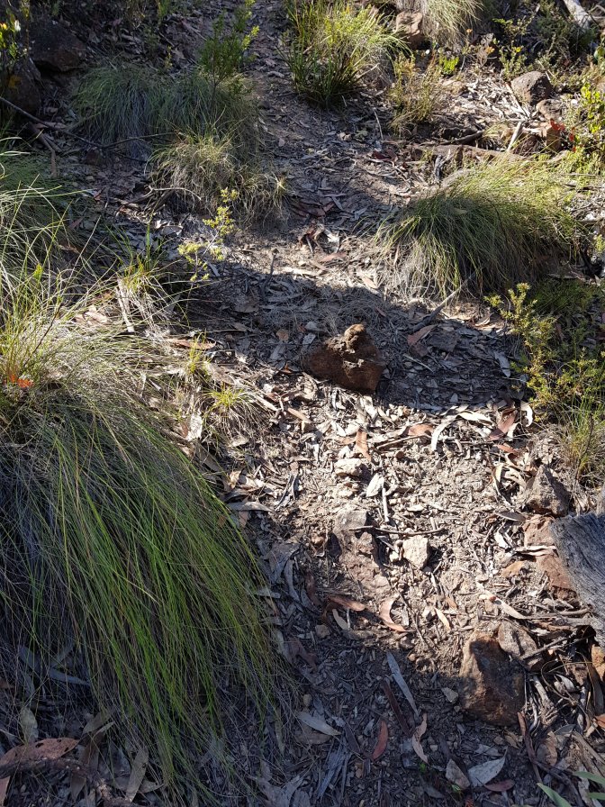


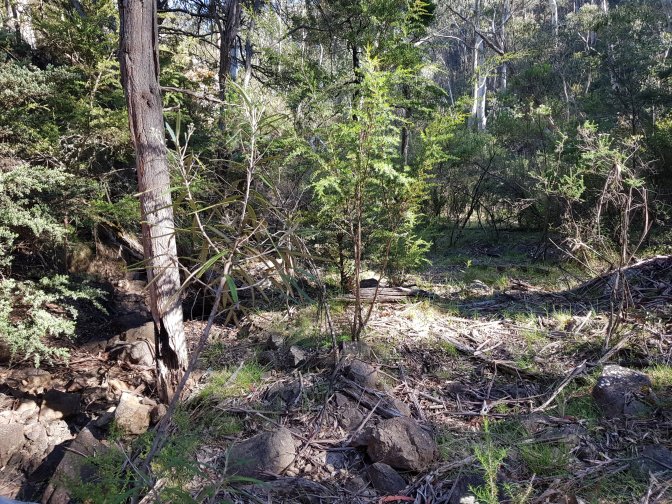
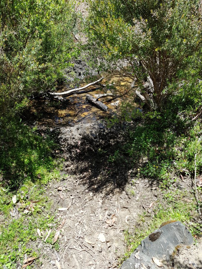
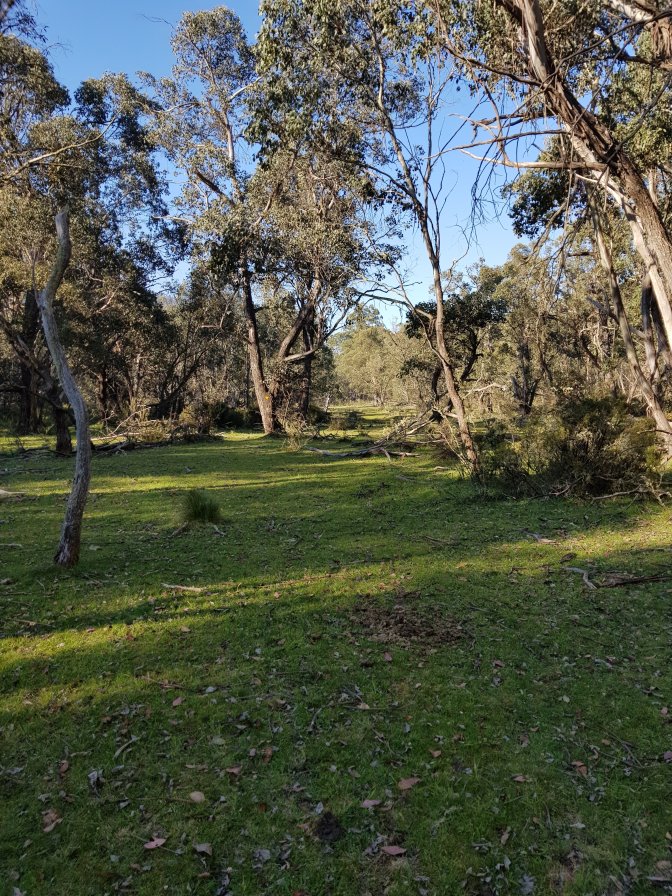
 After awhile the path headed downhill and at the bottom of the spur joined a creek where all markings and defined trail promptly disappeared (apparently some markings are there, but I certainly didn’t see them). Luckily (for me!) the creek was dry and I spent the next almost two hours walking in the creek bed and moving from the east to west bank and back trying to minimise bush bashing. It took two hours to do 2.5kms!


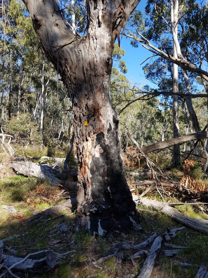
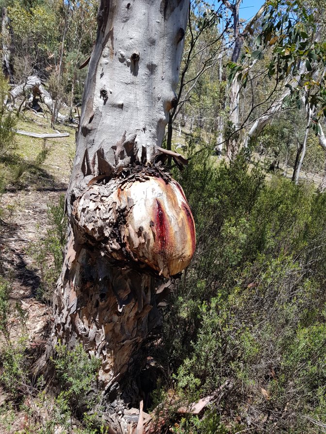
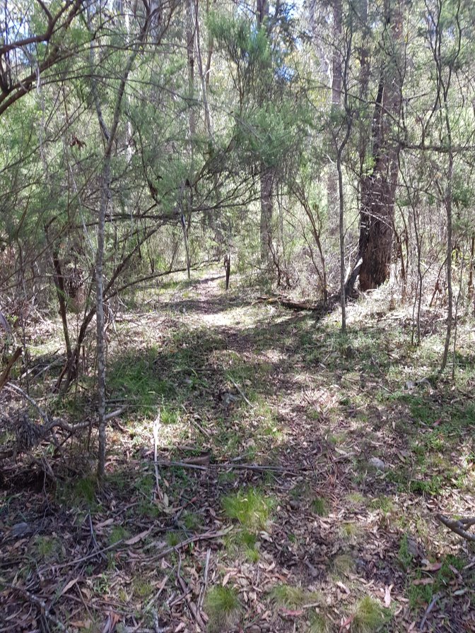
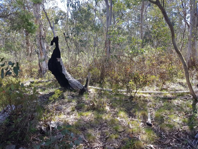
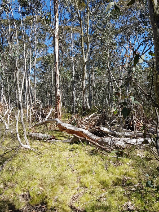
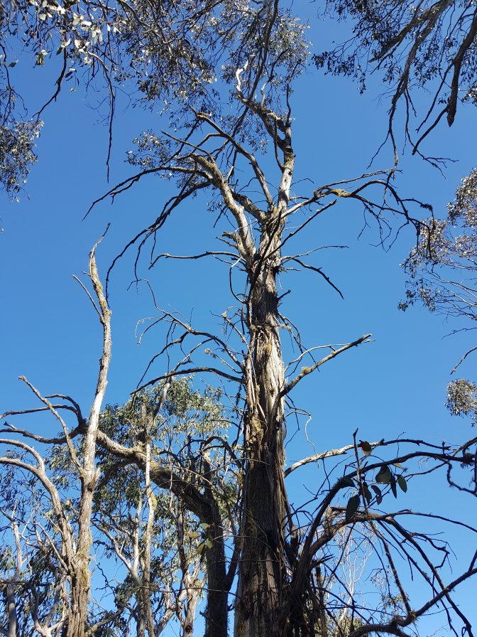
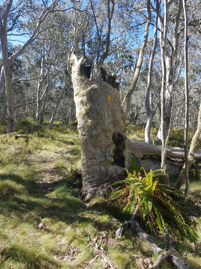
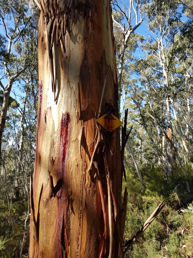
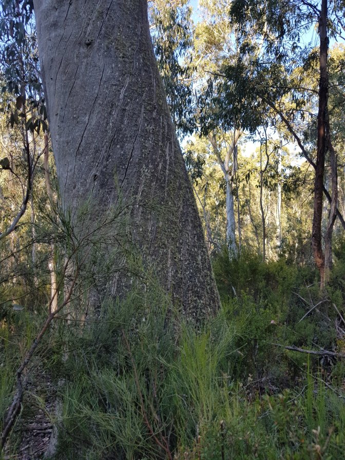
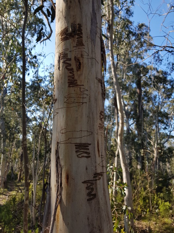
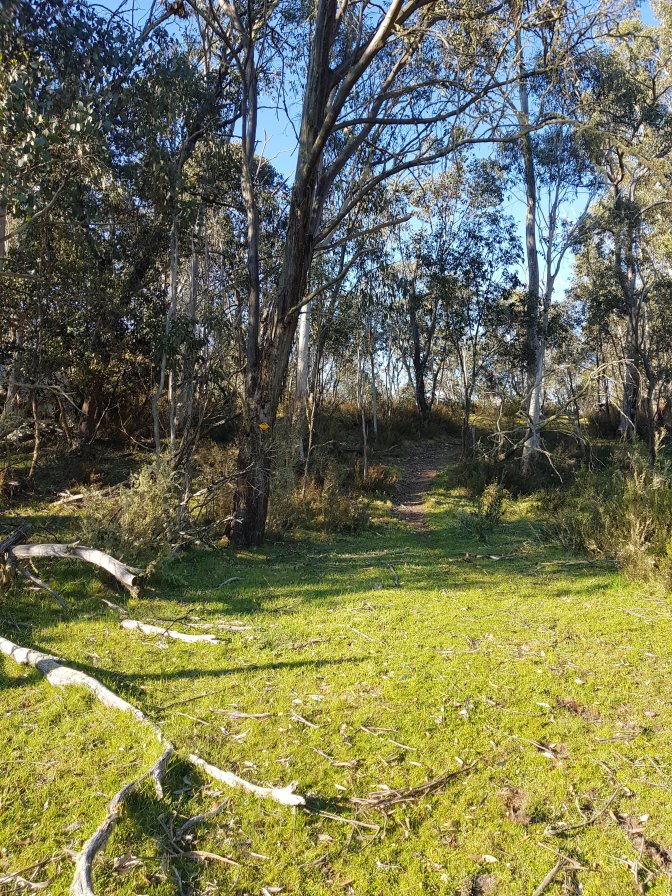
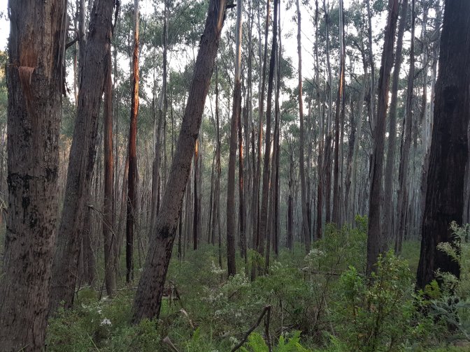
 The next marker I came across was for those walking south to north, but it gave me a good clue where to look and sure enough, l found another marker that pointed me up away from the creek bed. From then on the trail was well marked and pretty easy to follow for the rest of the day. Easy to follow, but not easy to walk! I also saw the first evidence of deer – apparently they scrape their antlers on trees, leaving behind orange trunks in the process.

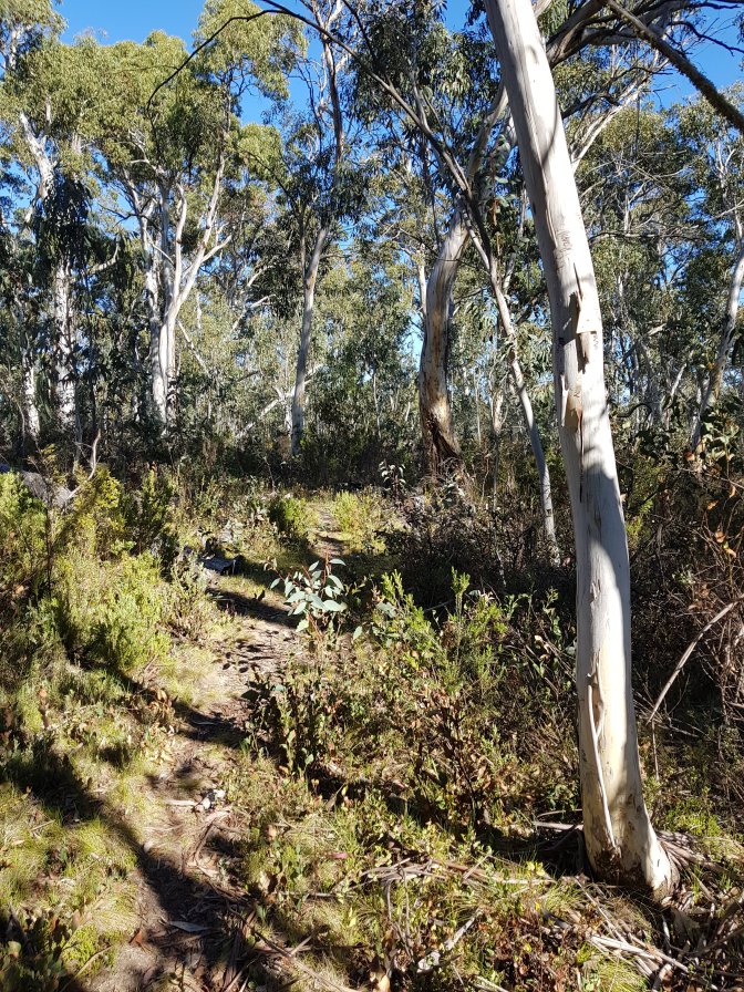
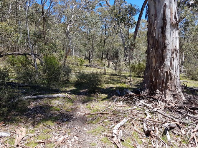
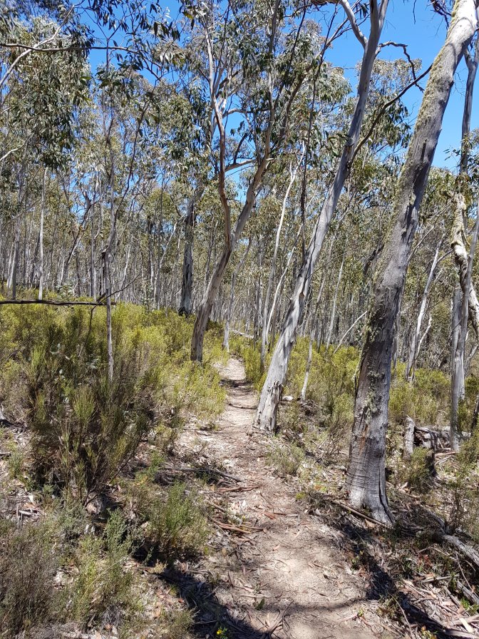
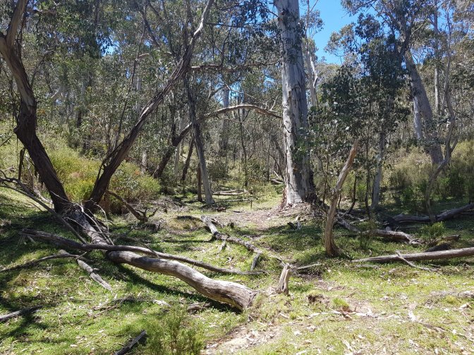
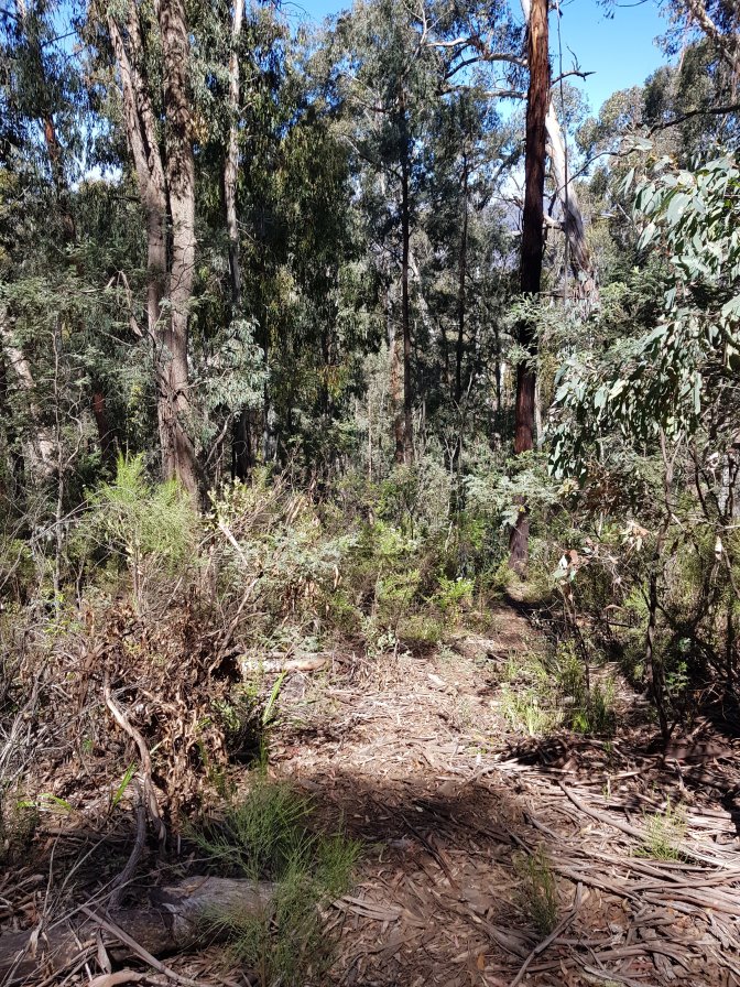
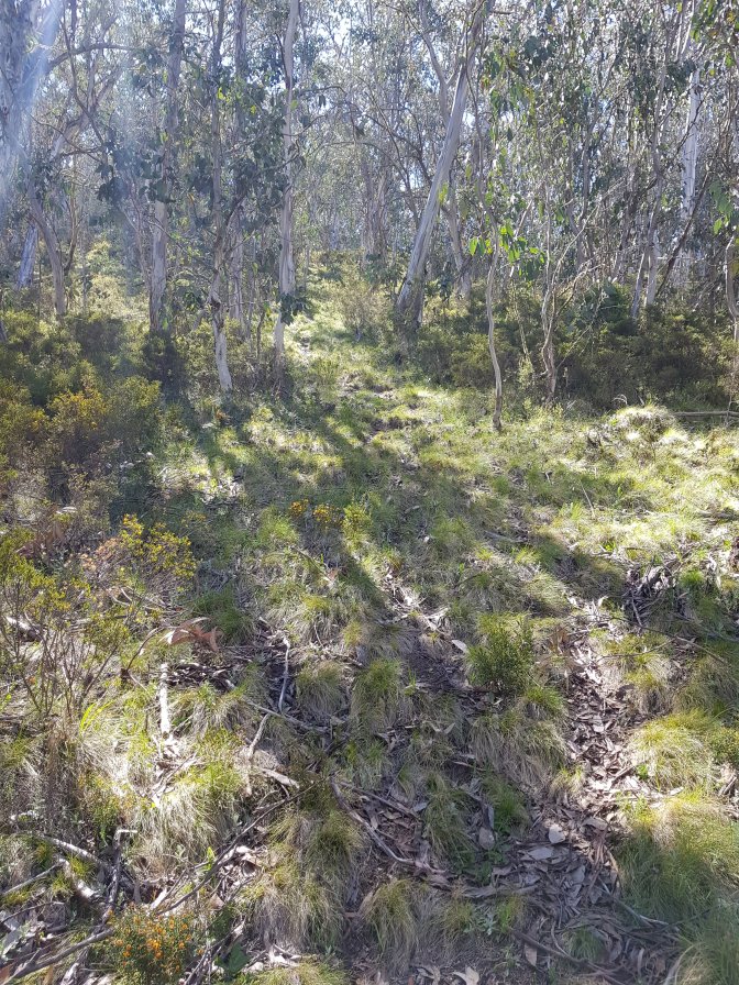
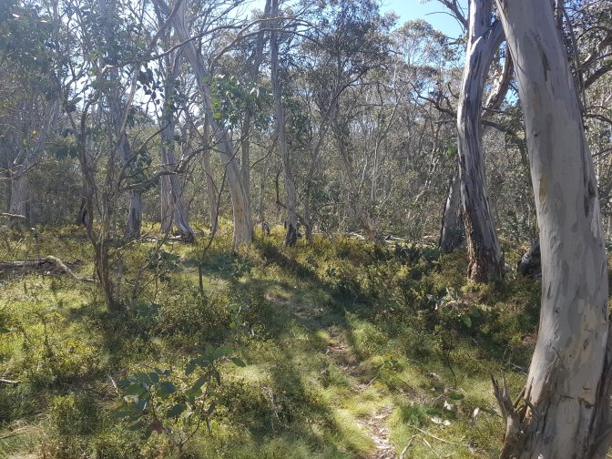
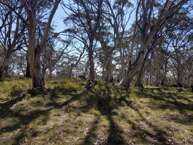
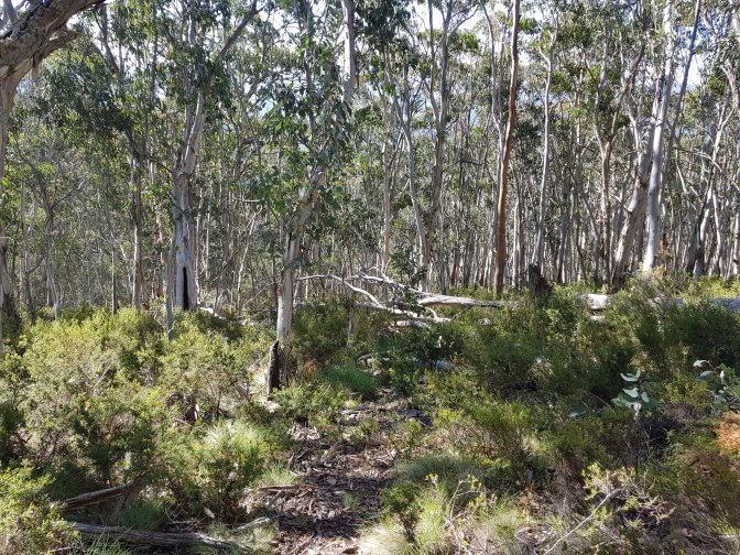
 The next section of trail was lovely to walk, relatively flat, easy to follow and a nice change from the previous two hours.


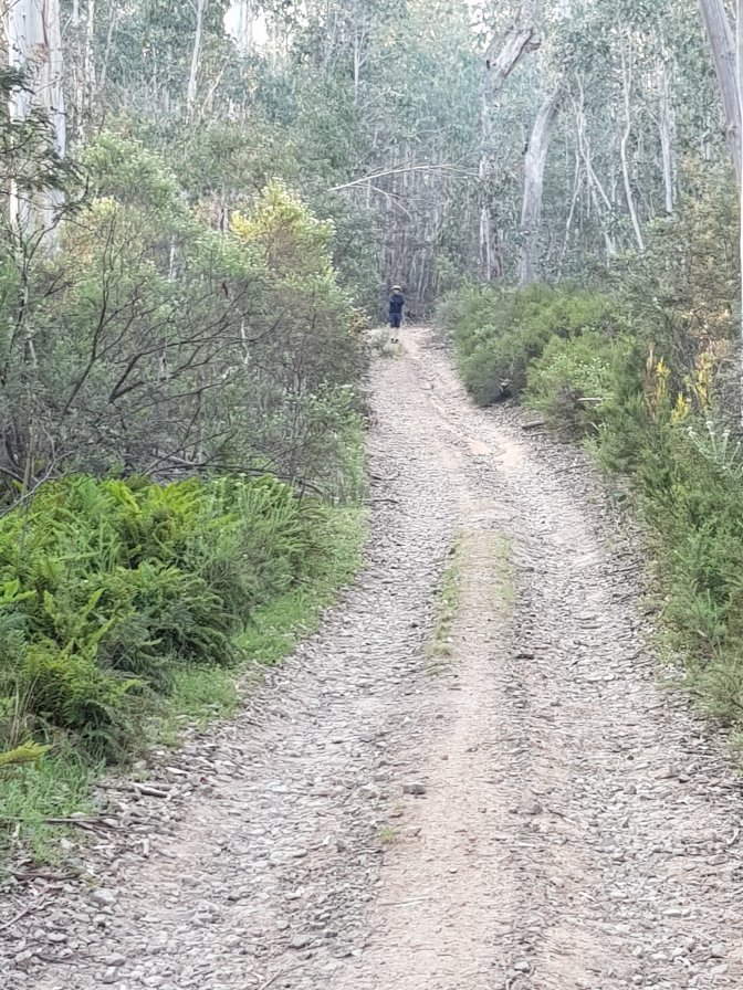
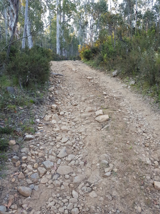
 Joining a 4WD track was another pleasant change. Until it got steep. Really, really steep. So steep that on sections with only dirt no rocks my feet slid back downhill! Two 4WDs went past and both struggled up. The second one actually had to reverse at one point and have a second go.


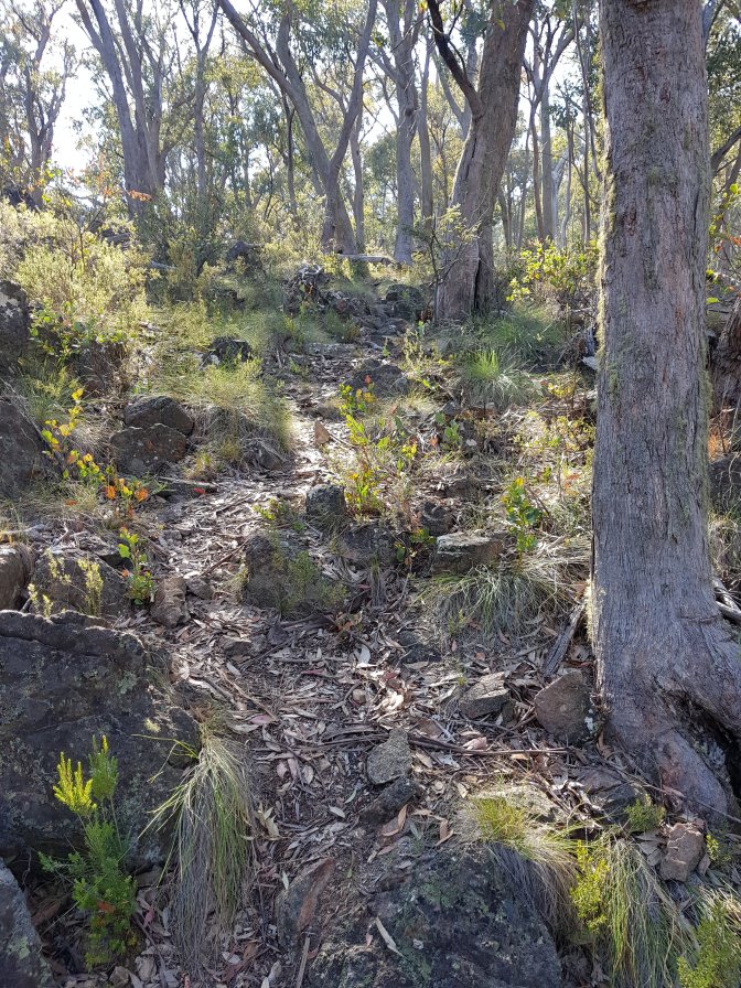
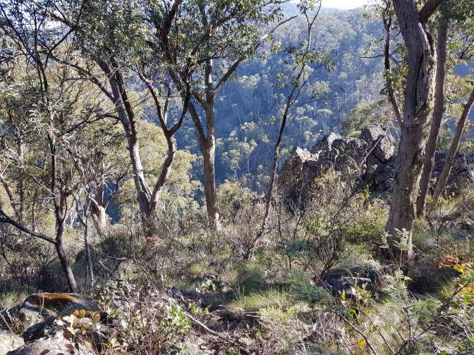
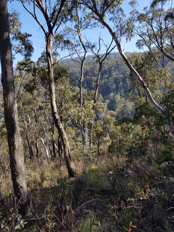
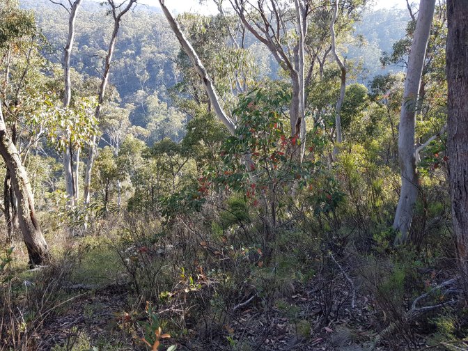
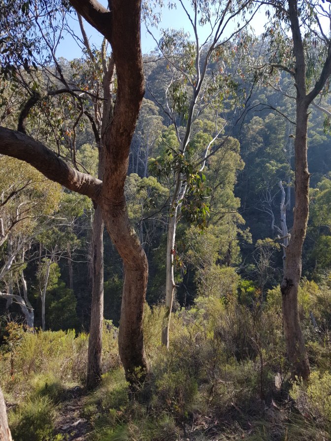
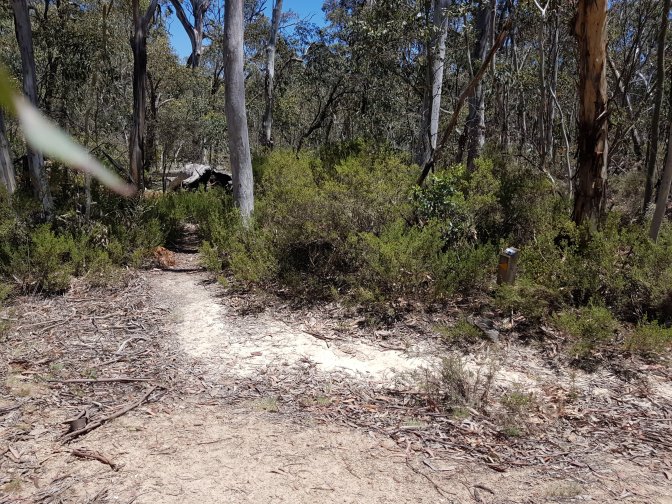
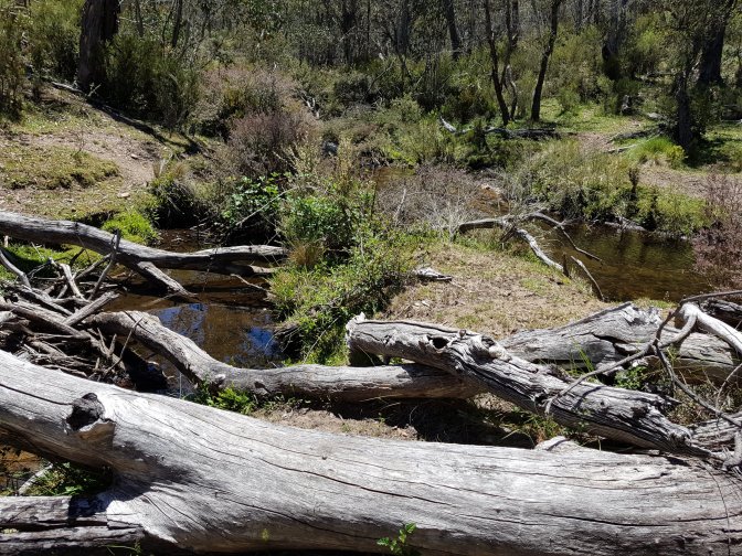
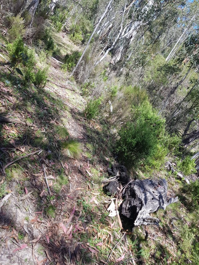
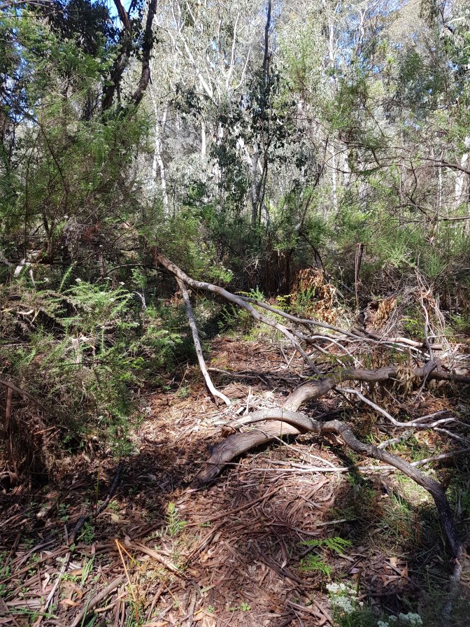
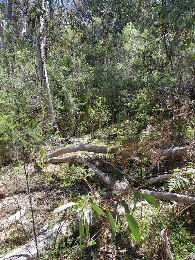
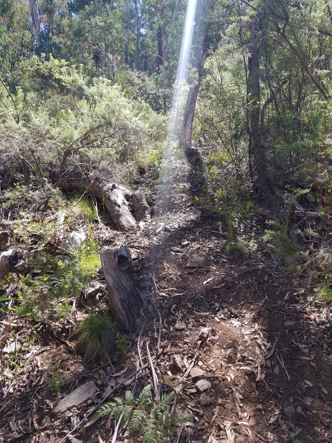
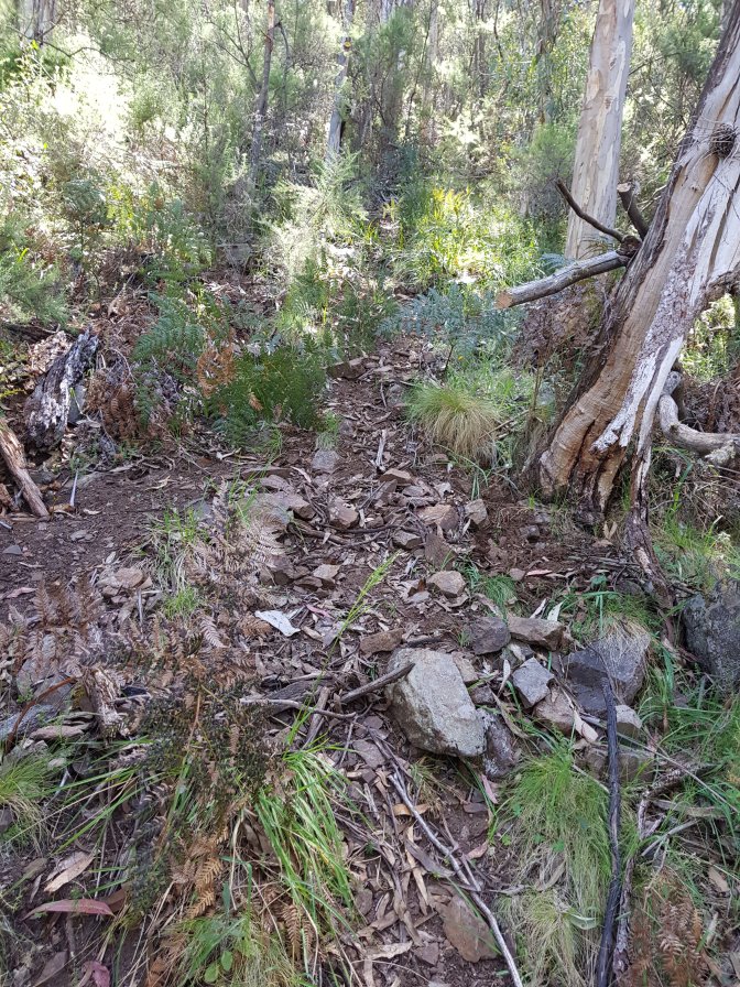
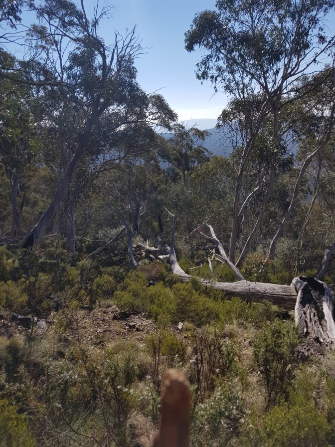
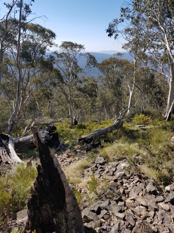
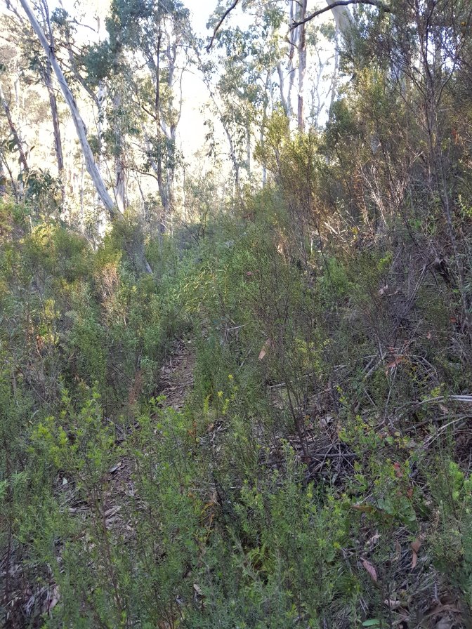
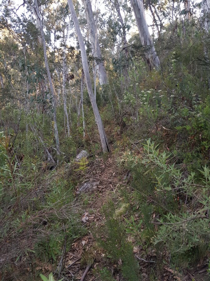
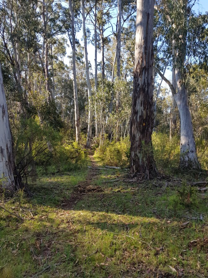
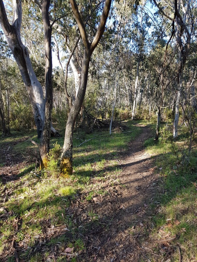
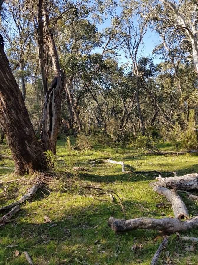
 The trail headed away from the 4WD track along a little bush track. The track was narrow and often balanced on the side of a hill meaning my left foot spent alot of that section on an angle using foot and ankle muscles in a way that tired them out. After a creek crossing which was either Dead Horse Creek or Smoke Oh Creek, the track went straight up the side of a mountain. Literally straight up. OMG, tough. The photos don’t do it justice. I’m walking right to left on the map below, following the red line.
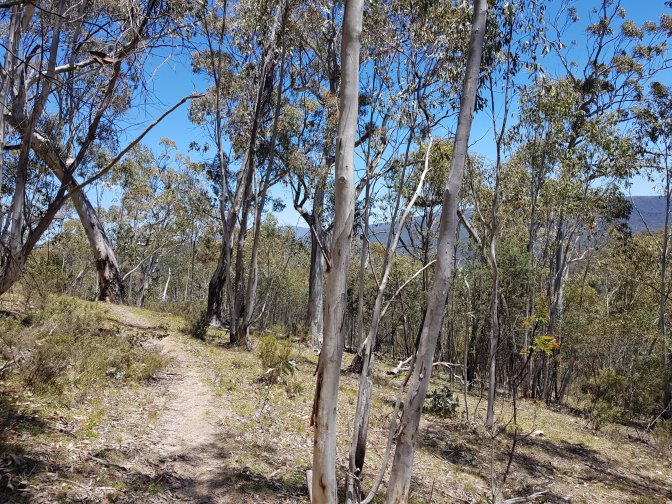


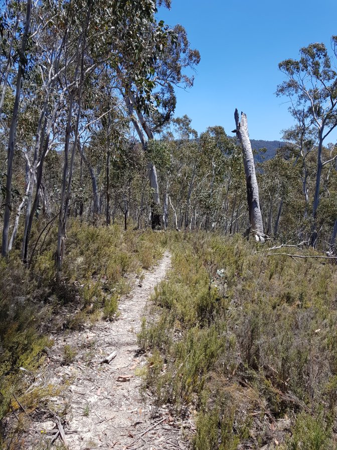


 Finally coming up onto the ridge was like heaven. Such an amazing feeling to stride along effortlessly. The track met a management trail and I was excited to walk along that for awhile. Except that’s not what happened. The track crossed straight over it and continued on the other side. To proceed straight up the side of another mountain.
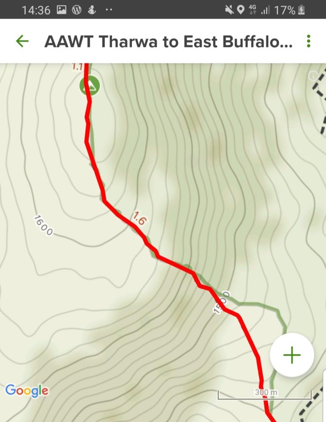


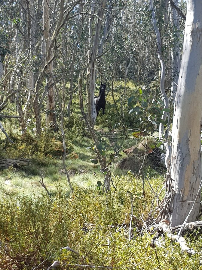
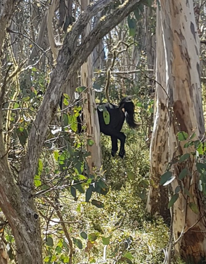
 On the ridge I came across a beautiful black brumby right on my path who was clearly very inconvenienced about having to move. He snorted and hurrumphed at me and grudgingly got off the path. As soon as I’d passed, he and his group went right back to where they’d been.
 Again, the walk along the ridge was a welcome change from the what felt like near vertical ascent. The track even joined a management trail for a short while which sped things up and gave my poor old feet a bit of a break. Due to the terrain, my progress had been particularly slow. For much of the day I’d been worried l wouldn’t make it back to Jub before dark. To lighten my pack and help get through the distance I’d taken out everything except food, water and first aid kit. That meant I’d had the luxury of carrying less than 8kgs (ah, bliss). It also meant I had no tent etc if I didn’t make it back to Jub before dark and my only option would be to wrap myself up in my emergency blanket to get through the night! I’d used the carrot and stick to motivate myself all day to keep moving. Jub had messaged that we’d stay in a pub so the carrot was a shower and bed. The stick was emergency blanket in the bush for the night. Both highly motivating. After each slow section, I’d recalculate how long it would take me and it was going to be close to dark. Early afternoon l messaged Jub that it would be at least 7:30 before I got to him. He wouldn’t have mobile coverage at our meeting point, so would have no idea where I was unless he drove 45 minutes to pick up signal.
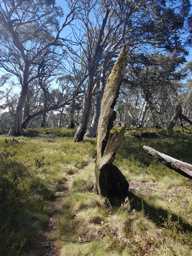


 This time when the track left the management trail, it went straight downhill, right down the side of the mountain. I’m not sure which I prefer, straight up or straight down. I think up is less straining on my knees and I seem to slip less.
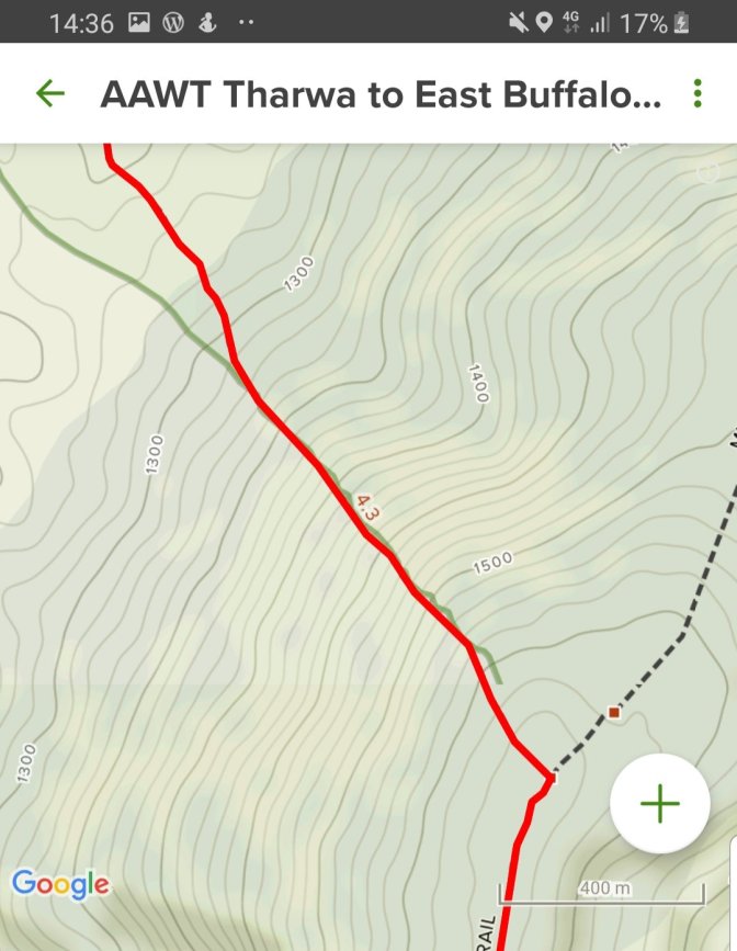


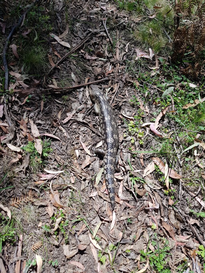
 I came across big snake number two, again lying right on my path. People told me don’t worry, snakes will disappear when they hear/feel you coming. Not true for either of these. They were clearly aware of their supremacy over me and were staying put.
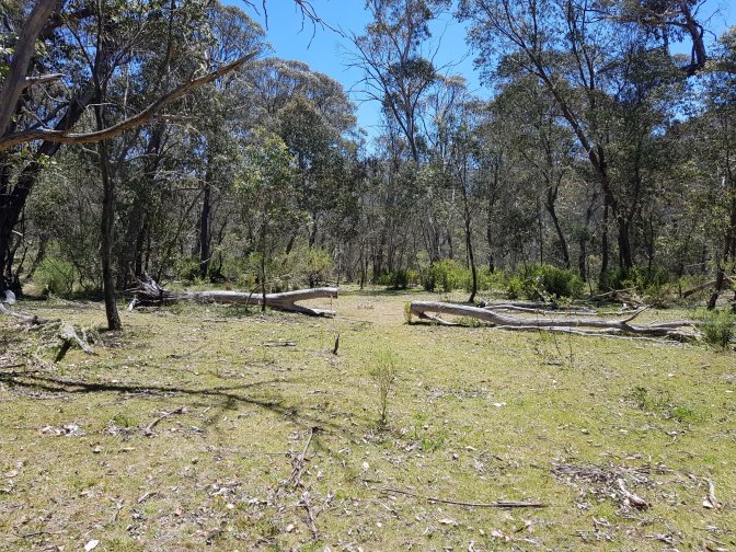
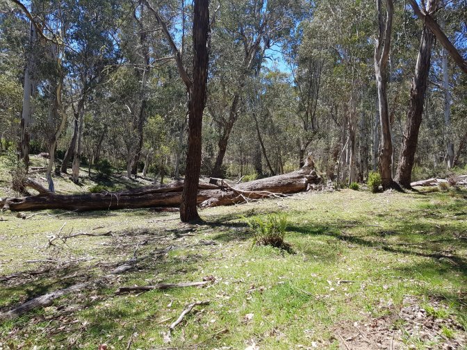
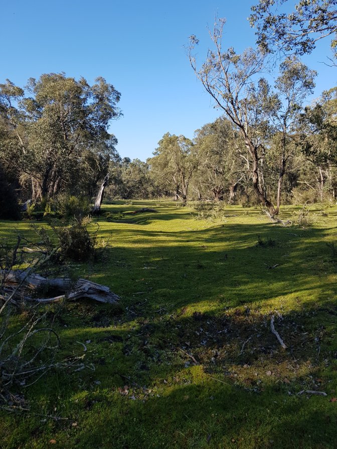
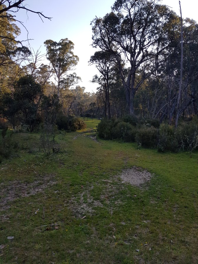
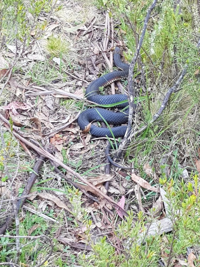 At the bottom the track opened out onto what looked like a golf course. I believe these are caused by brumbies which is shocking for our native environment, but oh so nice to walk on!!
 And finally, Buckwong Track 4WD track and the first time I was 100% sure I’d make it to Jub. Even if I’d had to walk along it in the dark, I could have. Whilst I’d have preferred a flat road, I was completely happy to walk uphill the 6kms to the end. What a welcome sight when l came across Jubble on the track 3kms before the end. He put my pack in his car and I walked the last bit sans pack.
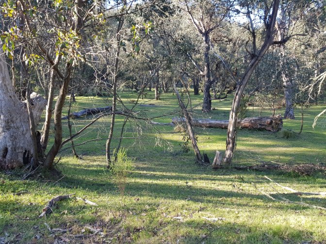


 By the time we got back to Benbambra, the pub was closed. Thankfully the lady in the convenience store was there and she phoned the owner of the pub to come back and let us in for the night. At 9:30pm Chef Jublé cooked up savoury rice and veggies in the backyard of the pub while l had a shower. Most delicious dinner. l hadn’t eaten since lunch at 2pm and was starving! My GPS told me I’d walked for 11hours and 27 minutes. Except for a 20 min lunch break, I’d been on my feet and moving the entire time.

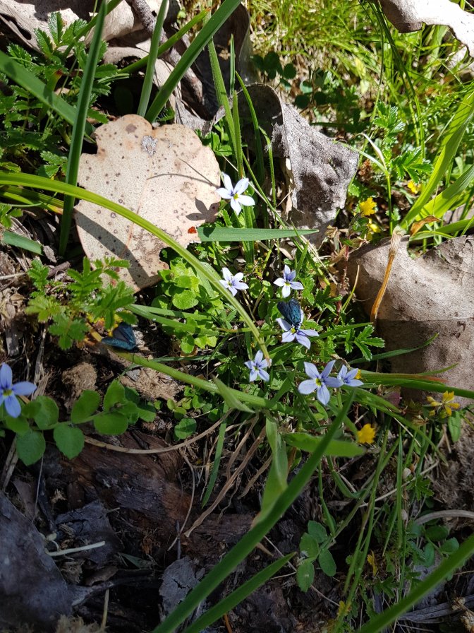
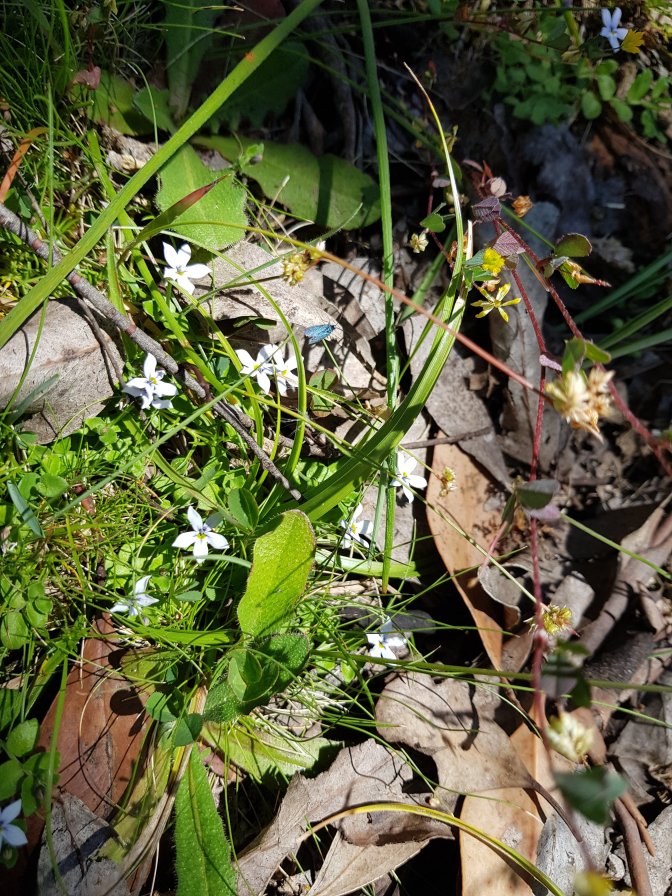
Amazing endurance. And your photos over the last few days make me want to paint.
LikeLike
Thanks Sue. I’ll look forward to seeing your masterpiece!
LikeLike