Check out this map I created on AllTrails.
https://www.alltrails.com/explore/map/map–80205?p=-1
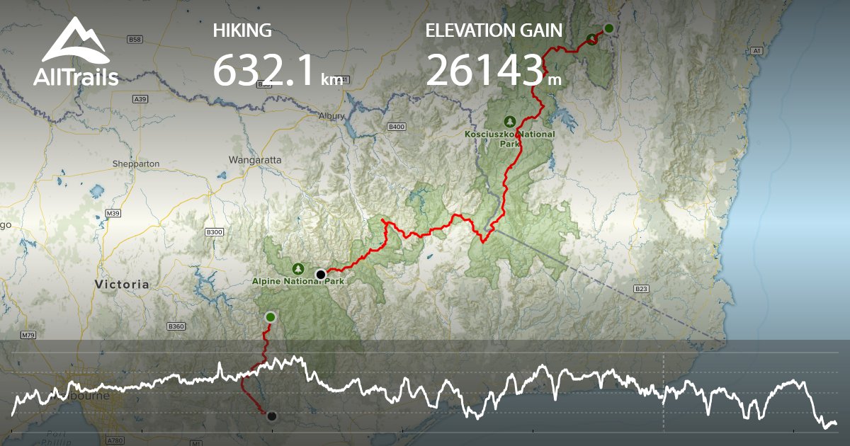
Here’s my planned trip. I’m skipping a bit along the way because it’s pretty remote, finding water is apparently a challenge and l don’t think I’ve got the navigation skills or courage to be out there for five days alone. That’s why there’s a gap in the red line.
I’m walking north to south. I hope to finish around new year’s.
Note after the fact: I planned to hike 590kms. I actually hiked 483kms over 26 days. I took five rest days. I camped alone seven nights.
I missed four days of walking (70kms) from Benambra-Corryong Road to Langford Gap. I chose to skip Benambra-Corryong Road to Sunnyside because fires had started in the area around Omeo and we made the call to leave the area. The track was closed from Sunnyside to Madisons Hut site due to fires, so there was no option to do that section. We also missed the last three days from Easton Dam to Walhalla (57km) due to a car accident. We arrived back in Sydney on 30/12/19, just ahead of the horrific fires that started in the region we’d been in shortly after.
